cover photo by
Albieri Sergio
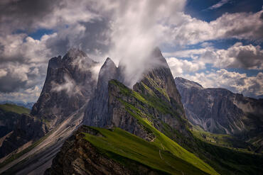
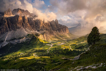
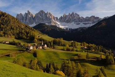
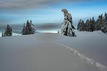
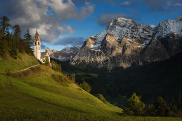
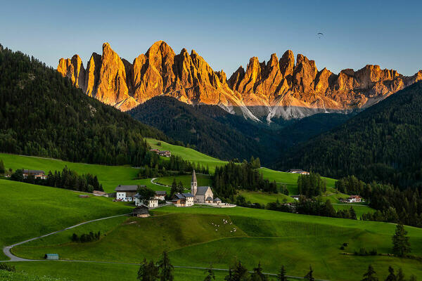
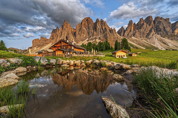
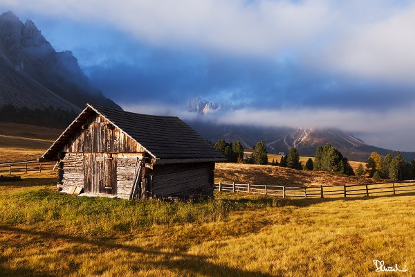
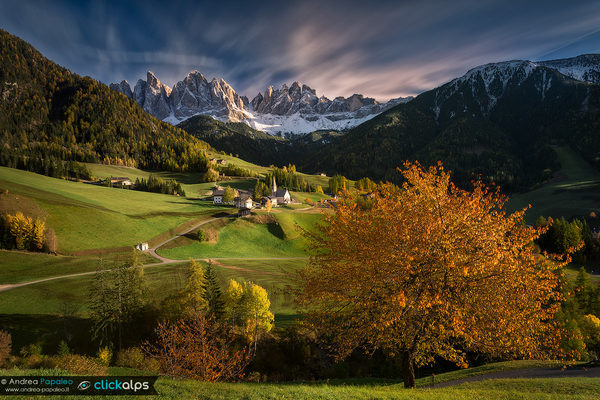
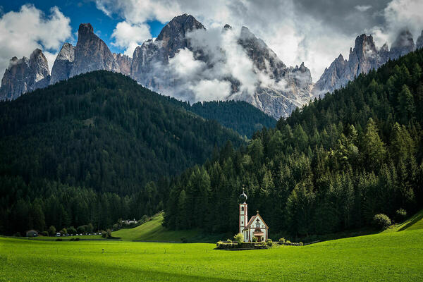
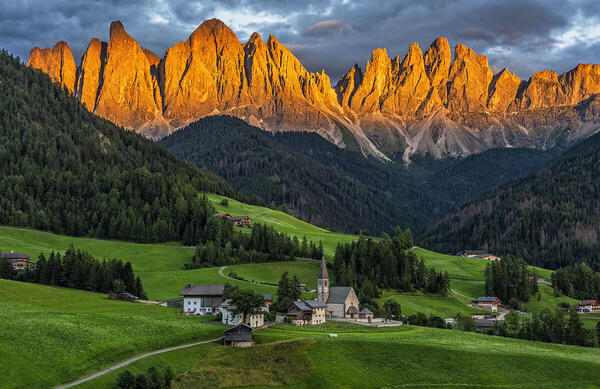
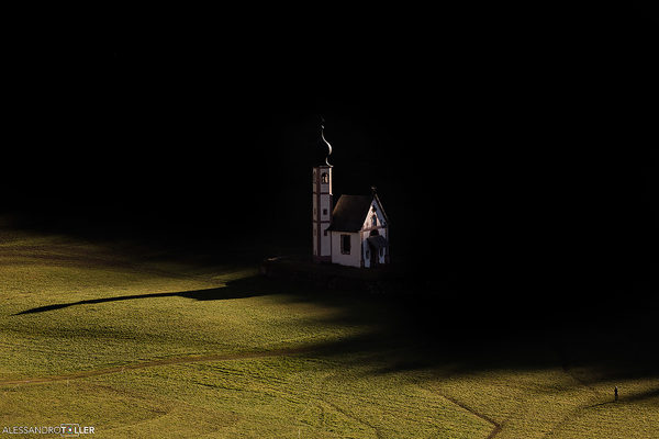
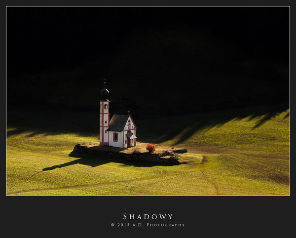
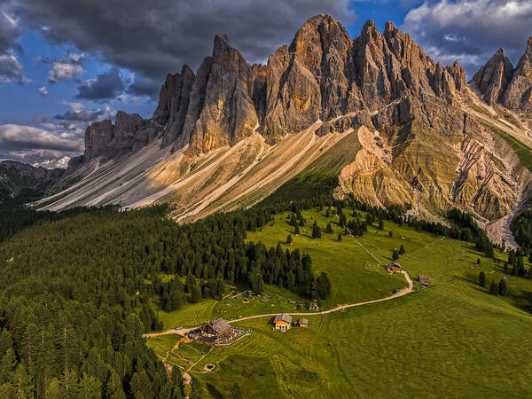
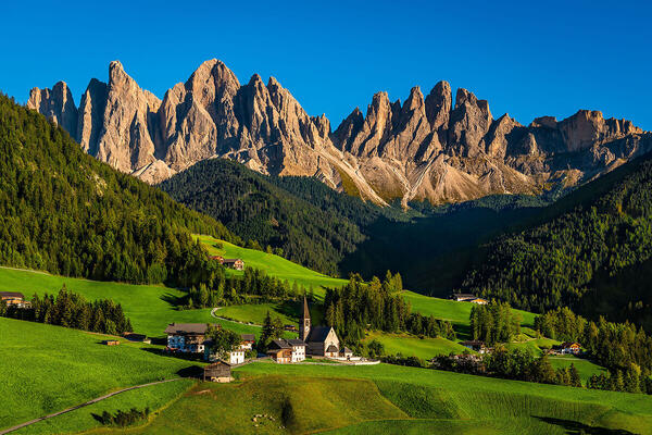
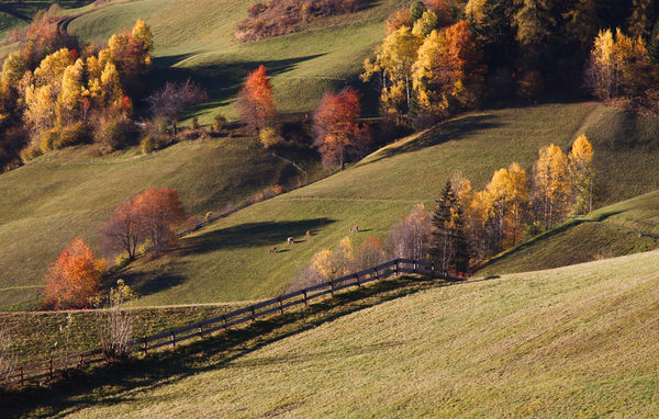
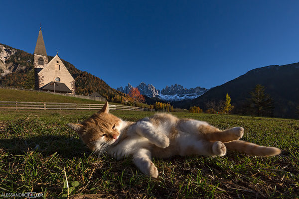
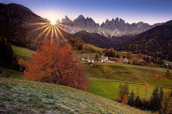
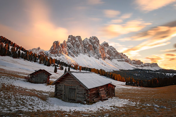
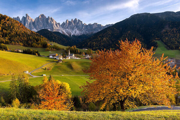
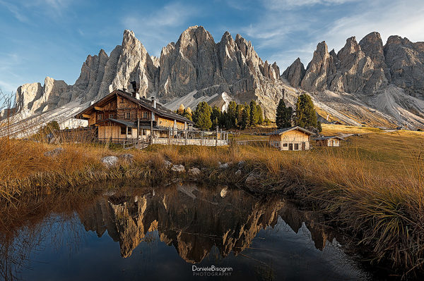
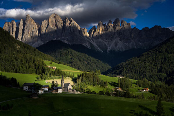
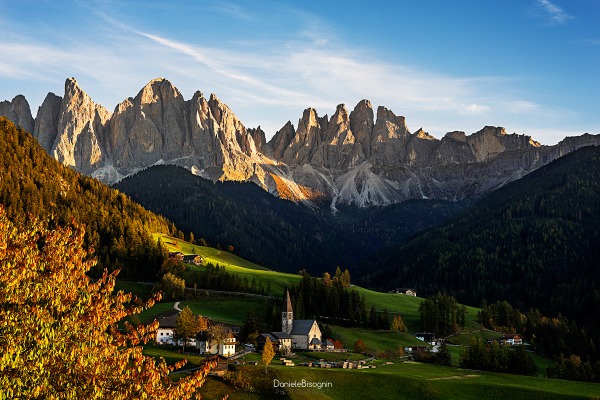
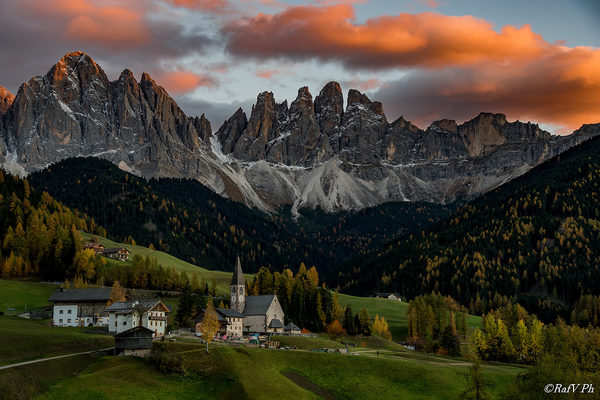
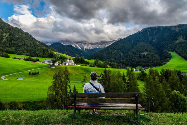
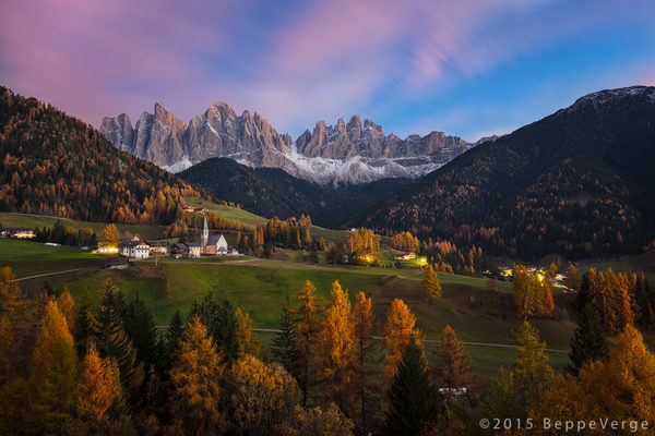
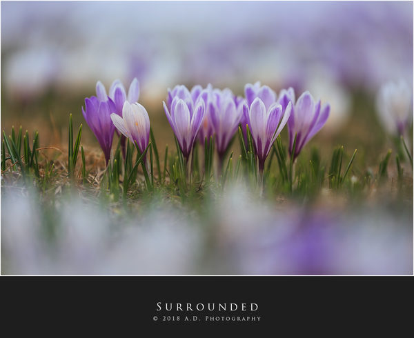
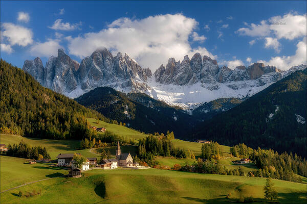
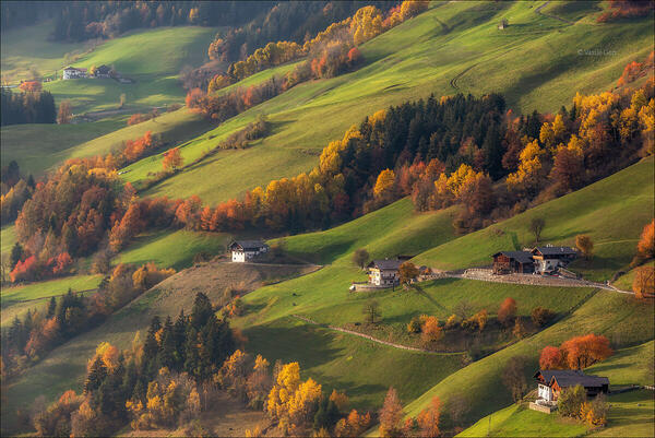
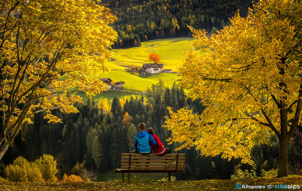
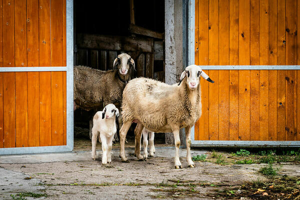
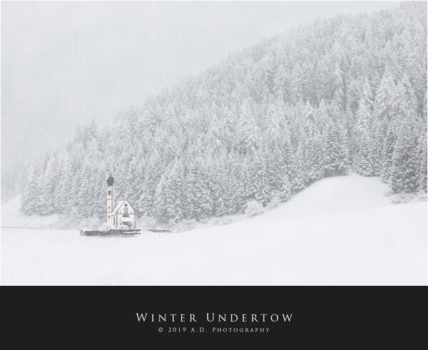
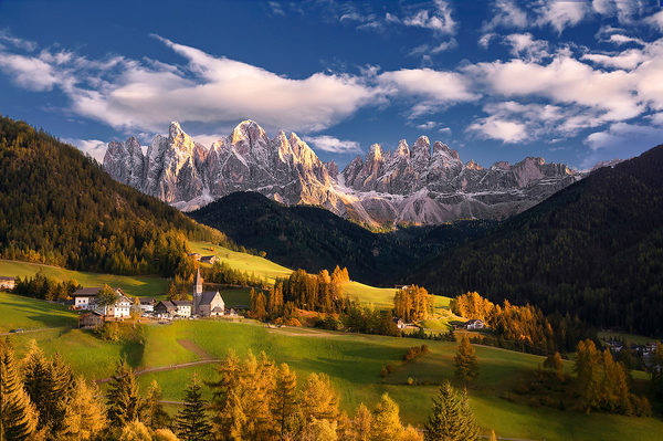
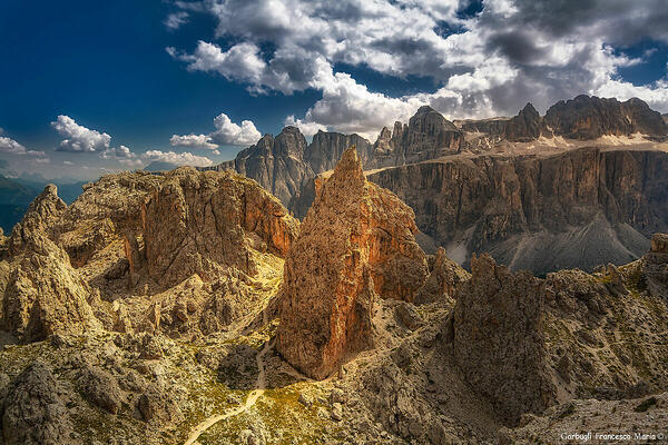
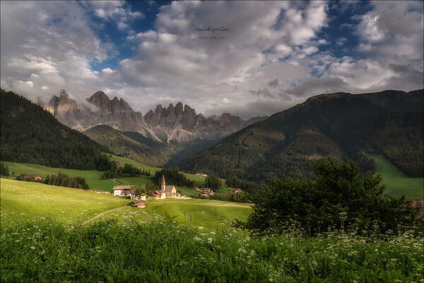
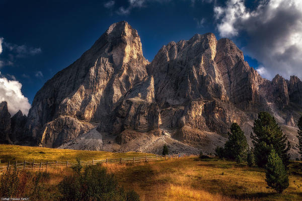
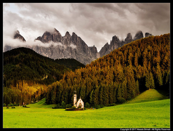
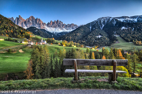
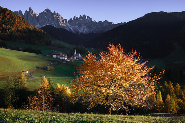
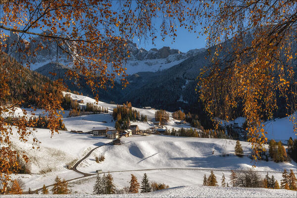
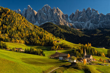
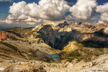
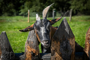
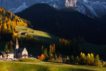
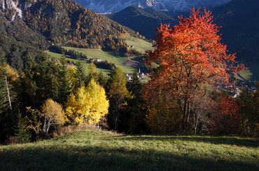
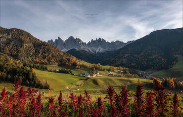
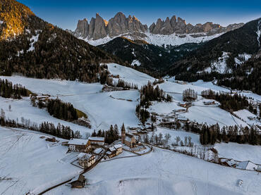
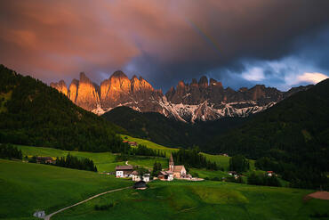
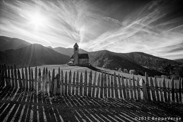
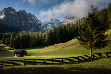
 The information about this location have been automatically translated with Microsoft Translator. The information about this location have been automatically translated with Microsoft Translator. Rank : 9.8 (average on 17 votes)Coordinates : 46.620484, 11.801051 ( Open in Google Maps) Subjects : Deer, chamois, deer, marmots, eagles, stoats, grouse, hawks, crows, jays. A very large variety of plants and scenery very beautiful photo panoramiche.Il Puez-Odle, expanded on 10.31.1978, with the decree n ° 29 / V / LS (4) the President of the Provincial Council, covers an area of ??10,196 hectares. Fall within the territory of the natural park of the municipalities of Alta Badia, Corvara in Badia, Funes, San Martino in Badia, Ortisei, Santa Cristina in Val Gardena and Selva di Val Gardena.Recommended equipment : All the equipment compartment fine, just have a passion for nature and photography.Best months : The summer periods are easier to approach, but also in invenro places are great to photograph.How to get there : Highway denominated Brenner, exit closed, Val Gardena.Oppure Highway denominated Brenner, exit Bressanone, Val di Funes or Val Badia.Visits : Free admission throughout the year.Notes :
CalendarSunrise: 05:29, Sunset: 20:49 Show Sunrise and Sunset Calendar DiscussionNo replies Read the discussion Moon Phase🌓 First Quarter, Brightness: 44% Show Moon Phases Calendar |
Nearby:  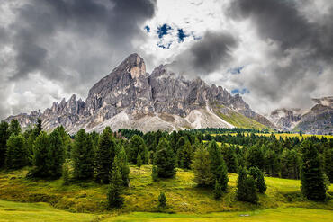 Passo delle Erbe 4 km
 Seceda 6 km
 Passo Gardena 7 km
 Val di Funes 7 km
 Armentara 10 km
 La Valle - Wengen 10 km
|


 JuzaPhoto contains affiliate links from Amazon and Ebay and JuzaPhoto earn a commission in case of purchase through affiliate links.

