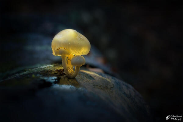
cover photo by
XFleshcoated
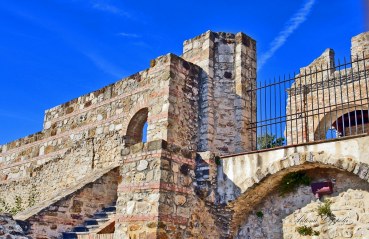
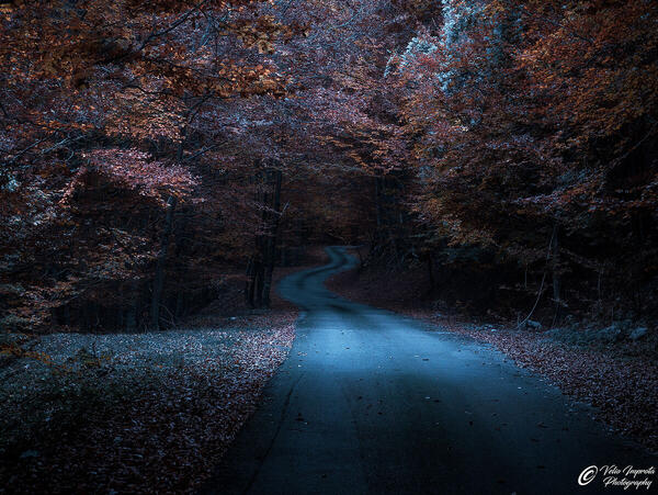
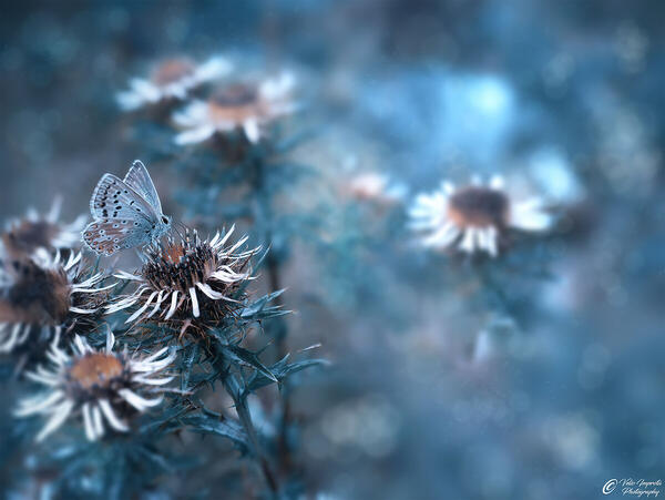
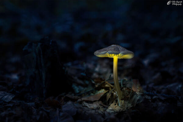
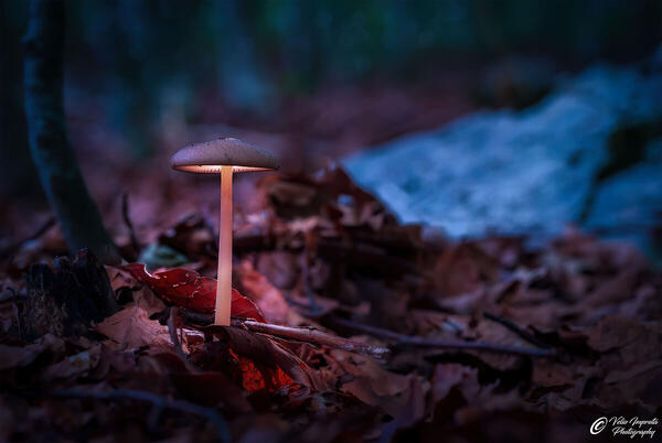
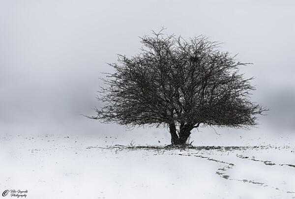
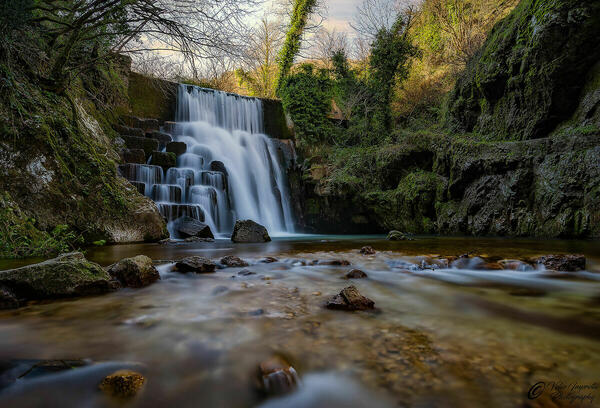
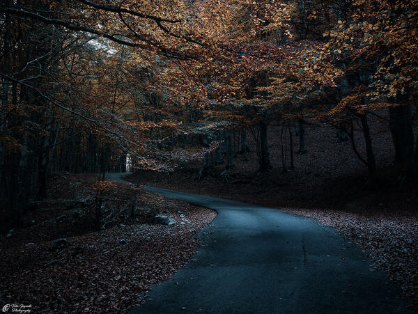
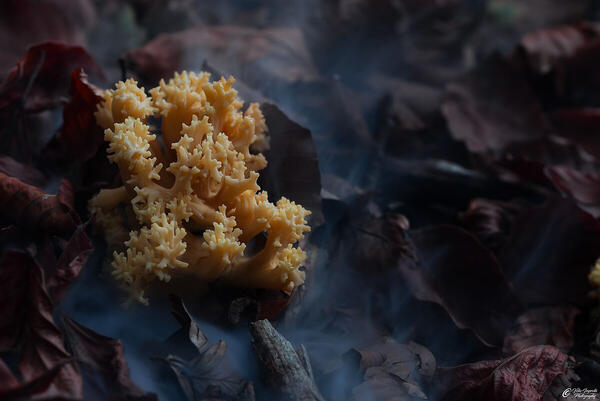
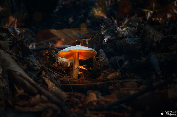
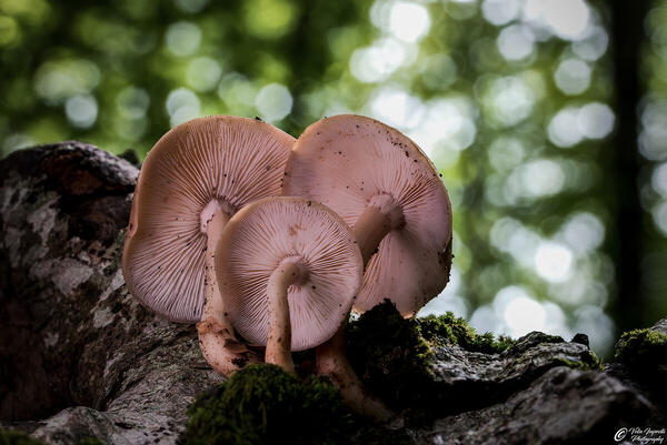
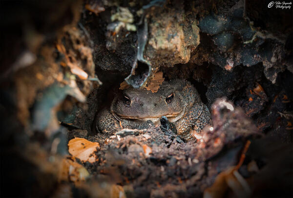
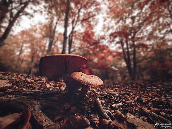
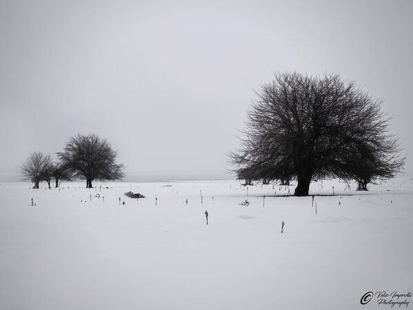
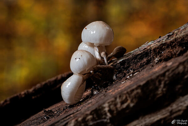
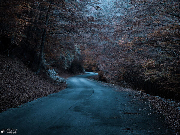
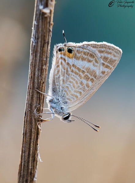
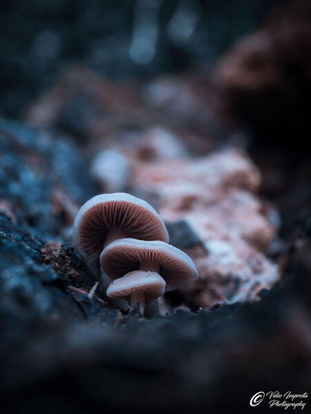
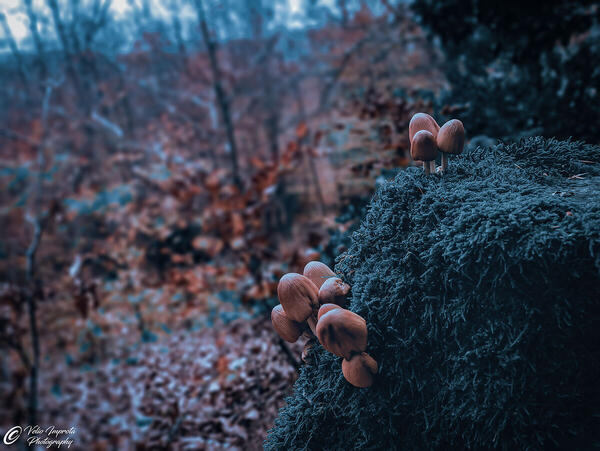
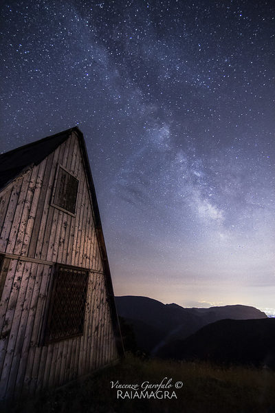
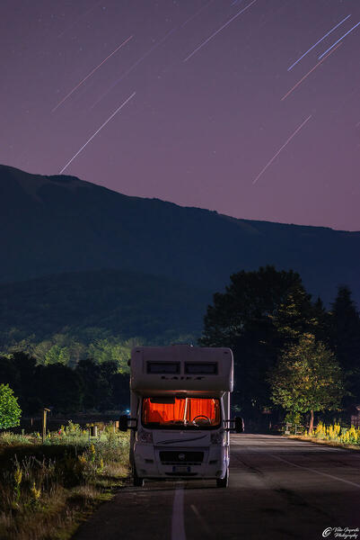
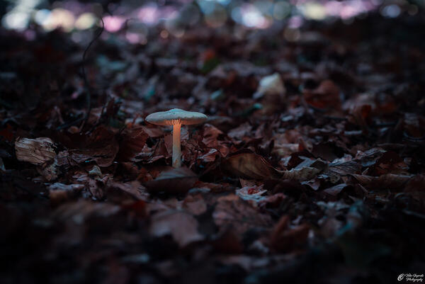
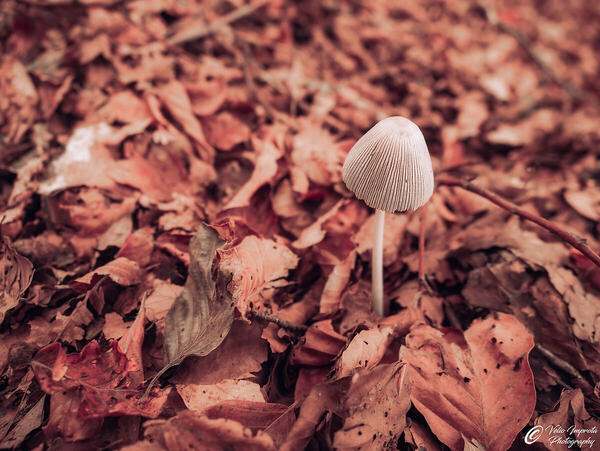
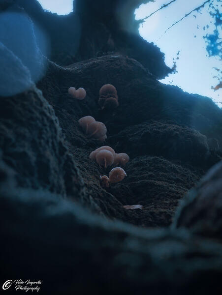
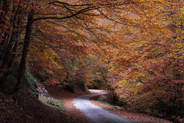
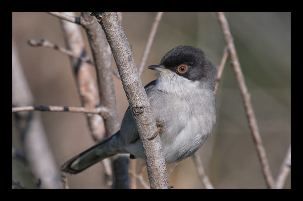
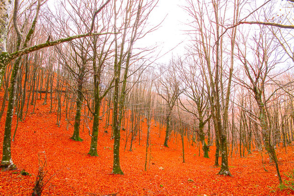
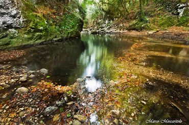
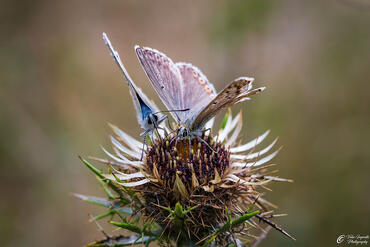
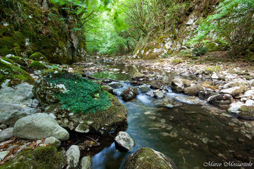
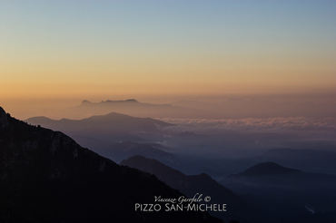
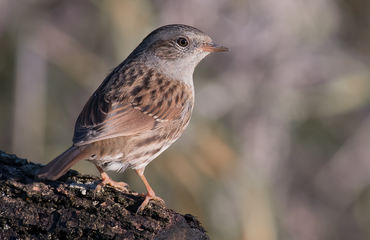
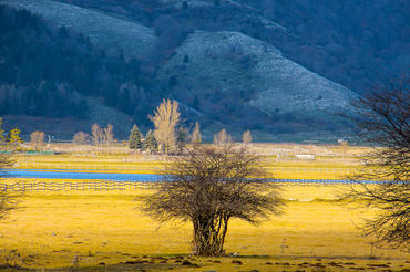
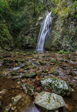
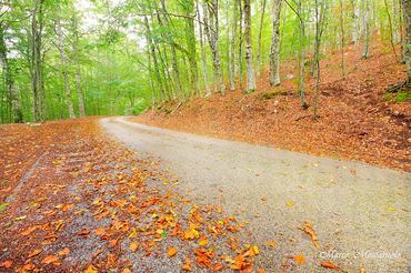
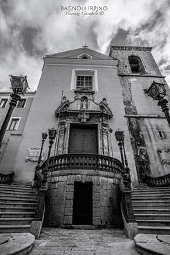
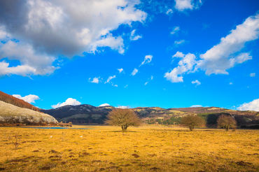
 The information about this location have been automatically translated with Microsoft Translator. The information about this location have been automatically translated with Microsoft Translator. Rank : 9.0 (average on 2 votes)Coordinates : 40.726322, 15.078983 ( Open in Google Maps) Subjects : Among the fauna is the wolf, fox, wild cat, wild boar, badger, marten, the tawny owl, the rock partridge, golden eagles, buzzards, black woodpeckers, peregrine falcons and salamander. Rich in forests of beech, oak, maple, alder, chestnut, retains an area of ??black pine.Recommended equipment : The heterogeneity of the territory, with rugged mountains, forests, meadows, lakes and rivers, but also historic towns, does not allow you to narrow down to a few types of targets the optical adoptable scene. Recommended, therefore, are both wide-angle lengths, which pushed telephoto lenses.Best months : In spring the glades of the summit are full of blooming flowers, the water-rich rivers and there is a discrete dynamic in nature in general. The winter period is often a lot of snow that make many quaint mountain villages, the famous Lake Laceno, then freezes and the crown of peaks surrounding it is particularly charming whitewashed (from the top of some mountains, also, you can admire the Gulf of Salerno, a few kilometers away). The summer you can get close to herds of cows Podolica, in grazing horses and sheep flocks. Also possible excursions in the caves, in some areas of the park, expanding underground. Autumn is a riot of color, with the forests that are colored in red, yellow and gold.How to get there : To reach the Regional Park Picentini you can depart both from the town of Avellino, which from that of Salerno. Being a regional park, not only has an entry point, but by each of the municipalities in it there are numerous tracks - passable pedonalmente or car. The park is spread over Picentini, limestone dolomite area between the provinces of Avellino and Salerno. The highest is the Cervialto (Bagnoli Irpino peak, 1,810 m), follow the Monte Terminio (Montella, 1,806 m), Monte Polveracchio (1,790 m), the Accellica (Montella, 1,660 m) and Mai (1606 m) . The park are part of the Natural Oasis Monte Polveracchio and the Natural Oasis Valley Hunt.Visits : The Regional Park Picentini is freely accessible. There is no entrance fee to buy. The use of the lift, in the resort Laceno (Bagnoli Irpino) provides for the payment of a ticket - no need to ascend along the footpaths.Notes : The municipalities that are included in the Picentini Regional Park are: Acerno, Bagnoli Irpino, Calabritto, Calvanico, Countryside, Caposele, Castelvetere sul Calore, Castiglione del Genovesi, Chiusano di San Domenico, Eboli, Fisciano, Giffoni Sei Casali, Giffoni Valle Piana , Lioni, Montecorvino Rovella, Montella, Montemarano, Montoro, Nusco, Olevano Romano, Oliveto Citra, San Cipriano Picentino, San Mango Piemonte, Saint Lucia di Serino, Santo Stefano del Sole, Senerchia, Serino, Solofra, Sorbo Serpico, Volturara Irpina . The Picentini Mountains are a mountain range of the Apennines of Campania. Move towards the Tyrrhenian Sea, located between the Lattari Mountains and the mountains of feverfew, the plateau Irpino and the Sele River Valley. The highest peaks are those of Monte Cervialto (1,810 m) and Mount Polveracchio (1,790 m above sea level) in the east, and Terminio (1,786 m asl), in the western part.
CalendarSunrise: 05:36, Sunset: 20:15 Show Sunrise and Sunset Calendar DiscussionNo replies Read the discussion Moon Phase🌒 Waxing Crescent, Brightness: 23% Show Moon Phases Calendar |
Nearby:  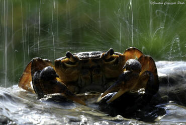 Oasi WWF Serre-Persano 15 km
 Solofra 23 km
 Oasi WWF Lago di Conza 25 km
 Conza della Campania 26 km
 Salerno 27 km
 Avellino 32 km
|


 JuzaPhoto contains affiliate links from Amazon and Ebay and JuzaPhoto earn a commission in case of purchase through affiliate links.

