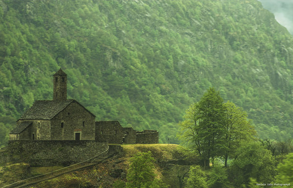
cover photo by
Maurizio Verdecchia
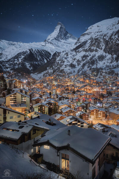
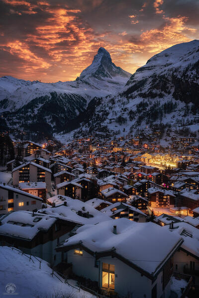
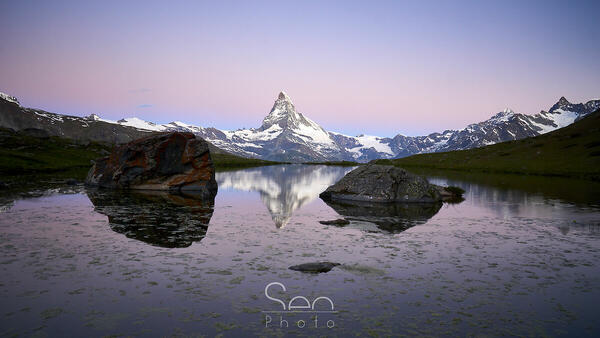
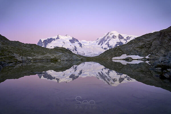
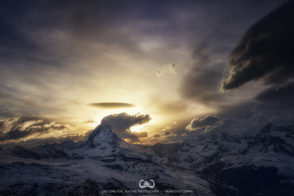
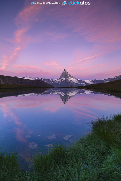
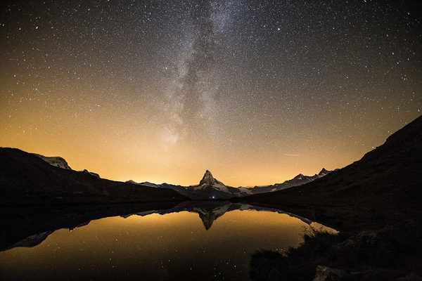
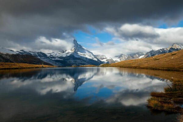
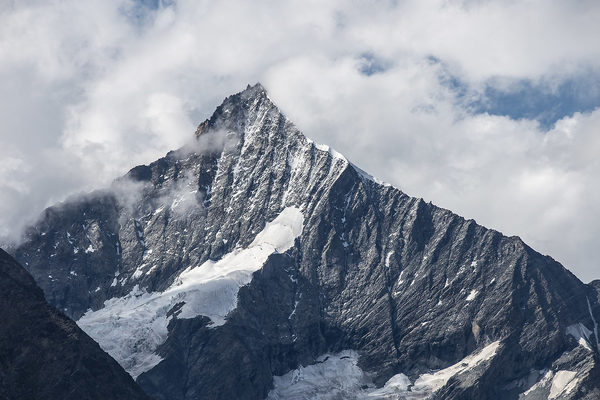
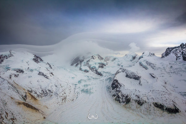
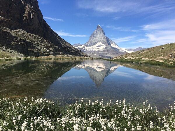
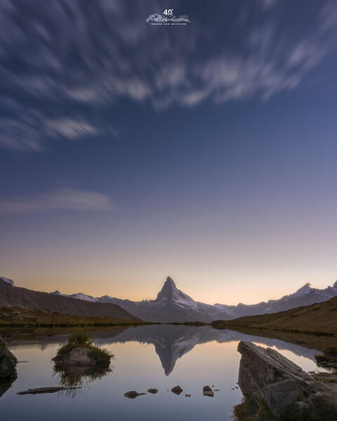
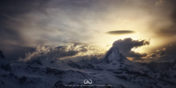
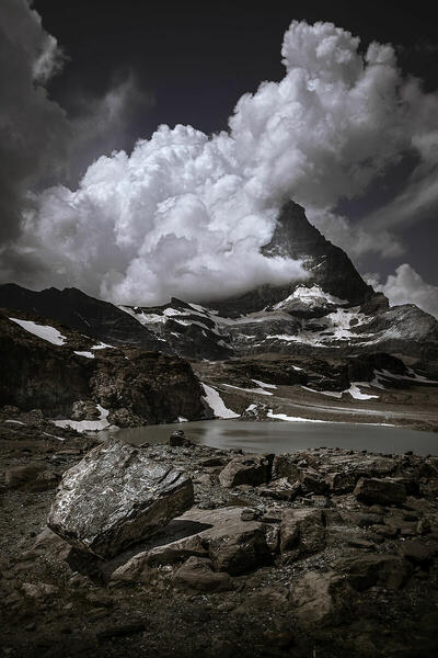
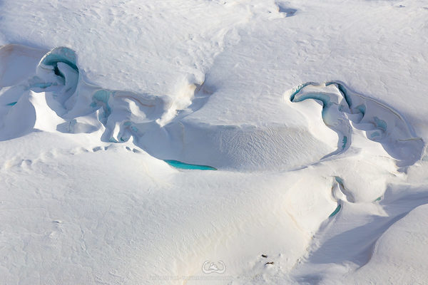
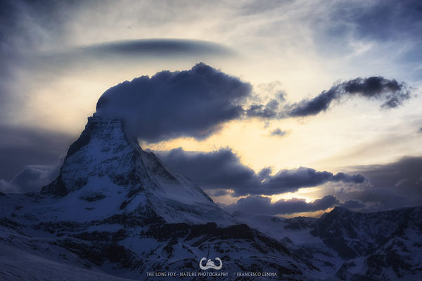
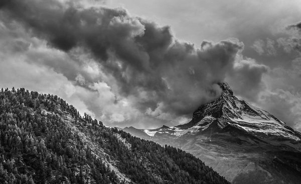
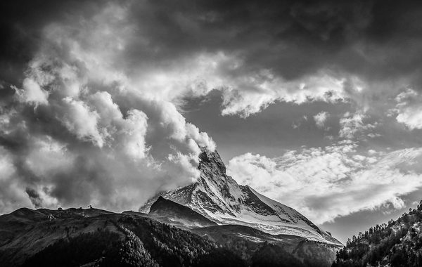
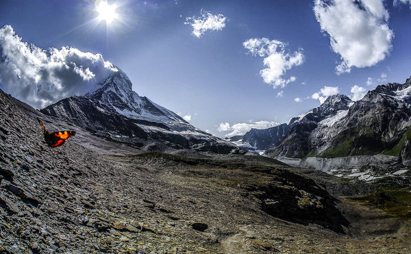
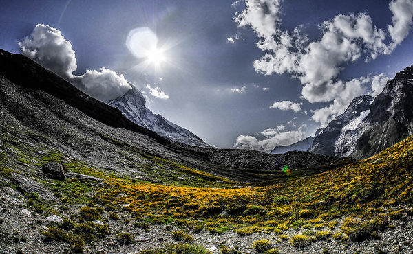
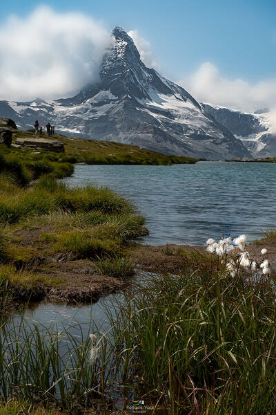
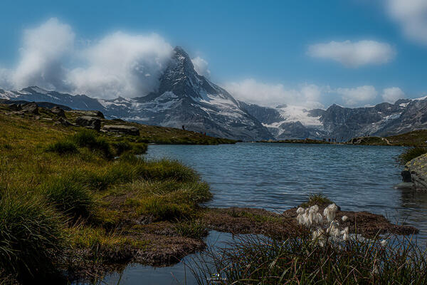
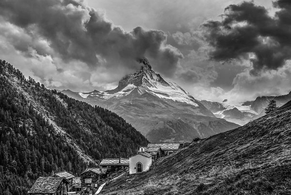
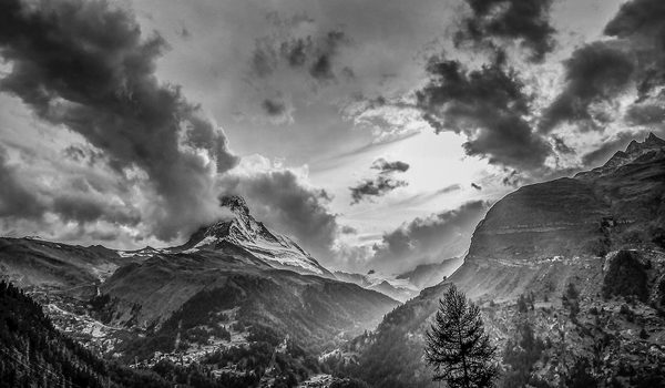
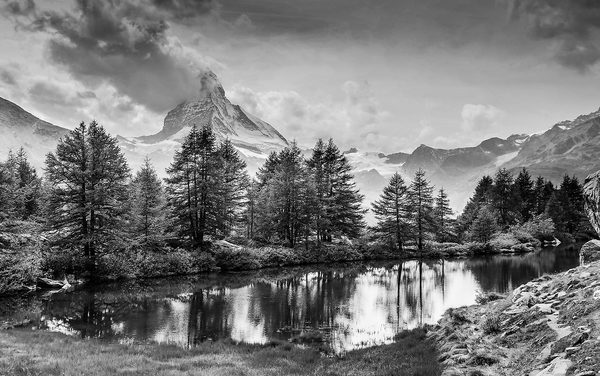
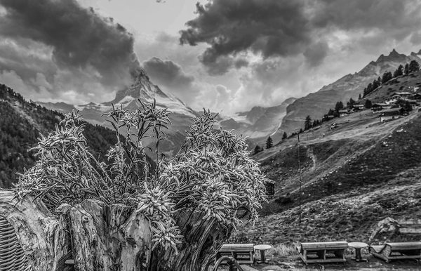
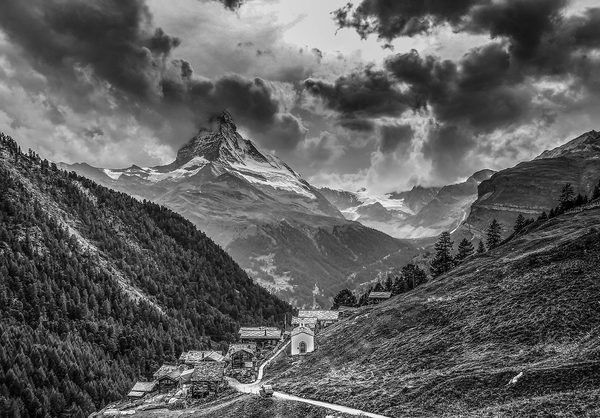
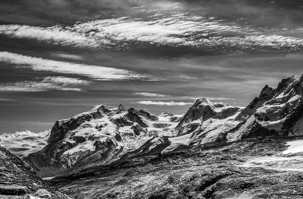
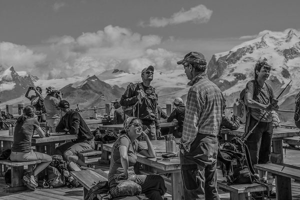
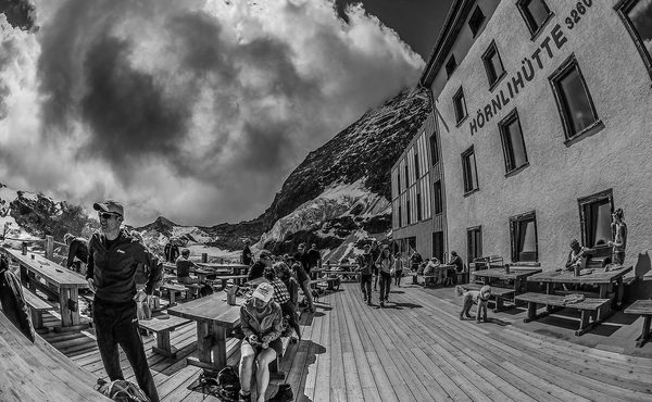
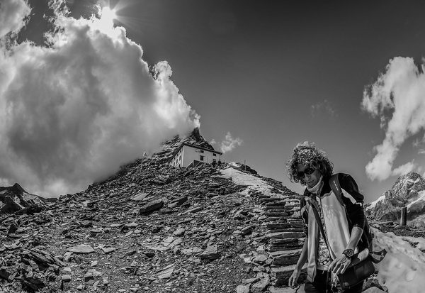
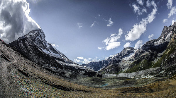
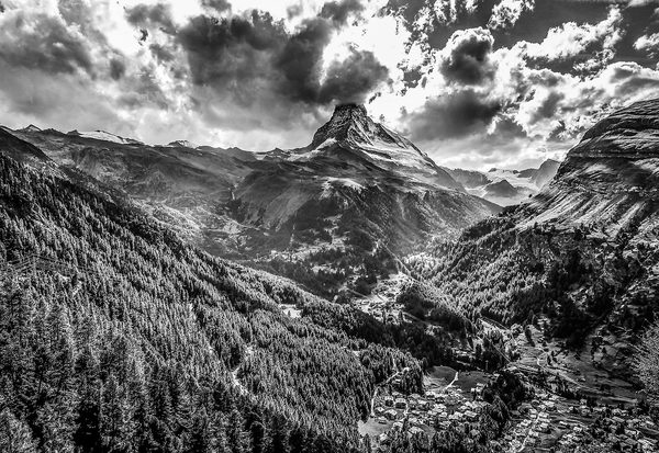
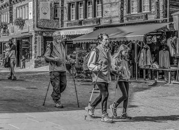
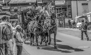
 The information about this location have been automatically translated with Microsoft Translator. The information about this location have been automatically translated with Microsoft Translator. Rank : 9.7 (average on 6 votes)Coordinates : 46.024899, 7.751599 ( Open in Google Maps) Subjects : Landscapes: mountainous area (above 4000 meters), Matterhorn, Zermatt Old Town, the cemetery of dead people on cervinoSe you want there is also the fauna and birdlife but I think in places like this is better to focus on the landscape. If you stay at high altitude in the evening (or out of the country)Recommended equipment : Gradangolo is a must, whether you want to take pictures inside the country (often the narrow streets do not allow you to have enough space to include the entire building), and for photos of landscapes itself. For those who want to take pictures at night is obviously also recommended a tripod. Sleeping outdoors (perhaps to portray the milky way as background) can be a great experience but you have to take into account that the country is already at a height of 1700 meters above sea level and is located on the valley floor. Temperatures reach 0 degrees at night without much trouble, and if you do not want to die of cold, watch the weather and take warm clothing is a must (do not mess with certain heights, you can also die). If you want to get to the glaciers we must also provide the necessary (crampons, etc.)Best months : All year long. Each season the valley changes appearance. Of course, since it is a tourist place, in winter there is more tourism although in summer it is very present. Note particularly the annual Patrouille des Glaciers (around June). Historic run military (but also open to civilians) in groups (perhaps the toughest in the world) started during the period of World War II. The race starts from Zermatt and ends in Verbier via Arolla for a total of 100 km through the mountains from a minimum of 1500 meters up to more than 3500 meters of altitude. Official website of the Confederation: http://www.he.admin.ch/internet/heer/de/home/themen/pdg.htmlHow to get there : Moving from Valais (CH) you can go up to Täsch where you are forced to take the train or a taxi with the permission of passage. Trains connecting to the rest of Zermatt Valais is called Glacier Express. In Zermatt (as also in Saas-Fee) it is barred from traveling with petrol cars. They created so curious vehicles whereby the Hotels pick up their customers at the station, the police and the ambulance were adequate. Only other option to get there is from Cervinia via the lifts connected, but forget about heavy bags.Visits : Matterhorn the most famous mountain in Europe. The view from Zermatt is the most famous and, in my view, the most beautiful. The rest of the alpine landscape of high mountain (lakes, glaciers, other mountains) is the backdrop to this magnificent soggetto.Nota of interest to the historical center of Zermatt with wooden buildings, typical of the area, with age of even 800 years.Notes : The currency is the Swiss Franc, and the local language is a variant of the Swiss German. They also speak the native German classic, French variant Swiss and English as a tourist place; I doubt they know the Italian, it's easier that they know Russian. Notes: Buongiorno says Grötzi. Be prepared to spend. To be in Swiss prices are not out of your mind, but the quality and the standard of living can be so high that spend very much (you can find rare wines on the slopes 1000 Fr. just to give an idea of ??the type of goods that turns). Not a holiday for everyone.
CalendarSunrise: 05:39, Sunset: 21:24 Show Sunrise and Sunset Calendar DiscussionNo replies Read the discussion Moon Phase🌔 Waxing Gibbous, Brightness: 73% Show Moon Phases Calendar |
Nearby:   Breithorn 9 km
 Capanna Regina Margherita 14 km
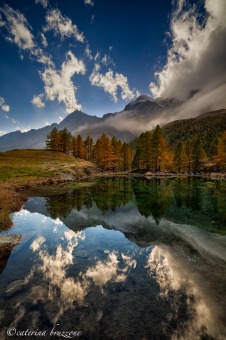 Lago Blu 14 km
 Parco Naturale Alta Valsesia 17 km
 Macugnaga 18 km
 Valtournenche 19 km
|

 JuzaPhoto contains affiliate links from Amazon and Ebay and JuzaPhoto earn a commission in case of purchase through affiliate links.