cover photo by
Enrico Parigi
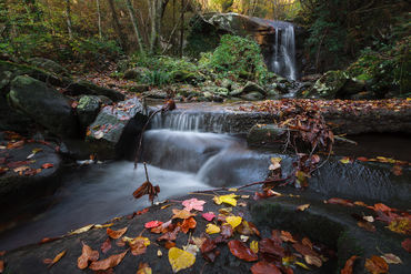
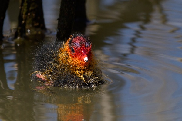
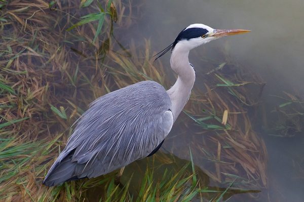
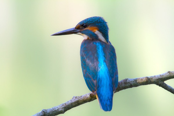
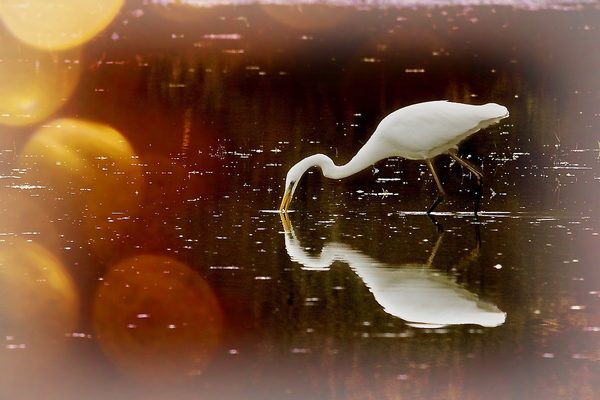
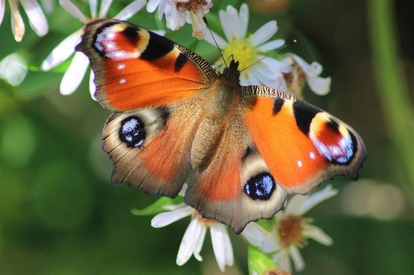
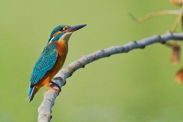
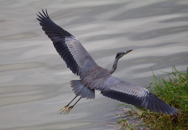
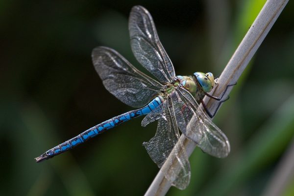
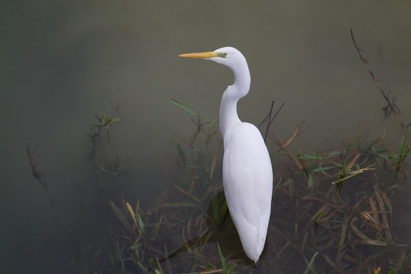
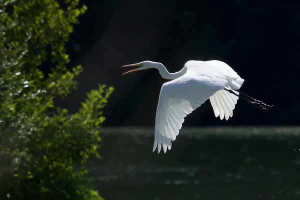
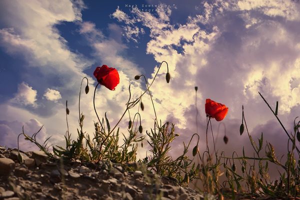
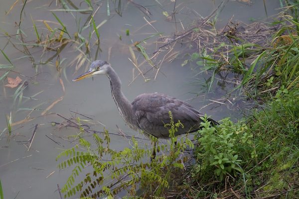
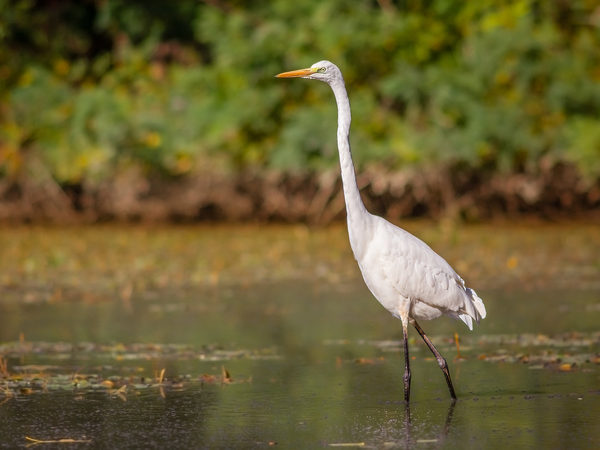
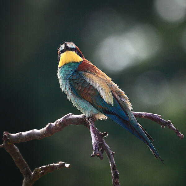
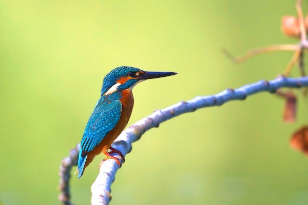
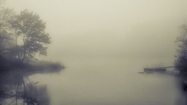
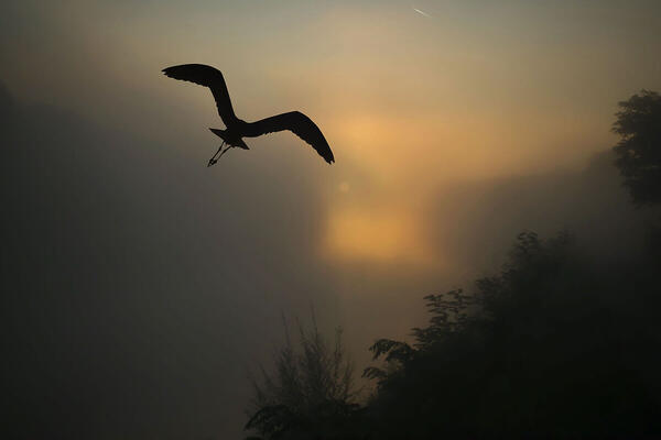
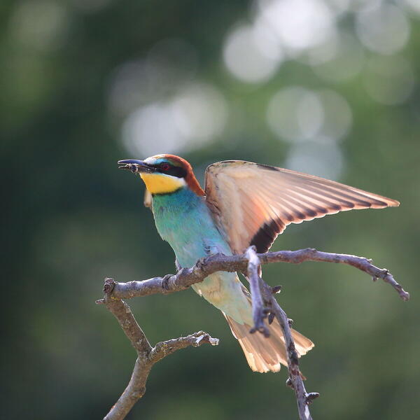
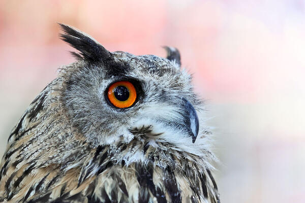
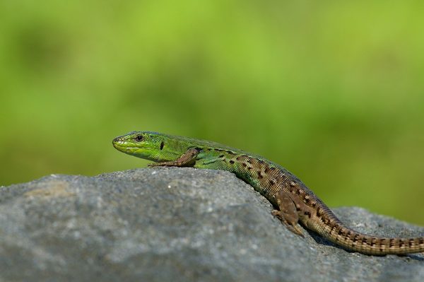
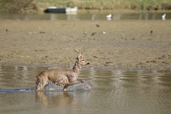
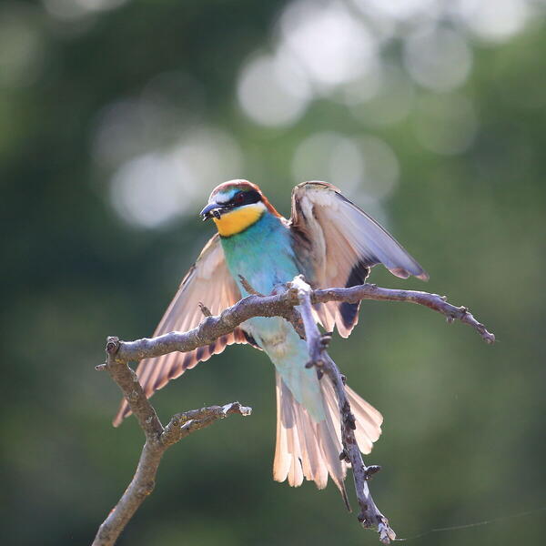
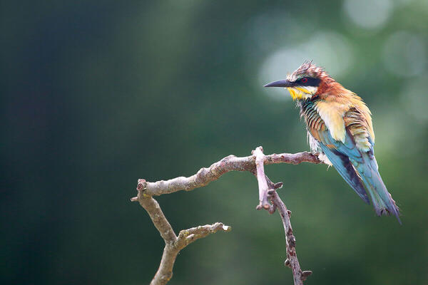
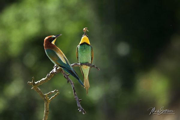
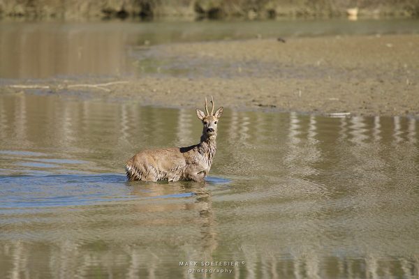
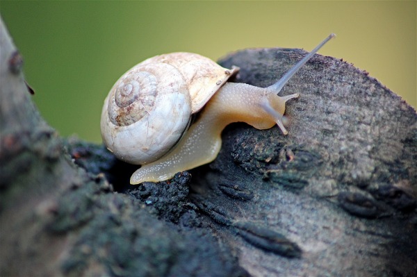
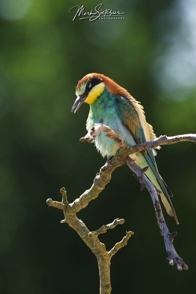
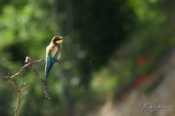
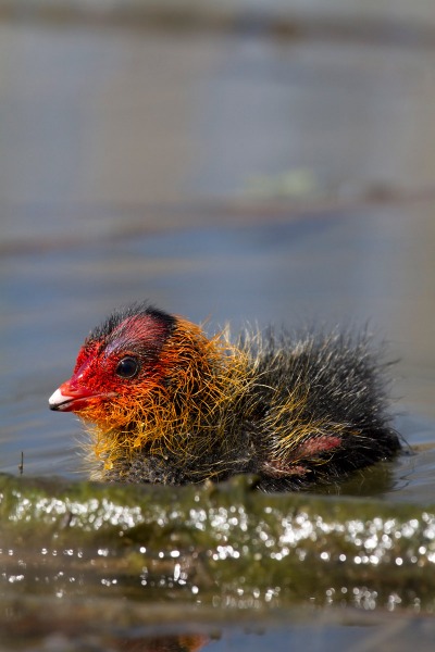
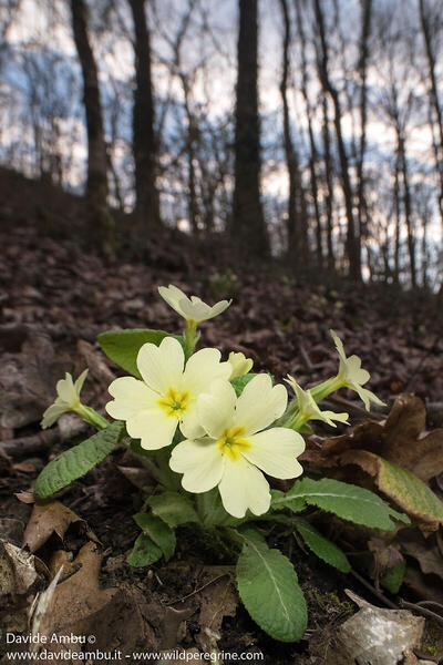
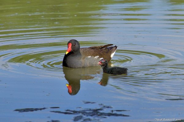
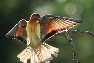
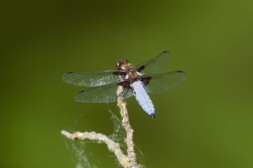
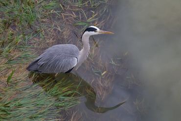
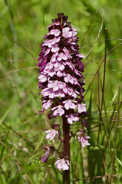
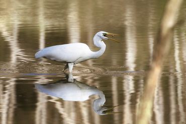
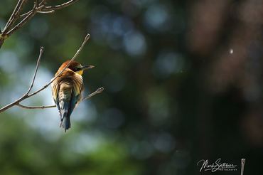
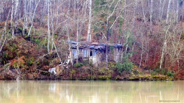
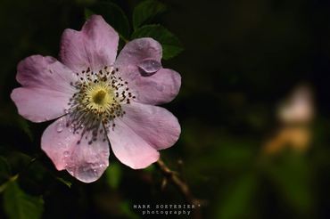
 The information about this location have been automatically translated with Microsoft Translator. The information about this location have been automatically translated with Microsoft Translator. Rank : 7.5 (average on 8 votes)Coordinates : 43.510079, 11.658392 ( Open in Google Maps) Subjects : The area is frequented by several species of water birds such as the gray heron, great egret, purple heron (in his time) the rider of Italy, the great crested grebe, the little grebe, coot, the martin fisherman and various ducks. Among birds of prey that frequent the area are the sparrow hawk, marsh harriers, buzzards, kestrels and rare sightings of osprey. Abundant also various passerines (greenfinch, goldfinch, Hawfinch, reed bunting, etc..) And green woodpecker. In the area there are 5 species of amphibians: the crested newt, the newt, the Italian tree frog, the toad and the green frog in the pond located in the path of the wetland.Recommended equipment : 300mm for birds (600 mm highly recommended), recommended a macro lens in the spring and summer as there are many species of plants and flowers colored with their micro inhabitants.Best months : All year round there are photo opportunities, but the best times are spring and autumn.How to get there : By car It 'better to reach Monticello, home of the Visitor Centre Nature Reserve, from which branch most of the routes. From Florence the exit is "Valdarno" of the A1 and take the SP 11 "Long Arno" in the direction of Arezzo; arrived to Acqua Borra, before the bridge over the Arno, turn left and follow the signs to the Visitor Center. Coming from Arezzo you take the S.R. 69 towards Montevarchi, and reached the village of Levane, turn right towards Terranuova Bracciolini (SP 11), just past the bridge on the need to turn right and follow the signs to the Visitor Center. Alternatively, also from Arezzo, you can reach Pian di Chena, taking the SP 1 "Setteponti" towards Castiglion Fibocchi, passing Laterina and follow the signs to Montalto, just before the Ponte Romito take the road to the right until you reach the Pian di Chena, where, near the restaurant, you can take some paths visit. Others who prefer public transport to reach the nature reserve by public transport can take advantage of the suburban lines of the Company Lazzi and Fabbri, linking Arezzo to Montevarchi moving from SP 1 "Setteponti" (via Castiglion Fibocchi-Laterina), using stops in Ponte Romito. By train, the nearest railway station is that of Montalto (Laterina Scalo). The public transport lines SITA link instead Arezzo and Florence along the SR 69 and have a stop at Montalto.Visits : free admission all yearNotes : The main feature is the vast expanse of water (3.4 million cubic meters) of the dam ENEL near Levane. Dal Ponte Romito to the dam ENEL, the Arno river has eroded to a depth of several tens of meters of the lake sediments from different geological periods and in some places, such as near the Castellare, the river flows in a bed built into the rock. The vegetation consists of vast wooded areas (mostly turkey oak) located in the slopes directly exposed towards the reservoir and small areas occupied by shrubs and crops. Along the banks and in the numerous "gullies" are arboreal riparian formations dominated by willows and poplars and degraded riparian formations with black locust. Bend in Bandella are interesting formations marsh. The Paths of the Reserve: From Center Visit extend two paths. The path A (2.3 km, 45 min.) Provides access to the Ansa Bandella and continue through forests and farmland, to the Pian of Chena. The path B (4 km; 1.15 h) dell'Ascione through the valley and along scenic hillsides, along the loop of reaching the hoop huts sighting here prepared. The beginning of the third route, preparation (path C 2 km, 45 min.) Can be reached from Pian di Chena, where, along the river Arno Ascione up, joins the path A. In "Acqua Borra" at the western end of the Reserve, originates and ends, depending on the direction of travel, the path of the Great Excursion Arno (GERDA), that touching the hoop and Ponte Romito, continues until the reserve Natural Bridge Buriano and Penna. The GERDA through all the points and areas of interest places on this side of the river and the lake, crossing also spectacular places like the walls steeper carved by water over thousands of years. The stretch of GERDA affecting the Reserve is 7.8 km long and it takes about 3 hours. The facilities also include a visit to a botanical garden hoop, which houses the main plant species that can be traced in this area and the Green Room of Castiglioncello, ideal places to explore with the students the issues of biodiversity conservation and of nature conservation. Access to the huts of sight (must equip themselves to shed unnecessary mobile), the botanical gardens and the Chamber of green Castiglioncello is allowed only with guided tours. At the Monticello Visitor Center is open on weekends in spring and autumn, you can find information and material about the routes, accessibility, guided tours, boat trips, visits to the premises of hydroelectric Levane, the environmental education activities. The Visitors Center offers a wide documentation on the ecology of the main systems of the Nature Reserve: the wetland, streams and forests. The Centre also has a classroom equipped with a small library and a projection angle and conventions. You can ask for information to the Official Guides, the Province of Arezzo and the Information Office of the City of Pergine to Montalto.
CalendarSunrise: 05:32, Sunset: 20:57 Show Sunrise and Sunset Calendar Discussion10 replies Read the discussion Moon Phase🌓 First Quarter, Brightness: 40% Show Moon Phases Calendar |
Nearby:  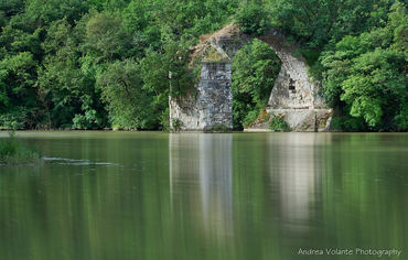 Ponte Romito 1 km
 Castiglion Fibocchi 8 km
 Massiccio del Pratomagno 15 km
 Garzaia di Figline Valdarno 16 km
 Giovi d'Arezzo 16 km
 Arezzo 18 km
|


 JuzaPhoto contains affiliate links from Amazon and Ebay and JuzaPhoto earn a commission in case of purchase through affiliate links.