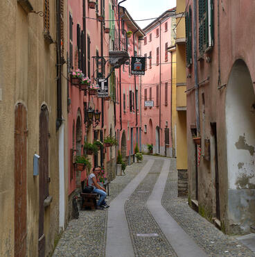
cover photo by
Lucapucci
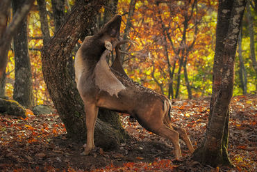
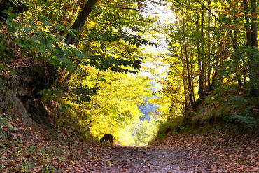
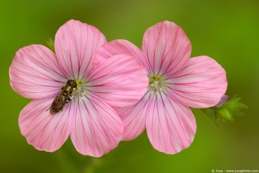
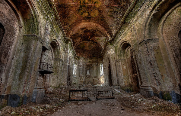
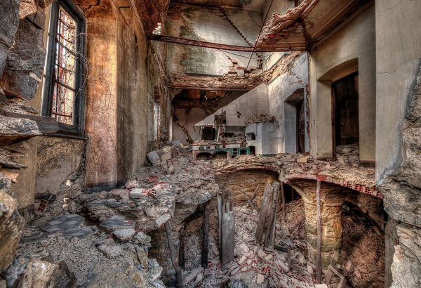
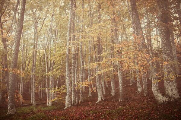
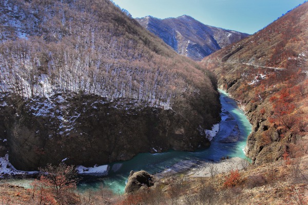
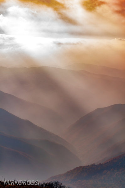
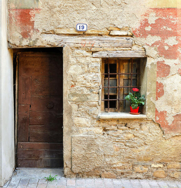
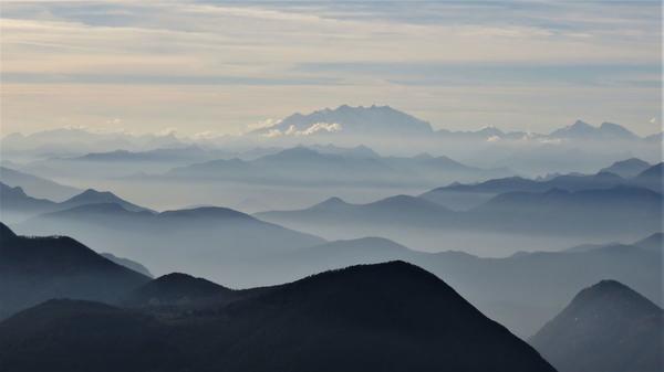
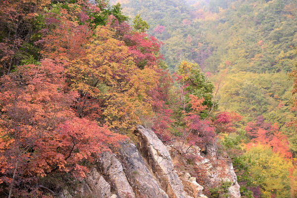
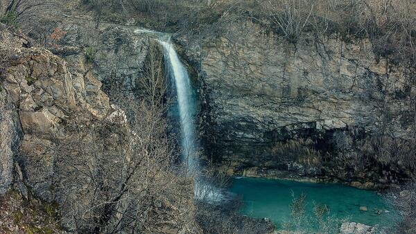
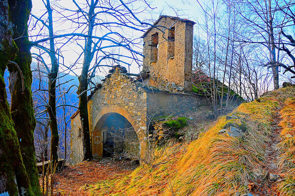
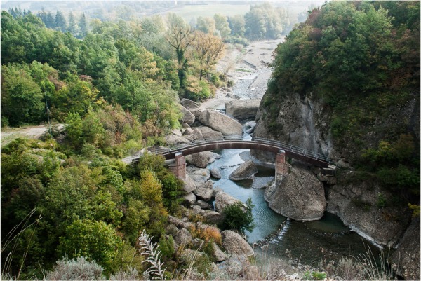
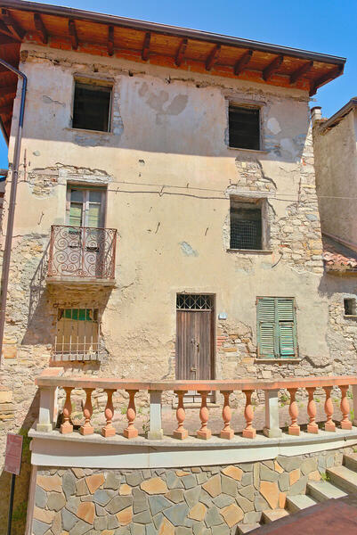
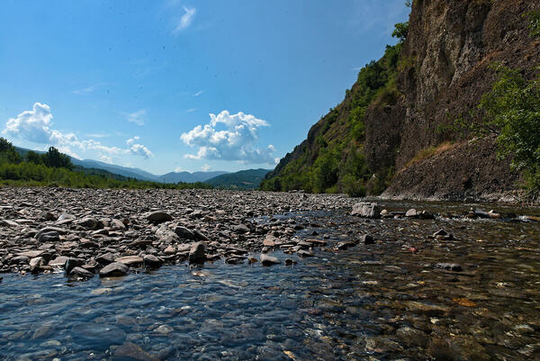
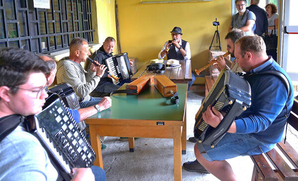
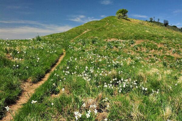
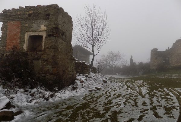
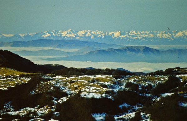
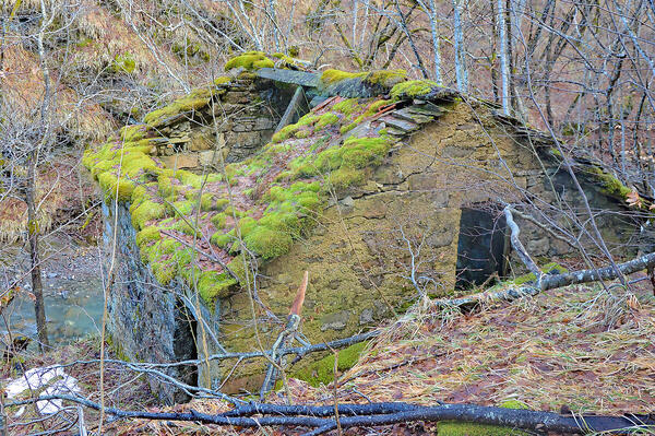
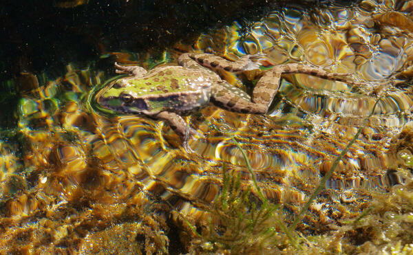
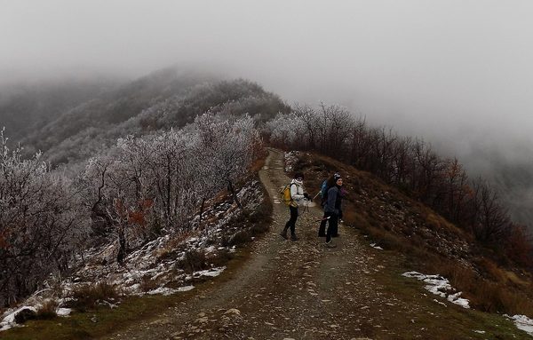
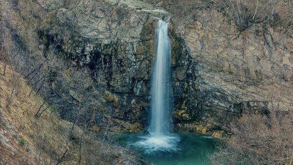
 The information about this location have been automatically translated with Microsoft Translator. The information about this location have been automatically translated with Microsoft Translator. Rank : 10.0 (average on 1 votes)Coordinates : 44.673751, 9.095760 ( Open in Google Maps) Subjects : Nature, animals, ungulates, birds, streams, waterfalls, villages, stone houses, abandoned villages, chestnut groves, mushrooms, truffles, cheeses, wines, festivals, trees, flowers, horses, cows, goats, churches, chapelsRecommended equipment : Generalist equipment, with optics ranging from wide angle for those who want to make landscapes, both of the valley floor and of views from the Apennine peaks just under two thousand metersBest months : Each period of the year offers specific reasons for interest even if the season that goes from spring to autumn concretely offers more possibilities both for nature and nature photos, both for photographic trekking, and for street photography which has more opportunities for parties, festivals, concerts, exhibitions, events etcHow to get there : The shortest way is to exit the A7 at Arquata Scrivia and take the Borbera valley directly right at the motorway exit. alternatives include the Tortona motorway exit and the continuation along the provincial road of the Curone valley up to San Sebastiano Curone, then through the Dernice pass to get off at Pertuso, which is located about halfway through the Borbera valleyVisits : The valley is almost free everywhere, except for the private areas but even those, on some occasions are made visitable. Certain museums and botanical gardens are subject to timetables and payments. Notes :
CalendarSunrise: 05:39, Sunset: 21:13 Show Sunrise and Sunset Calendar DiscussionNo replies Read the discussion Moon Phase🌔 Waxing Gibbous, Brightness: 77% Show Moon Phases Calendar |
Nearby:  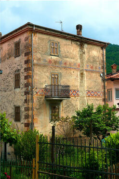 Cabella Ligure 3 km
 Parco dell'Antola 9 km
 Dernice 10 km
 Cima Colletta 14 km
 Garbagna 14 km
 Val Boreca 14 km
|


 JuzaPhoto contains affiliate links from Amazon and Ebay and JuzaPhoto earn a commission in case of purchase through affiliate links.