cover photo by
Lucandro_daddy
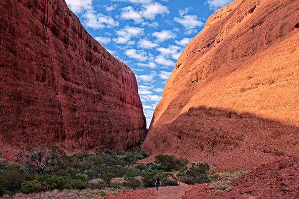
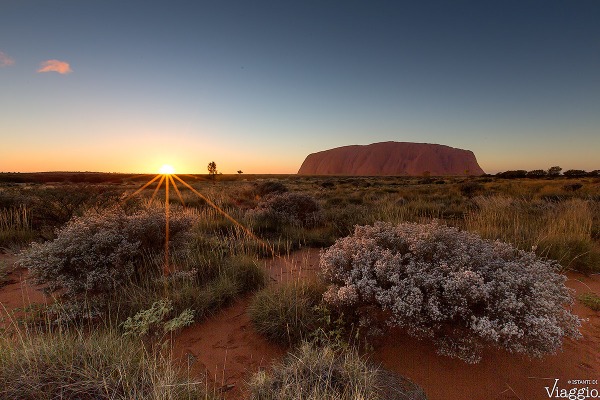
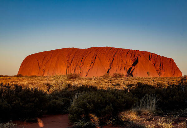
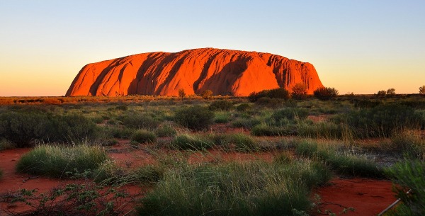
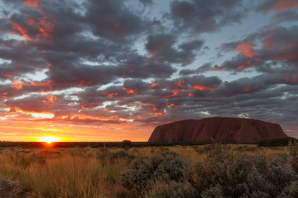
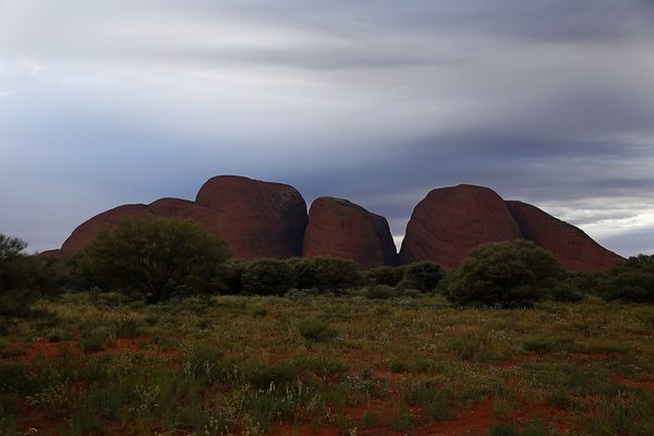
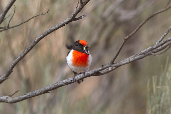
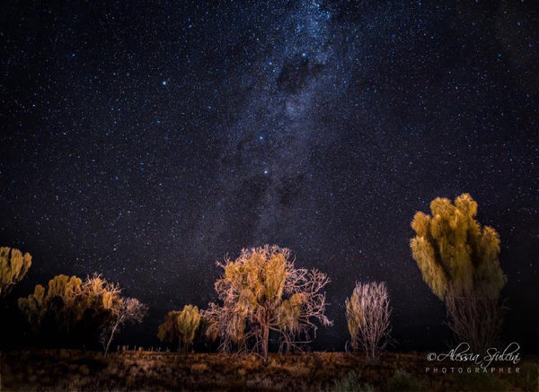
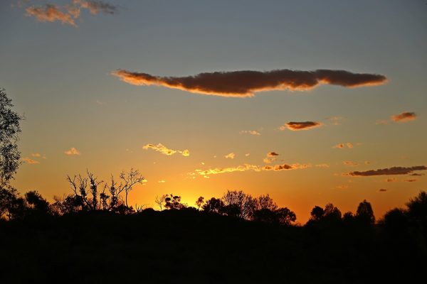
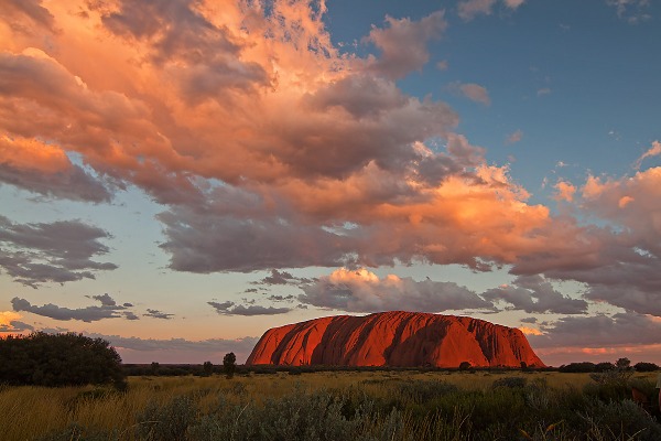
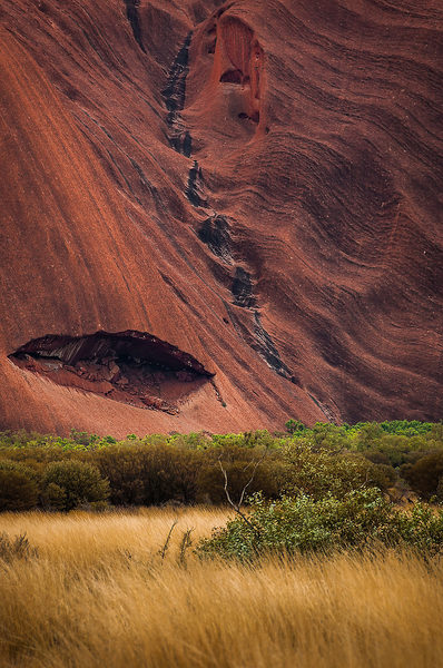
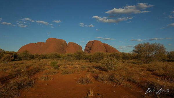
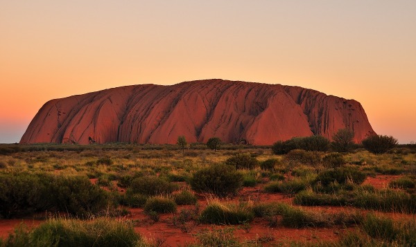
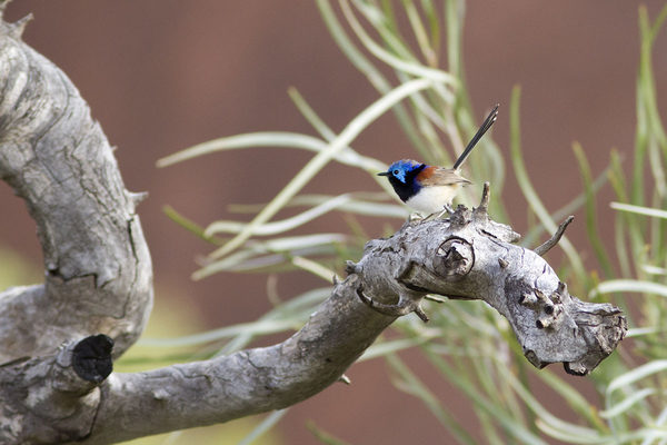
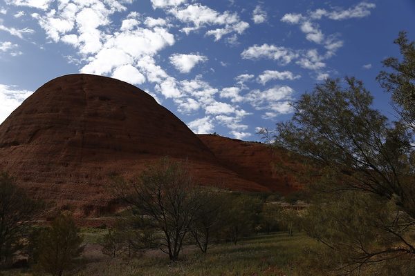
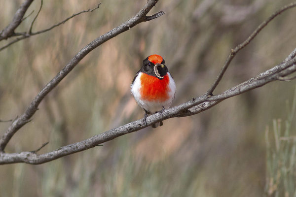
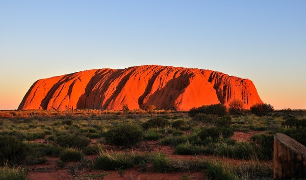
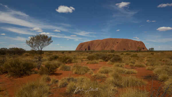
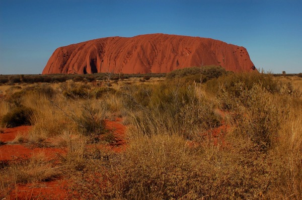
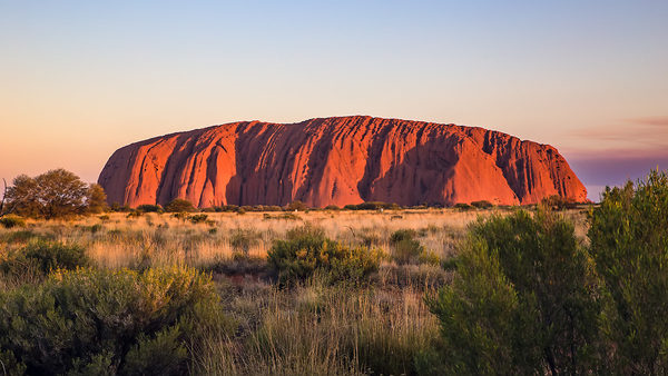
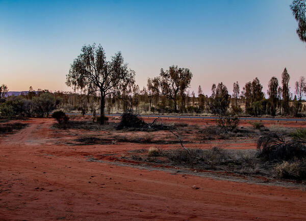
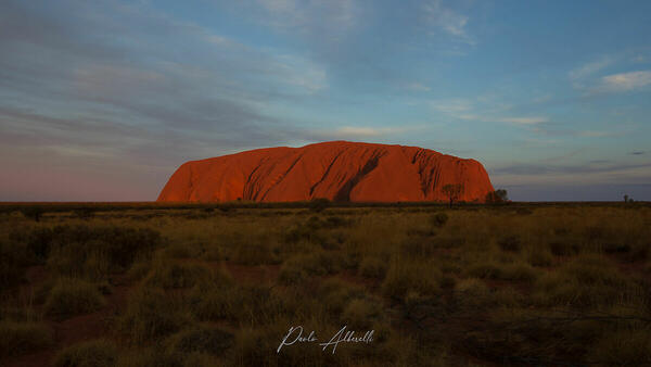
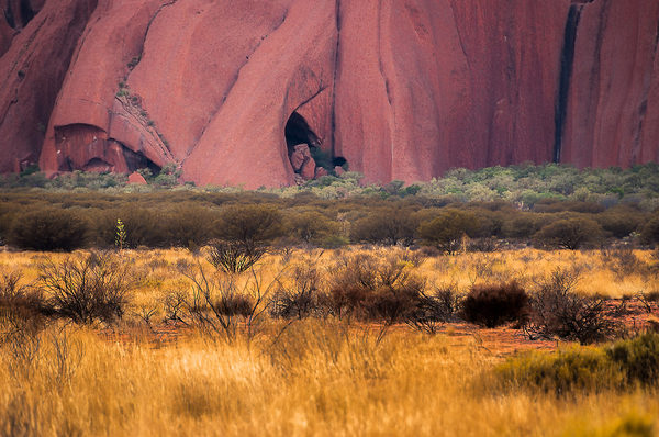
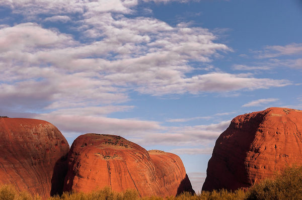
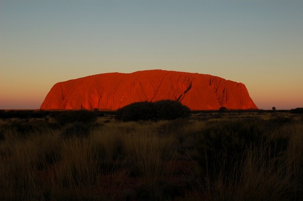
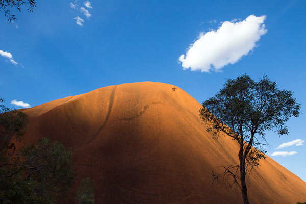
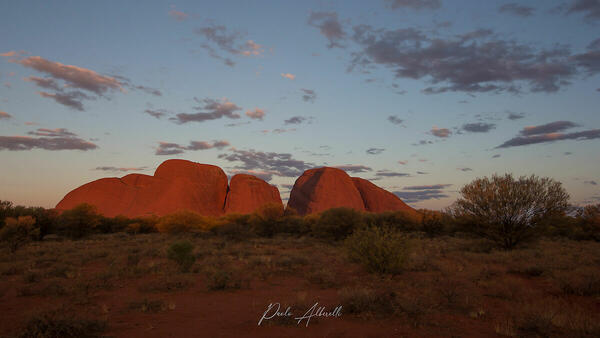
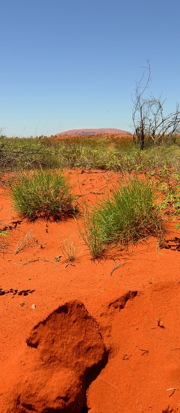
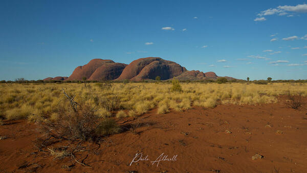
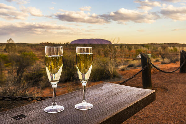
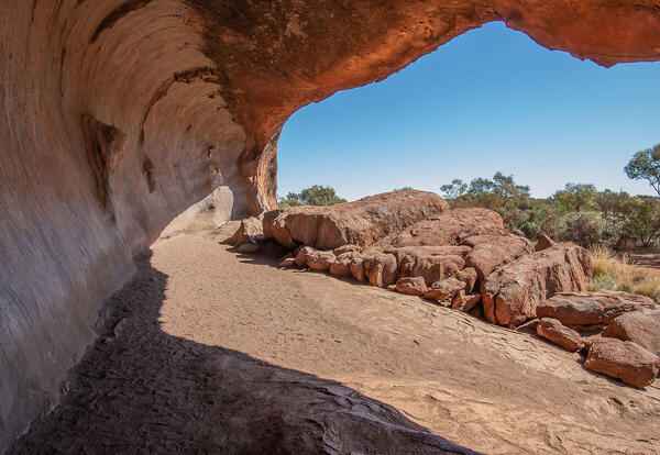
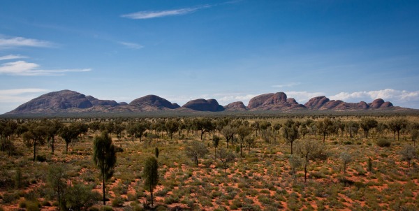
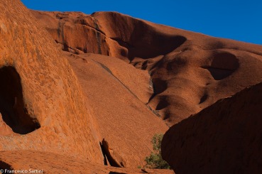
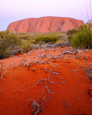
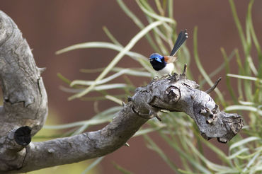
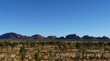
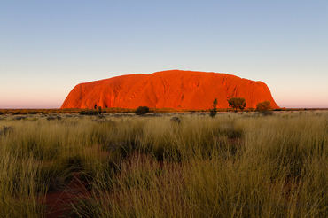
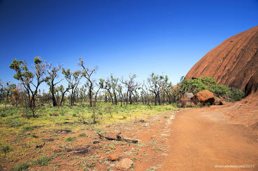
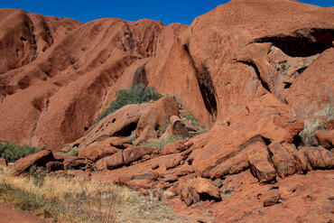
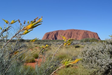
 The information about this location have been automatically translated with Microsoft Translator. The information about this location have been automatically translated with Microsoft Translator. Rank : 9.2 (average on 6 votes)Coordinates : -25.359539, 131.000633 ( Open in Google Maps) Subjects : - Uluru (Ayers Rock) - Kata Tjuta (The Olgas) Mainly geological formations, Landmarks / Points of Interest, National Parks, wildlife (reptiles and insects). Place of strong cultural and spiritual. It is a sacred place for the Aboriginal people. And 'required respect for tradition and is forbidden to photograph or film a few places regularly reported.Recommended equipment : I would say that from wide angle to short telephoto everything is good. Strongly recommended to use a good tripod for the inevitable and famous sunsets and sunrises. If hikers are advised not heavy equipment and a good backpack with two shoulder. If you are coming from the south along the Stuart Highway to take into account the hundreds of miles of travel on unpaved track. Would highly recommend 4x4.Best months : Throughout the year but is not recommended because of the austral summer temperatures can reach 50 ° C. I suggest the intervening months (May-July Italians), especially if you like long walks and want to enjoy the countless and truly fascinating tracks and trails. The park offers numerous trails all quite simple or at least of moderate difficulty.How to get there : The Uluru-Kata Tjuta National Park is located in Australia (Oceania) in the Northern Territory, 450 km southwest of the town of Alice Springs. In the vicinity of the park, near the town of Yulara, Ayers Rock Connellan is available Airport, airport in "national" small but well equipped and comfortable. If you love long car trips you can get from the north (Alice Springs - 450 km) or south (Coober Pedy - 785km) along the Lasseter High Way and coming from Stuart HighWay, through an endless dirt road with unique charm and unrivaled .Visits : Access to the park is strictly regulated. The entrance is guarded and visitors are required to show the pass at every entrance. E 'need to pay a toll, whose price is linked to the duration of the stay. On the site there are all the information to organize various excursions and best prepare before reaching the location. I highly recommend you book in advance. All tours and paths are fully described in the website and in the brochure buck, as well as available in the information center at the base of the monolith (also available in Italian language).Notes : Uluru-Kata Tjuta National Park is located in the Northern Territory of Australia, 1,431 kilometers south of the city of Darwin. The park covers an area of ??1,326 km ² and includes of course the famous geological formations that give it the name: Uluru / Ayers Rock and Kata Tjuta / Mount Olga, the first a monolith of red granite and the second a "dome" rock in the middle of the plain of central Australia. In the park there are an average 307.7 mm of rain a year, while the nature of the desert landscape means that the temperatures are extreme: 45 degrees in summer and -5 in winter. Uluru, a sacred place for Aboriginal Australians, was formally handed back to indigenous peoples in 1985, in fact, the traditional owners of this land are the Anangu Aboriginal people, and today the park is jointly managed by the Australian Government and the Aboriginal people. In 1977 the park was declared a biosphere reserve. In 1987, the Uluru-Kata Tjuta National Park has been listed as a UNESCO World Heritage Site.
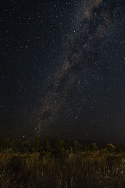
CalendarSunrise: 07:25, Sunset: 18:03 Show Sunrise and Sunset Calendar Discussion2 replies Read the discussion Moon Phase🌖 Waning Gibbous, Brightness: 81% Show Moon Phases Calendar |
Nearby:  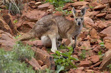 Watarrka National Park 136 km
 The Breakaways Reserve 533 km
 Nullarbor National Park 695 km
 Sharks Cage diving, Port Lincoln 1143 km
 Kangaroo Island 1329 km
 Kakadu National Park 1407 km
|


 JuzaPhoto contains affiliate links from Amazon and Ebay and JuzaPhoto earn a commission in case of purchase through affiliate links.

