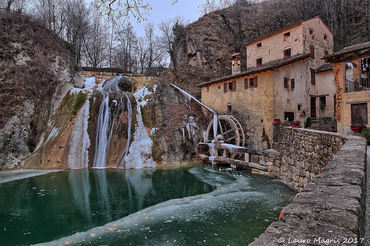
cover photo by
Morello
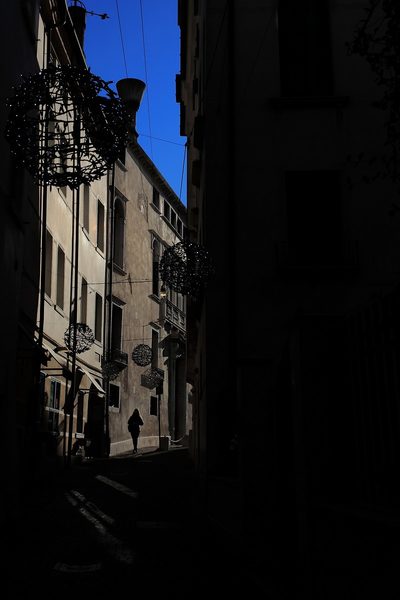
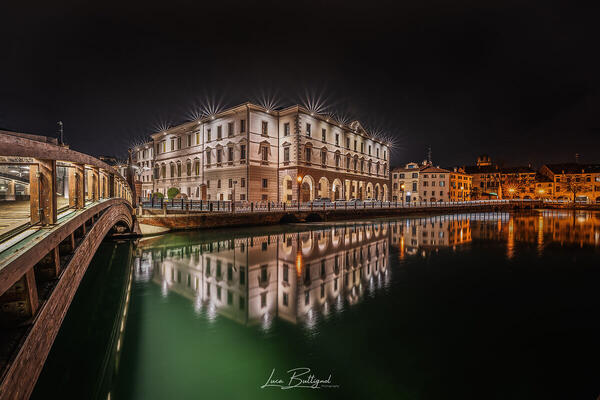
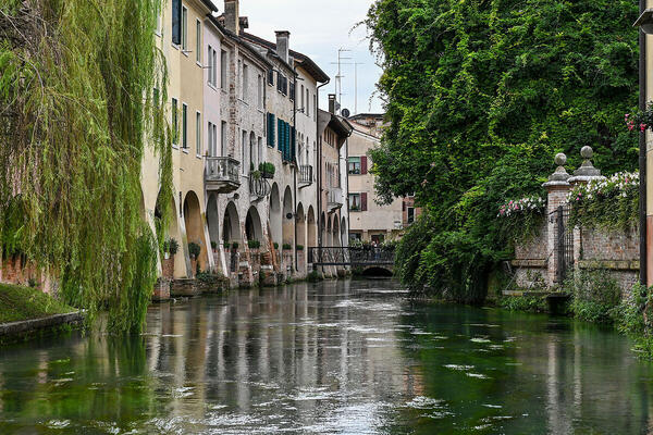
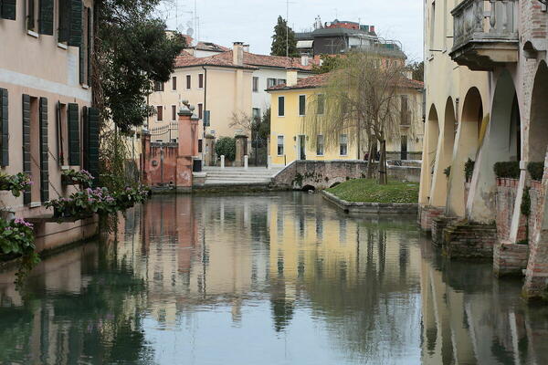
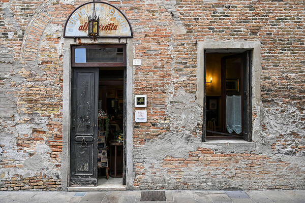
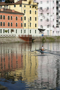
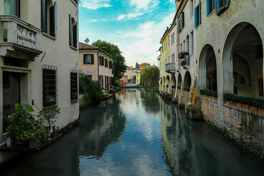
 The information about this location have been automatically translated with Microsoft Translator. The information about this location have been automatically translated with Microsoft Translator. Rank : 7.7 (average on 9 votes)Coordinates : 45.667655, 12.242969 ( Open in Google Maps) Subjects : Duomo, Baptistery, Piazza dei Signori, Sottoportico Buranelli, Piazza San Vito, Roman Mosaic, Fish, Corte San Parisio, lanes of the city, high-medieval walls, Mura low-medieval, Island of the goats, Roman Fountain (tits) Piazza San Leonardo, St. Catherine, the Latin Quarter, Towpath of the Sile, Dante Bridge, Palazzo Dei fourteenth century.Recommended equipment : No special equipment, Treviso offers so many possibilities that it is difficult to identify a specific set. Surely tripod (or monopod if you want to shoot inside the churches). The architectural structures also lend themselves well to a creative use of a fisheye lens.Best months : In winter, the lights of the houses and shops give a very special light to the city which is characterized in the reflections of marble and stone houses. During spring instead the city is filled with colors and you have the chance to see the wonderful views. To avoid the summer as the city becomes flat and do not offer much to photograph, even counting the fact that for the structure itself, the temperatures are unbearable.How to get there : From the A27 exit Treviso Sud and then follow the signs for the center which is a few kilometers. By Train: The station is located at the edge of the city center within walking distance in 2 minutes. Plane: "Canova", at the exit there are shuttles that can easily reach the center.Visits : Admission is free. To be avoided at night Stazione Courier / FSNotes :
CalendarSunrise: 05:27, Sunset: 20:49 Show Sunrise and Sunset Calendar DiscussionNo replies Read the discussion Moon Phase🌔 Waxing Gibbous, Brightness: 90% Show Moon Phases Calendar |
Nearby:  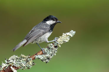 Parco dello Storga 3 km
 Cimitero Dei Burci 4 km
 Casier (Fiume Sile) 5 km
 Oasi Naturalistica di Cervara 9 km
 Oasi Cave di Gaggio 13 km
 Cave di Marocco 14 km
|


 JuzaPhoto contains affiliate links from Amazon and Ebay and JuzaPhoto earn a commission in case of purchase through affiliate links.

