RCE Foto

(i) On JuzaPhoto, please disable adblockers (let's see why!)


Login LogoutJoin JuzaPhoto!
JuzaPhoto uses technical cookies and third-part cookies to provide the service and to make possible login, choice of background color and other settings (click here for more info).

By continuing to browse the site you confirm that you have read your options regarding cookies and that you have read and accepted the Terms of service and Privacy.


OK, I confirm


You can change in every moment your cookies preferences from the page Cookie Preferences, that can be reached from every page of the website with the link that you find at the bottom of the page; you can also set your preferences directly here

Accept CookiesCustomizeRefuse Cookies

Sentiero del Tracciolino, Italy


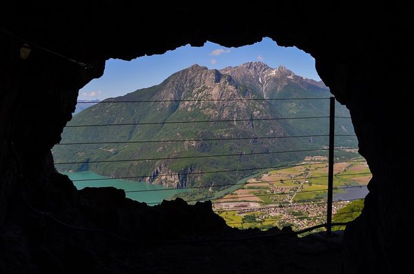
cover photo by Il Vime  


Location added by Rd54


 The information about this location have been automatically translated with Microsoft Translator.

Rank : 8.0 (average on 2 votes)

If you know this place, give your vote:  

Coordinates : 46.202744, 9.472513 (Open in Google Maps)

Subjects : The path develops on the floor and is marked by the rails of a narrow gauge railway in disuse. It is possible to photograph the landscape (Lago di Lecco and Novate) the village of S. Giorgio. In addition, the attraction is the same path with overhangs (well protected) and galleries. The possibilities of shooting are therefore many including of course children who have a great fun.

Recommended equipment : Zoom wide-angle 16-35 or 24-70. Torch to illuminate some galleries. No Tripod Since the trail is tight and the passage must be obviously free.

Best months : Spring-summer-autumn. If possible avoid the summer Sundays for large influx of tourists. It is possible in fact that on Sundays of great influx you have to park on the road even a KM of Distanda from the start of the path and then make it on foot uphill.

How to get there : By car to Verceia on the S.S. 36 of Spluga. You need a five-euro ticket to go up with the car until the start of the track. Check on the various sites where to buy the ticket. Once you arrive by car at altitude, the trail is pretty much all on the floor. I advise against leaving the car at the start of the cantonal road (in Verceia or novate Mezzola) as indicated on some sites. It lengthens the walking path unnecessarily.

Visits : You need a five-euro ticket to go up with the car until the start of the track. The rest is free.

Notes : Bring water-tight shoes and a torch or mobile phone well-charged because some galleries of the route are completely in the dark and with puddles. Ideal for children aged 5/6 years and up. NO Stroller!!


Calendar

Sunrise: 06:26, Sunset: 20:15

Show Sunrise and Sunset Calendar
Discussion

No replies

Read the discussion
Moon Phase

🌔 Waxing Gibbous, Brightness: 84%

Show Moon Phases Calendar
Nearby:

Destinazione
Riserva naturale Pian di Spagna e Lago di Mezzola
4 km
Destinazione
Forte Montecchio Nord
10 km
Destinazione
Foresta dei Bagni di Masino
11 km
Destinazione
Riserva Naturale Val di Mello
13 km
Destinazione
Gravedona
14 km
Destinazione
Cascate dell'Acquafraggia
15 km


Photos taken at Sentiero del Tracciolino


Sort by popularitySort by date

Foto
Tracciolino of Val Codera
by Il Vime
2 comments, 1680 views  [retina]
Foto
Panorama from the path of Tracciolino
by Chiara_Briccola
3 comments, 677 views
Foto
Panorama from the path of Tracciolino
by Chiara_Briccola
1 comments, 884 views
Foto
Panorama from the path of Tracciolino
by Chiara_Briccola
1 comments, 462 views
Foto
View from the path of Tracciolino
by Chiara_Briccola
1 comments, 451 views


More » Locations » Italy » Sentiero del Tracciolino


 ^

JuzaPhoto contains affiliate links from Amazon and Ebay and JuzaPhoto earn a commission in case of purchase through affiliate links.

Mobile Version - juza.ea@gmail.com - Terms of use and Privacy - Cookie Preferences - P. IVA 01501900334 - REA 167997- PEC juzaphoto@pec.it

May Beauty Be Everywhere Around Me