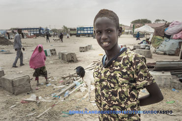
cover photo by
Fedebobo
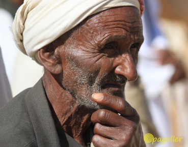
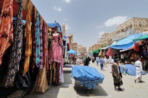
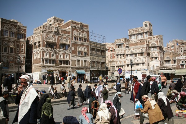
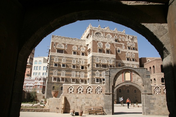
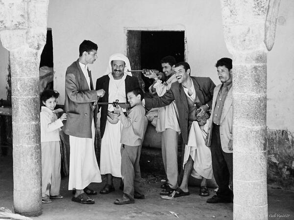
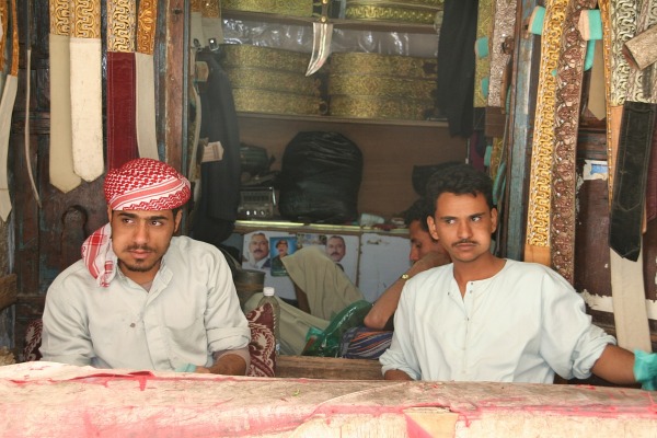
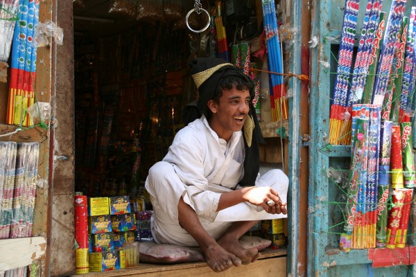
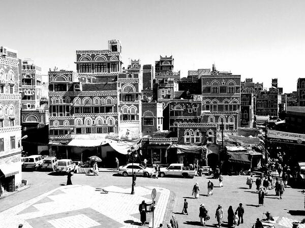
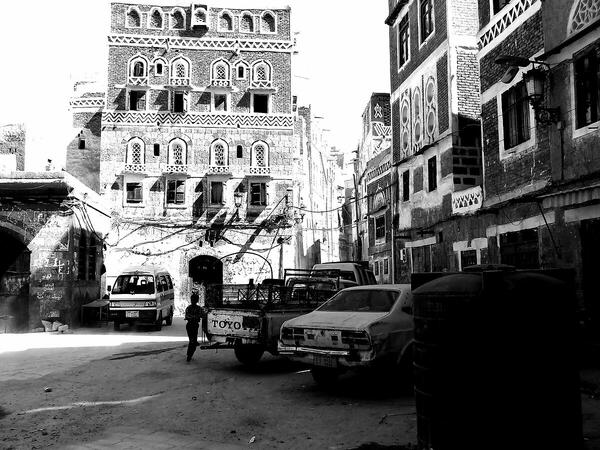
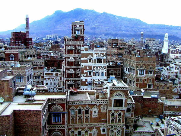
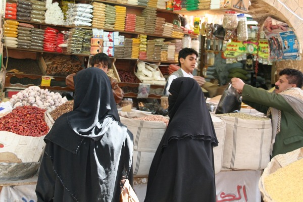
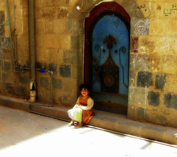
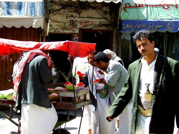
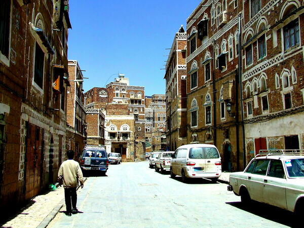
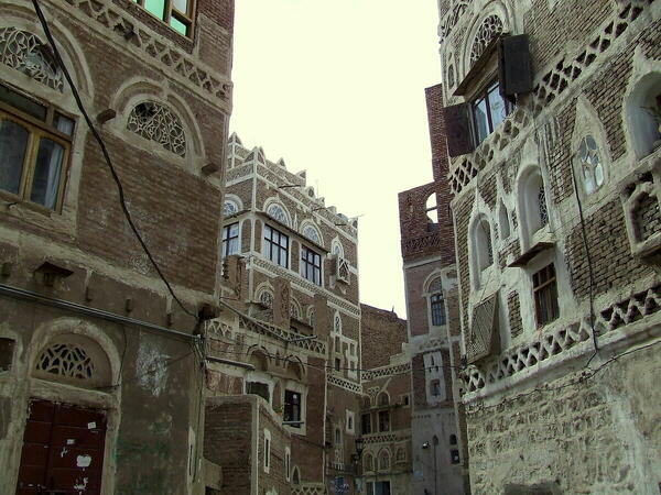
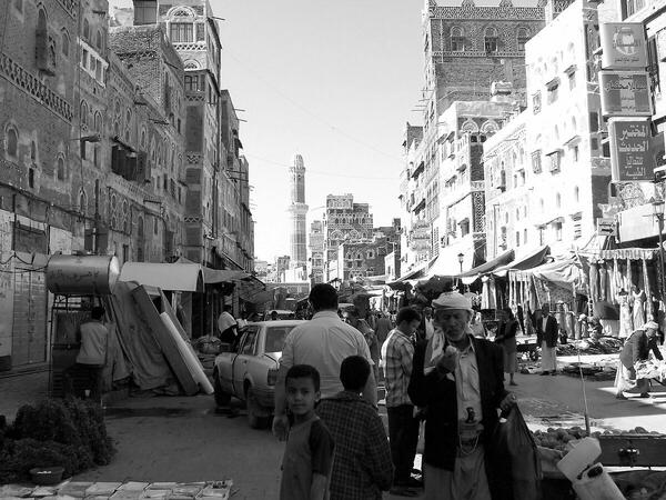
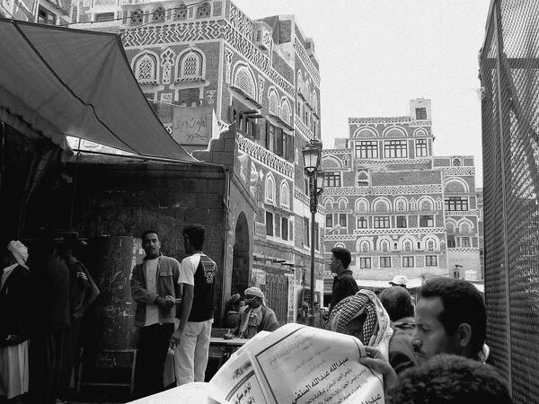
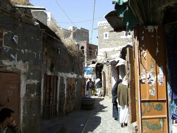
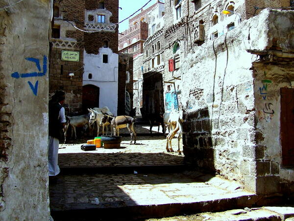
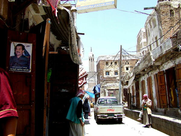
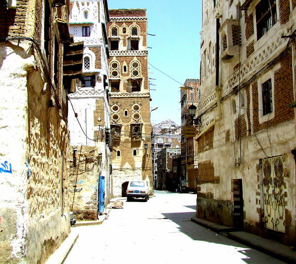
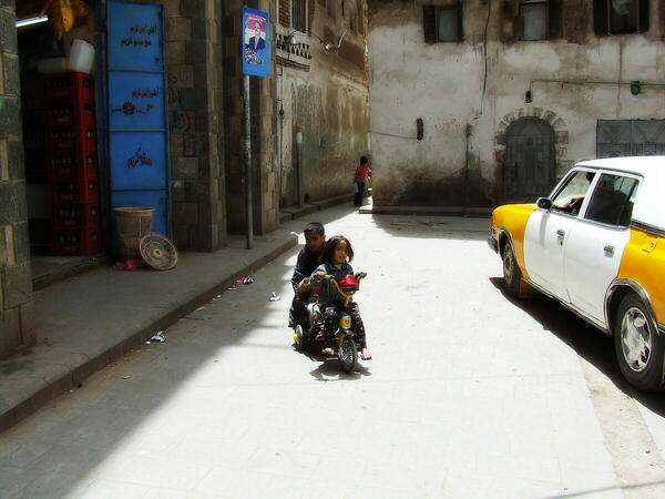
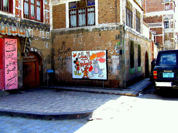
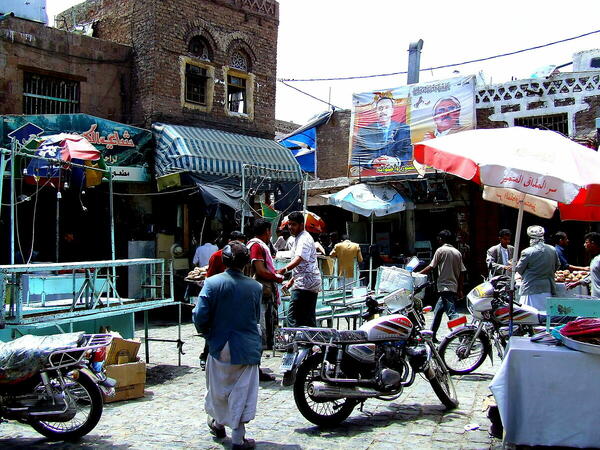
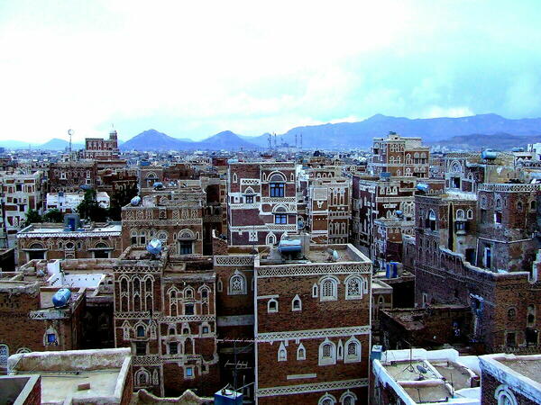
 The information about this location have been automatically translated with Microsoft Translator. The information about this location have been automatically translated with Microsoft Translator. Rank : 10.0 (average on 1 votes)Coordinates : 15.343749, 44.183657 ( Open in Google Maps) Subjects : they recommended no photographing military facilities, and of course you have to use shrewdness also to photograph civilians, not everyone has the same reactions, but I, I had no problem, apart from a few glances, keep IN mind that religion is Islamic . ,had a 'hike already' fixed)and, although evidently recognizable, I have absolutely never felt , a situation of danger.Recommended equipment : I, unfortunately, only had a fuji finepix s5600, and I did not yet have a passion for photography, in fact I shot everything in P mode, there are no photo equipment shops.Best months : my journey dates back to April 2007, for many years Yemen has been living in a precarious situation due to a war that lasts for 5 years, with bombings that have massacred civilians and destroyed many things, malnutrition and the difficult sanitation situation -health has also caused cholera epidemics. I think at the moment it is impossible to visit, this country, or what they have leftHow to get there : by plane, I did milano-roma-sana'a,travel organized by adventures in the world, we stayed 4 days in the capital, then we went, always by plane to Socotra, a beautiful island in front of Yemen, on the return, Socotra - stop in Aden, and depart for Milan Visits : you the entrance is freeNotes : personally, I think that Sana'a, architecturally, is on par with Venice, to see those palaces, it seems to take a step back in time, in the population I did not feel astio towards the tourist
CalendarSunrise: 05:33, Sunset: 18:35 Show Sunrise and Sunset Calendar DiscussionNo replies Read the discussion Moon Phase🌒 Waxing Crescent, Brightness: 29% Show Moon Phases Calendar |
Nearby:  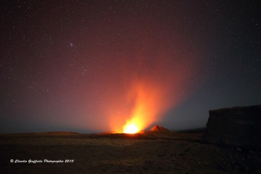 Erta Ale 425 km
 Danakil desert 436 km
 Dahlak Marine National Park 443 km
 Berbera city 553 km
 Keren 615 km
 Hargeisa 644 km
|

 JuzaPhoto contains affiliate links from Amazon and Ebay and JuzaPhoto earn a commission in case of purchase through affiliate links.