cover photo by
Jean-Pierre Lannoy
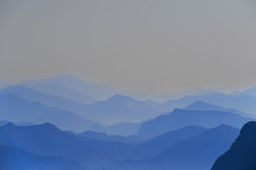
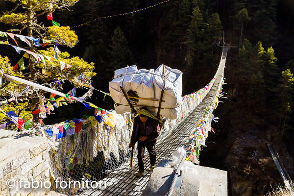
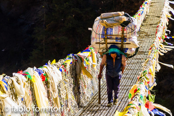
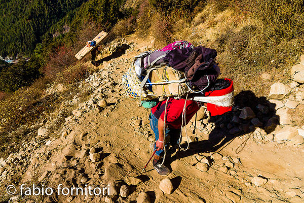
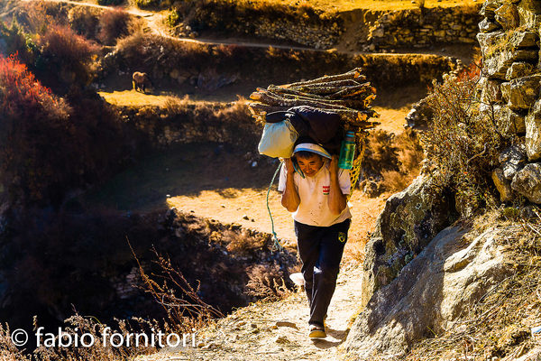
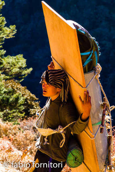
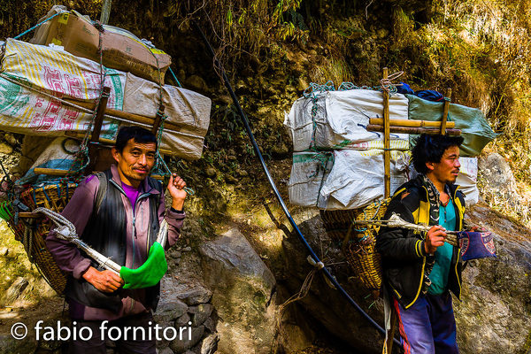
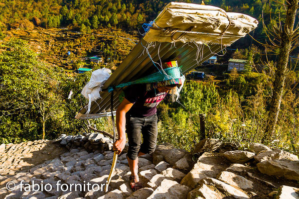
 The information about this location have been automatically translated with Microsoft Translator. The information about this location have been automatically translated with Microsoft Translator. Rank : 10.0 (average on 1 votes)Coordinates : 27.984154, 86.818397 ( Open in Google Maps) Subjects : Immense mountains, glaciers and high mongna passes: Chumbu (6,859m), Pumori (7,161m), Lingtren (6,749m), Khumbutse (6,636m), Changtse (7,543m), Everest (8,843m), Nuptse (7,861m), Ama Dablam (6812m), Kali Himal (6,985m), Cholatse (6,440m)Recommended equipment : Ideal a standard zoom (24-105mm) and a telephoto zoom (70-300mm)Best months : April and May or from mid-October to November (even December, but the temperatures will be quite cold, it is already cold in November)How to get there : Via Lukla, through a trek of several days to go up the valley of the upper Khumbu. To get to Lukla, you can opt for a plane or helicopter flight. Or for a trek of several days in the region of SoluKhumbu (or lower Khumbu), starting from Jiri or Phaplu. There is also a road under construction, apparently difficult to travel, reserved for 4x4s, often impassable during/post monsoon rains, which leads from Phaplu to Bupsa crossing the Dudh Koshi River.Visits : Sagarmatha National Park admission ticketNotes :
CalendarSunrise: 05:04, Sunset: 18:43 Show Sunrise and Sunset Calendar DiscussionNo replies Read the discussion Moon Phase🌒 Waxing Crescent, Brightness: 25% Show Moon Phases Calendar |
Nearby:  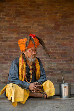 Bhaktapur 141 km
 Kathmandu 149 km
 Chitwan National Park 233 km
 Varanasi 481 km
 Circuito Annapurna 503 km
 Calcutta 624 km
|


 JuzaPhoto contains affiliate links from Amazon and Ebay and JuzaPhoto earn a commission in case of purchase through affiliate links.

