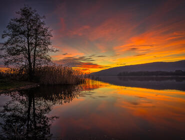
cover photo by
Flavio Ziretti
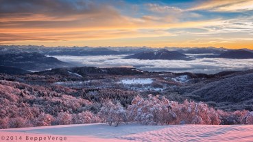
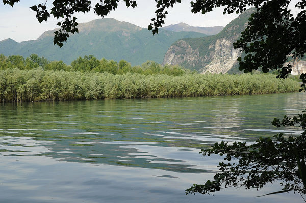
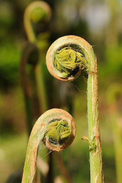
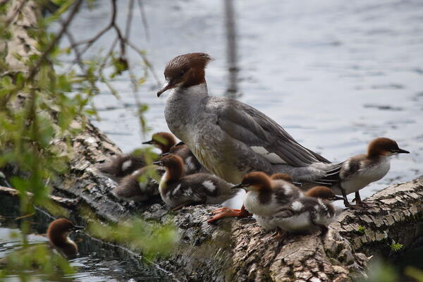
 The information about this location have been automatically translated with Microsoft Translator. The information about this location have been automatically translated with Microsoft Translator. Rank : 7.0 (average on 1 votes)Coordinates : 45.939625, 8.492564 ( Open in Google Maps) Subjects : River and lake landscapeAerial fauna of riparian forest and reeds (Mallard, Swan, Great Crested Grebe, Little Grebe, Greater Smergo, Coot, Gray Heron, Cormorant, White Dancer, Yellow Dancer, Kingfisher, River Nightingale, Jay, Woodpecker Green, Great Spotted Woodpecker, Capinera, Long-tailed Tit, Great Tit, Blue tit, Big tit, Long-tailed tit, Cannaiola, Cannareccione and other species) Lepidoptera and other insectsRecommended equipment : Supertele 400 - 600 for birdlife Macro lens for zoom insects 24 - 105 for landscapesBest months : Winter, spring and autumnHow to get there : Exit at the Baveno toll station of the A26 Voltri - Gravellona Toce motorway, take Verbania. Pass Feriolo, always in the direction of Verbania. Before reaching Fondotoce, turn right to the indication of Camping Isolino. Continue to the wide paved road and park near the LPG petrol station. From here start two paths that run along the river Toce towards the mountain and downstream. The reed bed can be reached along the true valley path up to a small beach. From here it continues crossing the access road to the Camping and entering the path that runs along a large lawn.Visits : Admission is free. For any information and any map refer to the site of the Management Body indicated belowNotes :
CalendarSunrise: 05:37, Sunset: 21:20 Show Sunrise and Sunset Calendar DiscussionNo replies Read the discussion Moon Phase🌔 Waxing Gibbous, Brightness: 88% Show Moon Phases Calendar |
Nearby:  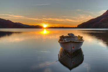 Mergozzo 2 km
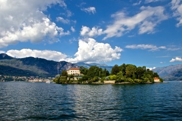 Isole Borromee 5 km
 Stresa 6 km
 Mottarone 6 km
 Santuario del Boden 7 km
 Lago Maggiore 7 km
|

 JuzaPhoto contains affiliate links from Amazon and Ebay and JuzaPhoto earn a commission in case of purchase through affiliate links.
