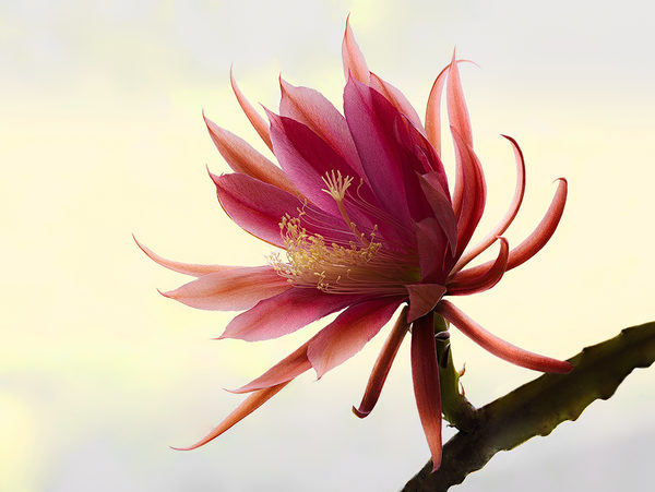
cover photo by
Giuseppe Guadagno
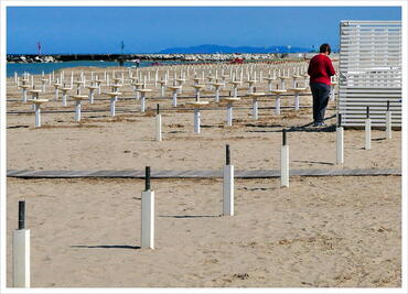
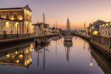
 The information about this location have been automatically translated with Microsoft Translator. The information about this location have been automatically translated with Microsoft Translator. Rank : 8.4 (average on 7 votes)Coordinates : 44.075809, 12.572037 ( Open in Google Maps) Subjects : Beach, Docks, Old Town, Arco d 'Augustus, Tiberius Bridge, Roman Amphitheatre, Malatesta Temple, Malatesta Fortress, Piazza Cavour (central square with medieval monuments), the Surgeon (in Piazza Ferrari), Borgo San Giuliano (characteristic village fishermen, with murals), characteristic villages Romagna Malatestiani include Santarcangelo, Verucchio, Montebello, San Leo, Longiano, Mondaino, Montegridolfo.Recommended equipment : Wide Angle Telephoto Lens Tripod for night shots or interiorsBest months : All the 'year, in all seasonsHow to get there : by car via the A14 motorway, by train, by plane (Airport Fellini), the City is divided by the railroad into two distinct parts: a part of the Railroad sea beach resort, upstream of the Railroad instead a part of history, rich in monuments.Visits : The Malatesta temple is open during daylight hours, the Surgeon's House in Piazza Ferrari too 'it has opening hours during the day, but is visible at any time from' outside through the large windowsNotes :
CalendarSunrise: 05:29, Sunset: 20:56 Show Sunrise and Sunset Calendar DiscussionNo replies Read the discussion Moon Phase🌕 Full Moon, Brightness: 99% Show Moon Phases Calendar |
Nearby:  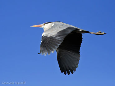 Lago ex Cava Incal System 9 km
 Riccione 10 km
 Bellaria-Igea Marina 10 km
 Misano Adriatico 14 km
 Misano World Circuit 15 km
 Cesenatico 19 km
|


 JuzaPhoto contains affiliate links from Amazon and Ebay and JuzaPhoto earn a commission in case of purchase through affiliate links.