JuzaPhoto uses technical cookies and third-part cookies to provide the service and to make possible login, choice of background color and other settings
(click here for more info).
By continuing to browse the site you confirm that you
have read your options regarding cookies and that you have read and accepted the
Terms of service and Privacy.
You can change in every moment your cookies preferences from the page Cookie Preferences, that can be reached
from every page of the website with the link that you find at the bottom of the page; you can also set your preferences directly here
The information about this location have been automatically translated with Microsoft Translator.
Rank : 7.0 (average on
1 votes)
If you know this place, give your vote: Coordinates : 45.896470, 9.929909
(Open in Google Maps)
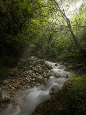
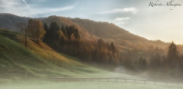
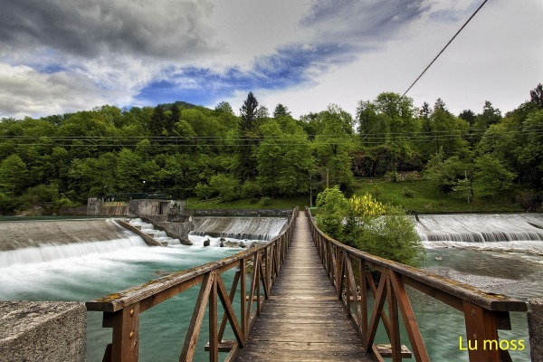
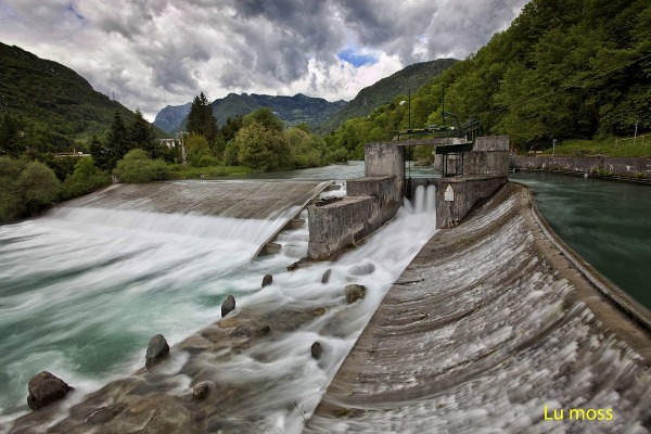
Subjects :Pineta, Church, Mountains, River, Lawns, Trees, Animals ... The building of main interest is the parish church, dedicated to St. Anthony the Abbot. Built in the fifteenth century, was subjected to an almost total reconstruction took place in 1671. Inside you can find works of great value, including a painting by Domenico Carpinoni, tempera on canvas attributed to Giacomo de Borlone Buschis, the high altar wood carved and gilded Giovanni Piccini from the Ninth (1690-1710) and a wooden altar of the Pretty Young Fantoni 1774. Also of interest are the altarpiece of Henry Albricci from Vilminore (1714-1775) and the frescoes dated between 1466 and 1494.Altro religious building worthy of note is the sanctuary of San Rocco. Built in the sixteenth century in the great pine forest, on the outskirts of the village, is still today a place of pilgrimage and popular devotion. On the occasion of the feast of the Assumption of the Virgin Mary, August 15, held fireworks.
Recommended equipment :DSLRs with lenses panoramic or zoom 70-300 or 55-200
Best months :From mid-May to mid-September, or in winter, but only in case of heavy snowfall
How to get there :Located on a small plateau located on the left bank of the river Serio, in Val Seriana, is located about 30 kilometers north-east of the capital. To get there: Exit A4 Bergamo, Seriana and continue following signs for Clusone you come to a fork in the road that leads through the pine forest of Piario
Visits :There are no entrance fees to attractions, it is a small rural village to 539m above sea level which has about 1100 inhabitants.

 JuzaPhoto contains affiliate links from Amazon and Ebay and JuzaPhoto earn a commission in case of purchase through affiliate links.