cover photo by
Orangerob
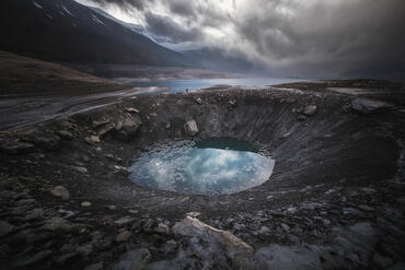
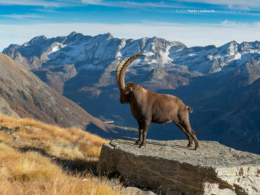
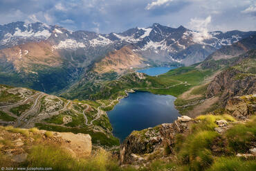
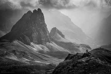
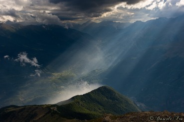
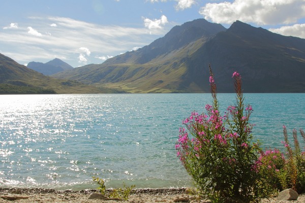
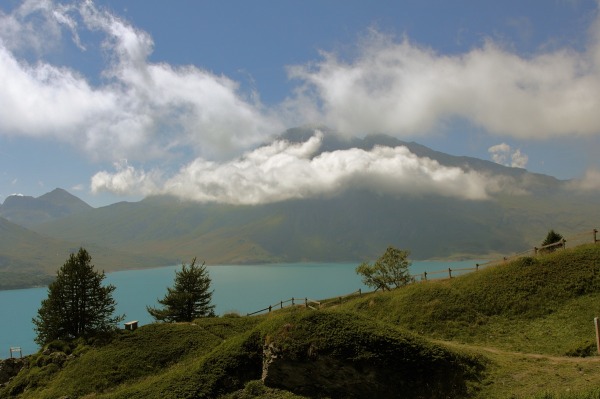
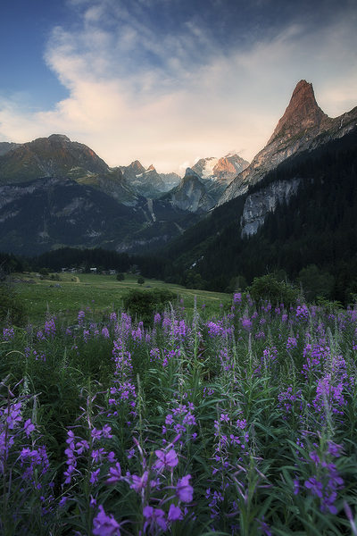
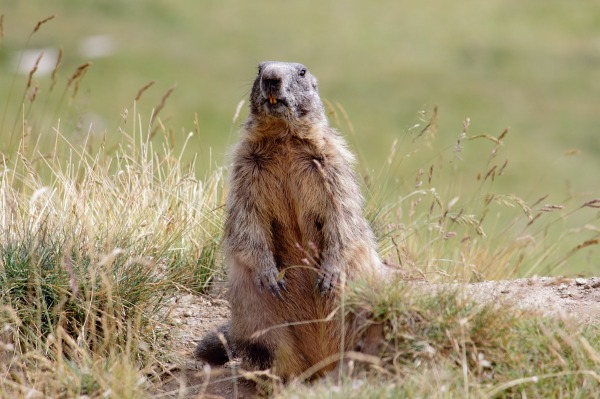
 The information about this location have been automatically translated with Microsoft Translator. The information about this location have been automatically translated with Microsoft Translator. Rank : 8.5 (average on 2 votes)Coordinates : 45.404235, 6.720886 ( Open in Google Maps) Subjects : Mountains, lakes. glaciers, mountain villages, flora, fauna, sports (skiing, snowboarding, paragliding, cycling, skyrunning). Mountains: There are 6 peaks in its territory beyond the 3500m and more than 100 peaks that exceed the 3000m.Gli inhabitants are very attached the Parrachée Dent (second highest peak of the park). There you practice mountain climbing, extreme skiing and parapendio.Laghi: There are many small lakes and some larger lakes. The more details are Lake Chevril (artificial), the Lake of Tignes and Mont Cenis Lake (artificial), The Lake Of Sassière, the two lakes and Amont Aval.Paesi / City: In terms of tourism, the two major points of interest are: Val d'Isere and Tignes.Al beyond all mass sports activities, in Val d'Isere you can make beautiful excursions up the valleys and circostanti.Molto especially dedicated to those who have good legs and lungs that which starts from Pont Saint Charles (entrance of the road that goes up to the Col de l'Iseran) Tignes is a horror landscape. A 2000m realized skyscrapers that are at odds with spectacular scenery that surrounds it. From the village of Tignes-Val Claret you can climb up to the Col de Parmecou. Here, too, must be equipped with excellent gambe.Molto more details are the villages of Bonneval-sur-Arc (almost all in stone) and Sainte-Foy-Tarantaise.Flora and fauna: In its territory there are more than 2000 species of plants and more than 8000 between chamois and ibex. Particularly popular is the marmot, it is found everywhere. Often it is found along roadsides during the early days of the opening of the road D902.Recommended equipment : It ranges from supergrandangolo for the views to super telephoto for the fauna and the flora and macro insetti.Da not forget the polarizer and the lens hood, there the sun beats down hard and the sky is affected. Then, play with the reflections on the water of streams and lakes is a pleasure. At sunset, a nd can also be useful to lengthen the time of the falls (during the day do not need much, unless you have a big stopper).Best months : You can visit all year round. Keep in mind that the territory is crossed by the road D902 (Iseran) which remains closed from October to June innevamento.Per to access it in the middle of winter, there are only the two tunnels, Mont Blanc and Frejus.How to get there : From Italy, there are three possibilities: 1) the Frejus Tunnel, exit Modane, direction Lanslebourg.2) Mont Cenis Pass, leads directly to Lanslebourg, follow to Bonneval s / Arc and Val d'Isère. Please note that even the Mont Cenis undergoes seasonal closure due to snow (usually from October to April / May) .3) Pass the small San Bernardo: you get to Bourg Saint Maurice, take the direction of Val d'Isère. There would also be another possibility: the Mont Blanc tunnel, follow signs for Albertville to Moutiers and then. The view offered by Mont Blanc is spectacular, but the miles become many.Visits : There are no visits to pagamento.Invece a fee, are all the countless sports activities or transportation systems in the area.Notes : In the area there are the ski resorts of Espace Killy (Tignes-Val d'Isere), Les Karellis, The Great Motte.Molto the famous ski facility speed of Les Arcs (first test of the circuit PRO). Here was achieved by our Origone Simone in April 2006, the world speed record on skis: 251,4 km / h, a record still imbattuto.Nel territory of the Vanoise Solte are also a lot of evidence of the Albertville Olympics of 1992.A Val d'Isere were also held the Alpine Skiing World Championships in 2009. Especially the track called "La Face de Bellevarde": 700m in altitude, average gradient of 38% (max 70%) for a total length of 2500m circa.Nel area, there are runs for about 300km. Not difficult to find the right one for himself.
CalendarSunrise: 05:59, Sunset: 20:59 Show Sunrise and Sunset Calendar DiscussionNo replies Read the discussion Moon Phase🌑 New Moon, Brightness: 2% Show Moon Phases Calendar |
Nearby:  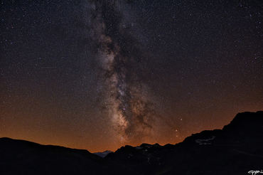 Colle dell'Iseran 24 km
 Lago del Moncenisio 27 km
 Ceresole Reale (Parco del Gran Paradiso) 32 km
 Colle del Nivolet 34 km
 Monte Thabor 34 km
 Rocciamelone 35 km
|

 JuzaPhoto contains affiliate links from Amazon and Ebay and JuzaPhoto earn a commission in case of purchase through affiliate links.
