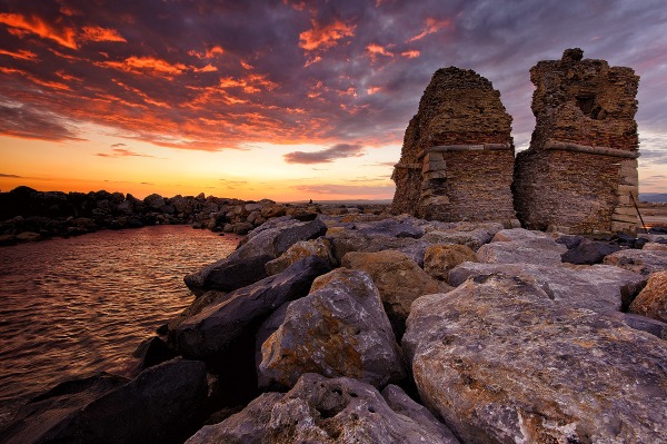
cover photo by
Claudio Cortesi
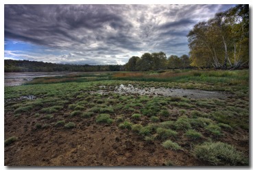
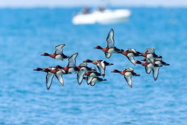
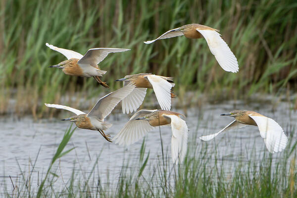
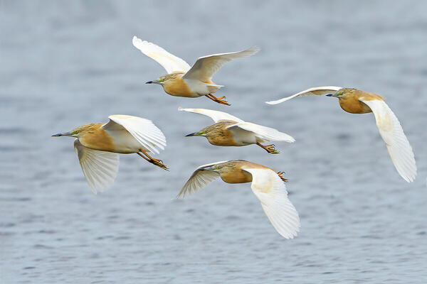
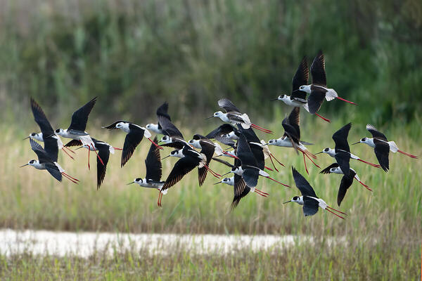
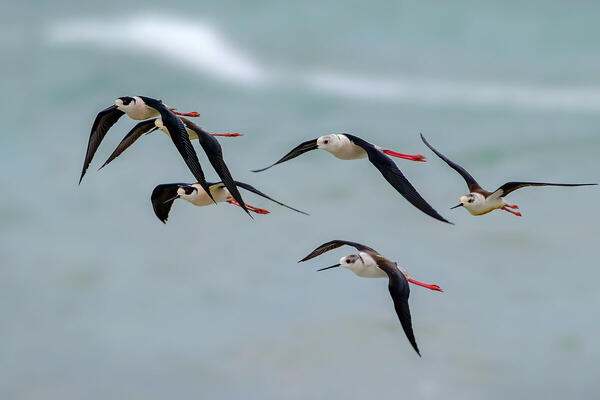
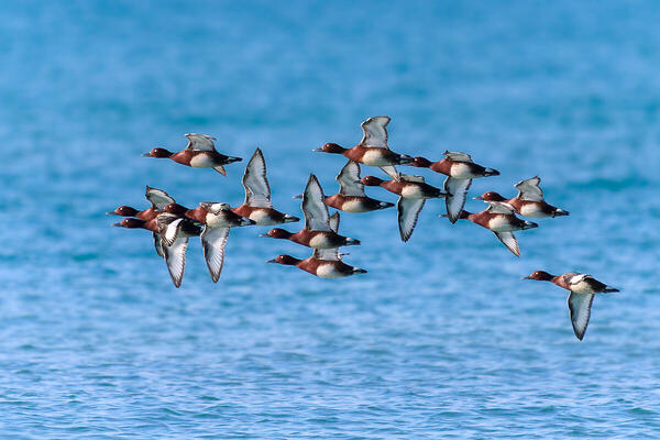
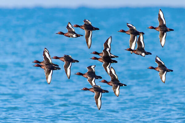
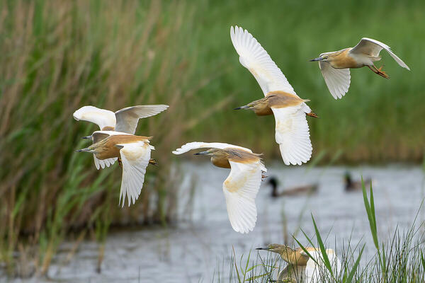
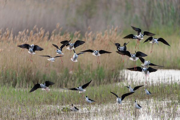
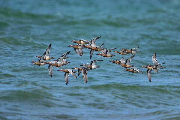
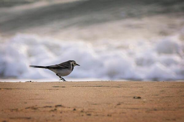
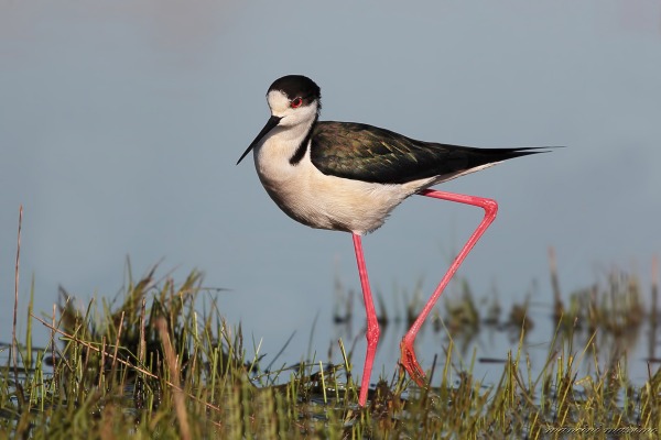
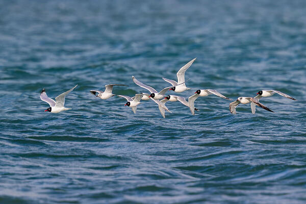
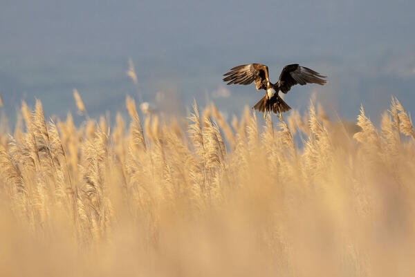
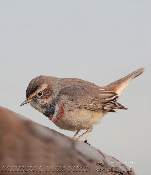
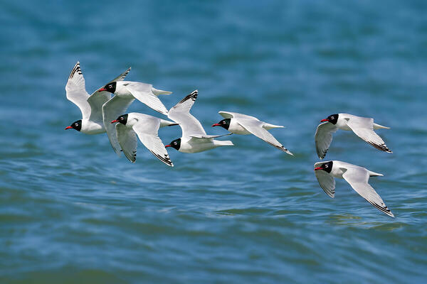
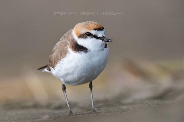
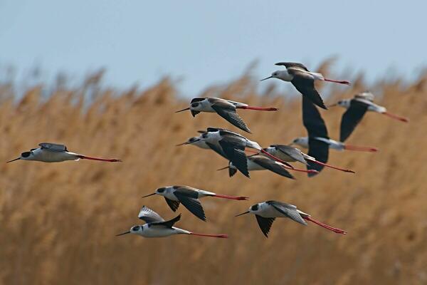
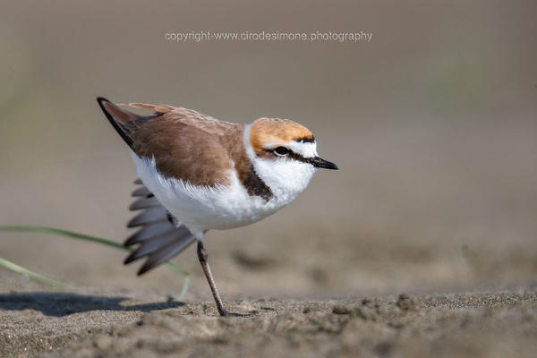
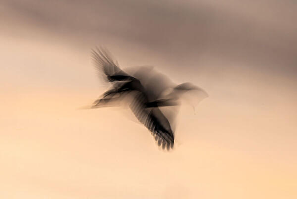
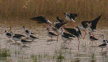
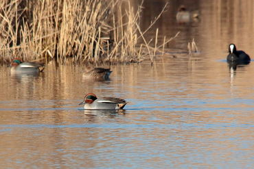
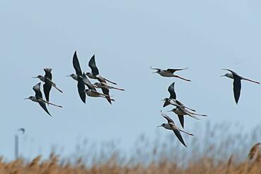
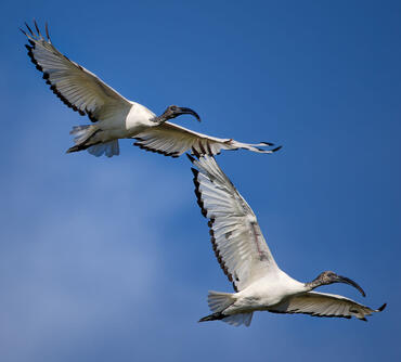
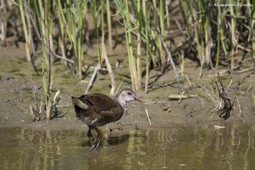
 The information about this location have been automatically translated with Microsoft Translator. The information about this location have been automatically translated with Microsoft Translator. Rank : 8.2 (average on 6 votes)Coordinates : 41.964596, 12.045622 ( Open in Google Maps) Subjects : Knight of Italy, Little Egret, Grey Heron, Little Crake, Coot, Moorhen, Spoonbill, Avocet, Northern Shoveler, Little Ringed Plover, Zitting, White Wagtail, Barn Swallow, Green, Greenshank, SnipeRecommended equipment : SLR cameras with telephoto lenses. In some parts of the marsh may be sufficient telephoto 300 mm, others better at longer focal lengths or multipliers.Best months : All year round, especially during migration.How to get there : Aurelia state road or highway A12 Rome-Civitavecchia (exit Ladispoli-Cerveteri). If you are using the highway, after the release Ladispoli-Cerveteri and turn right on the Via Aurelia, at the first traffic light turn left (on the right there is a barracks of the Fire Brigade) then follow the road straight ahead, to the swamp (two inputs, the first curve, the other where there is an information point a little later.)Visits : Free admission, there are times of opening and closing.Notes : Never go beyond the fences or areas off-limits as not to scare the birds and nidifcante not.
CalendarSunrise: 05:36, Sunset: 20:46 Show Sunrise and Sunset Calendar DiscussionNo replies Read the discussion Moon Phase🌗 Third Quarter, Brightness: 40% Show Moon Phases Calendar |
Nearby:  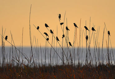 Riserva regionale Macchiatonda 6 km
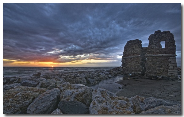
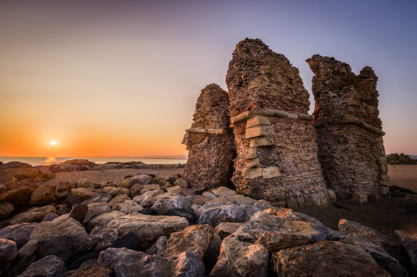
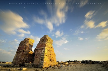
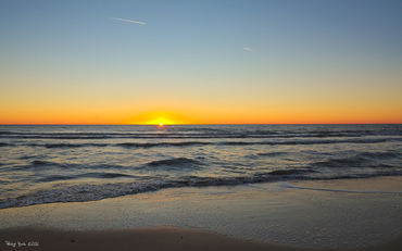
 Santa Severa 9 km
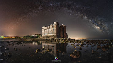
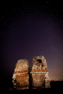
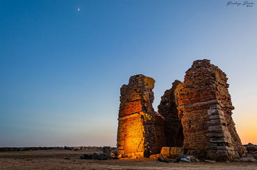
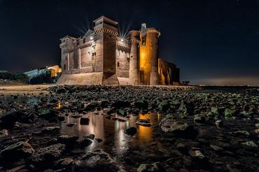 Castello di Santa Severa 9 km
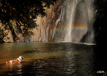 Cascate di Castel Giuliano 11 km
 Caldara di Manziana 14 km
 Tenuta di Maccarese 18 km
|


 JuzaPhoto contains affiliate links from Amazon and Ebay and JuzaPhoto earn a commission in case of purchase through affiliate links.

