JuzaPhoto uses technical cookies and third-part cookies to provide the service and to make possible login, choice of background color and other settings
(click here for more info).
By continuing to browse the site you confirm that you
have read your options regarding cookies and that you have read and accepted the
Terms of service and Privacy.
You can change in every moment your cookies preferences from the page Cookie Preferences, that can be reached
from every page of the website with the link that you find at the bottom of the page; you can also set your preferences directly here
The information about this location have been automatically translated with Microsoft Translator.
Rank : 7.0 (average on
2 votes)
If you know this place, give your vote: Coordinates : 66.368337, 29.313890
(Open in Google Maps)
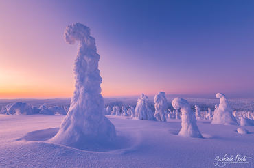
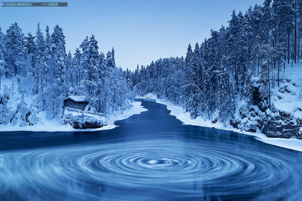
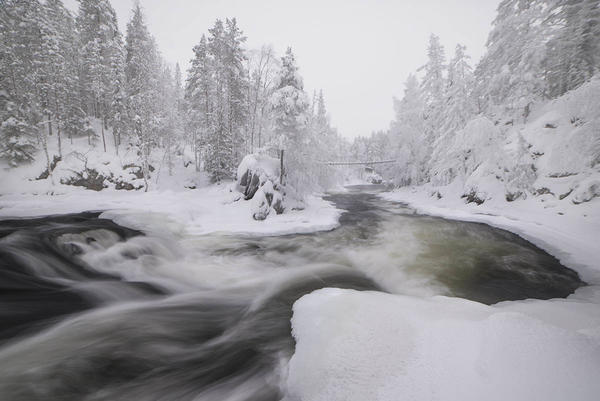
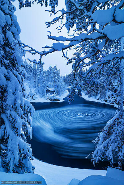
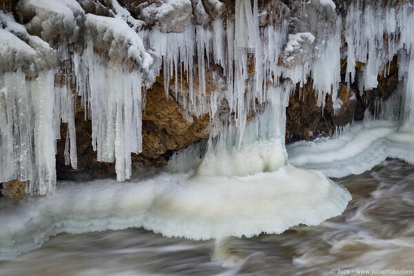
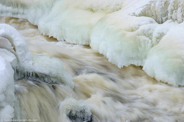
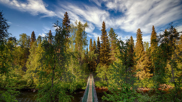
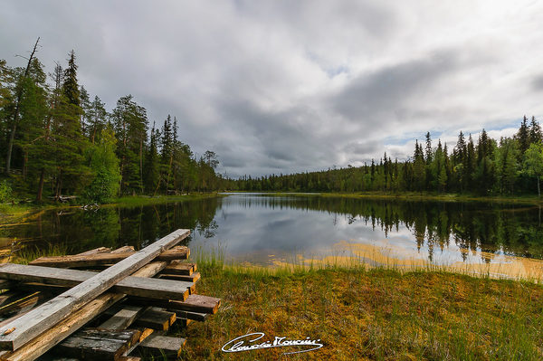
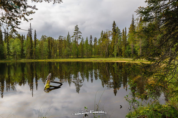
Subjects :Oulanka National Park (Oulangan kansallispuisto) offers numerous trekking routes, mainly in wooded and hilly territory. We have walked a two-hour loop path that starts from the visitor centre and in the final part skirts the Patoniva River, which in winter offers a particularly interesting scenery, with numerous ice formations.
Recommended equipment :Grand angle, standard zoom, zoom canvases, tripod.
Best months :All year round, the park can also be visited in winter.
How to get there :For those coming from the south (Kuusamo) follow the E63 and then continue on the 8693; you can park at the visitor center and from here start the routes.
Visits :Free and free visit.
Notes :In the winter season it is essential to have suitable clothing and crampons to avoid slips on the ice, present in many sections of the routes.



 JuzaPhoto contains affiliate links from Amazon and Ebay and JuzaPhoto earn a commission in case of purchase through affiliate links.