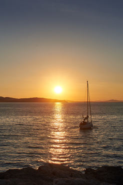
cover photo by
Marco Neri
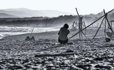
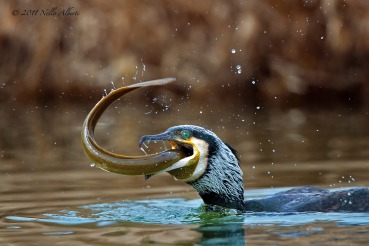
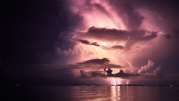
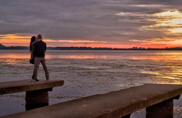
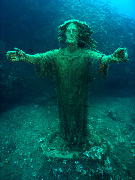
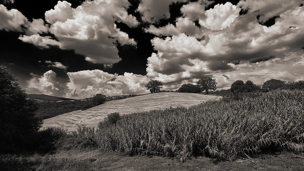
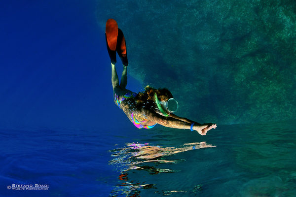
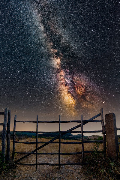
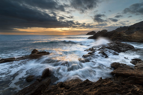
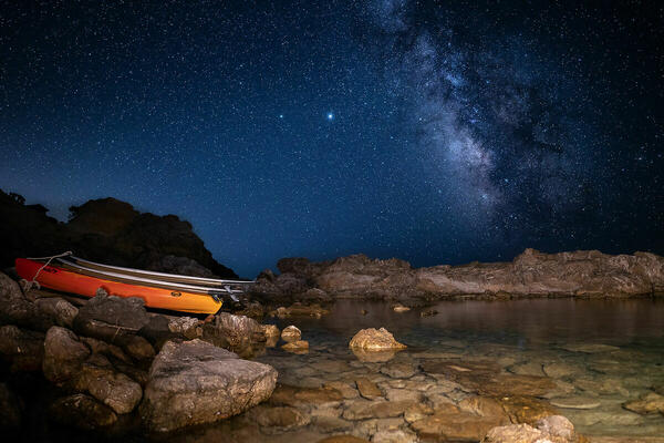
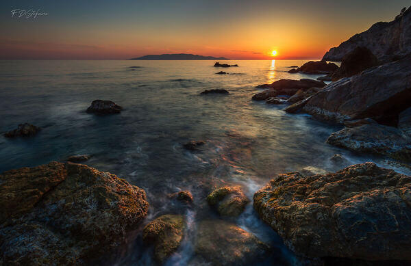
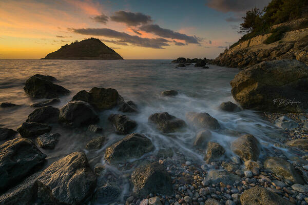
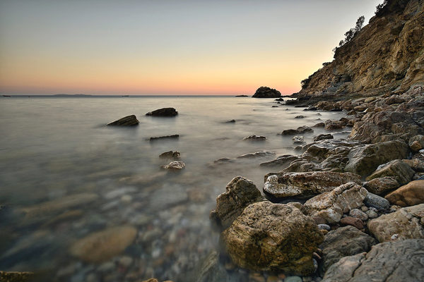
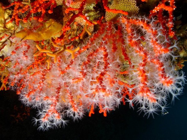
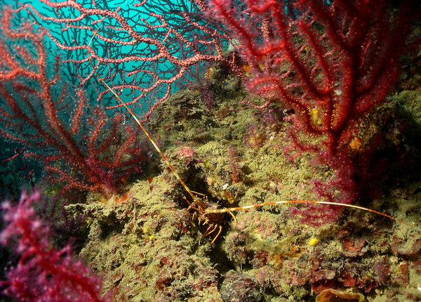
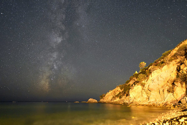
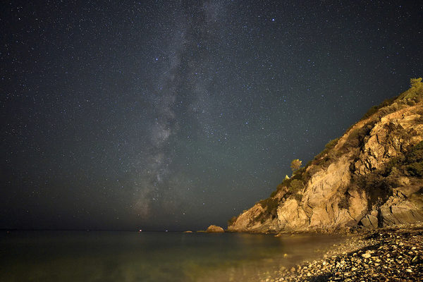
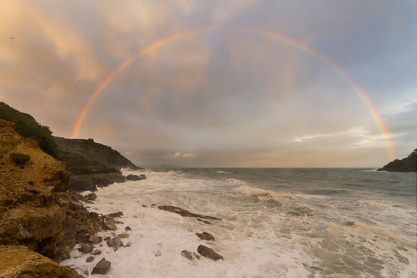
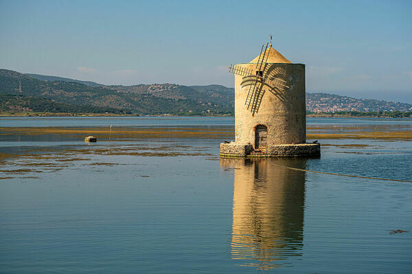
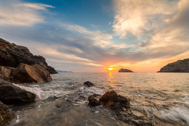
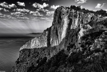
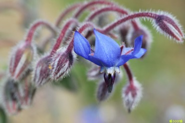
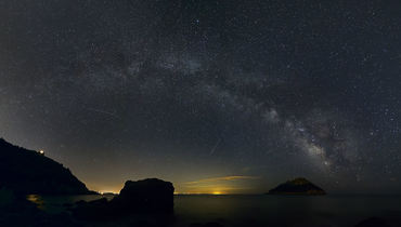
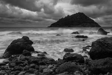
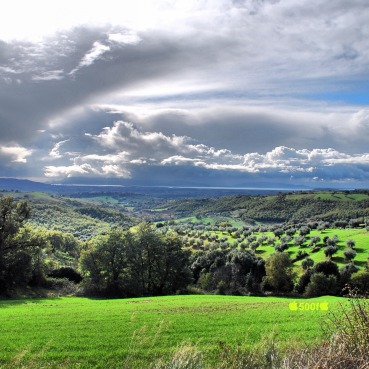
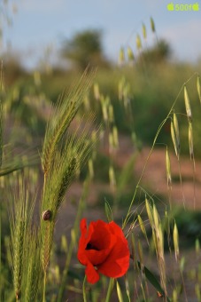
 The information about this location have been automatically translated with Microsoft Translator. The information about this location have been automatically translated with Microsoft Translator. Rank : 9.7 (average on 9 votes)Coordinates : 42.420415, 11.158962 ( Open in Google Maps) Subjects : In the internal area of the promontory there are many paths that rise from the sea in the middle of a lush Mediterranean up to 635 meters (telegraph point) and admiring of rare beauty. The marine environment of great variety, can really satisfy everyone. For lovers of rocky seabed, along the Argentario coast, towering cliffs alternate with picturesque coves and wild beaches and isolated, hard to reach (preferably in the boat and / or boat), but lapped by a crystal clear sea . The very irregular coastline offers divers many different dives each other: walls, caves, wrecks and dried in a sea full of life. The two tomboli are long sandy beaches sheltered by shady pine trees that make these areas particularly quiet, relaxing and easy to access.
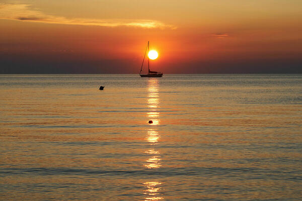
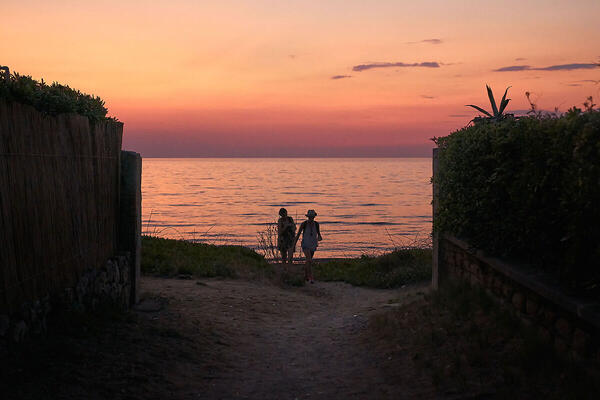
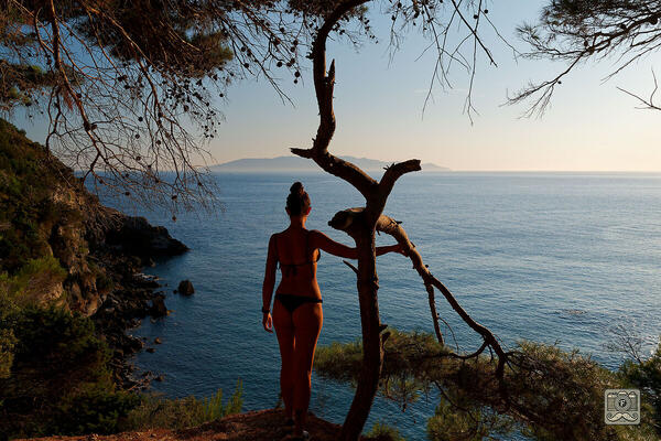
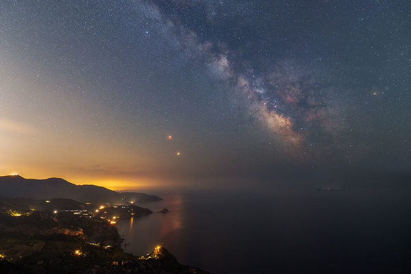
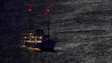
The perimeter of the Argentario is entirely feasible thanks to a ring road that allows you to turn it around, being able to admire the beautiful cliffs overlooking the sea, with stunning views of endless and full of light, embellished with fine sand and clear. Numerous beaches and bays with crystal clear waters that offer many shades of color, from turquoise to deep blue to cobalt blue.
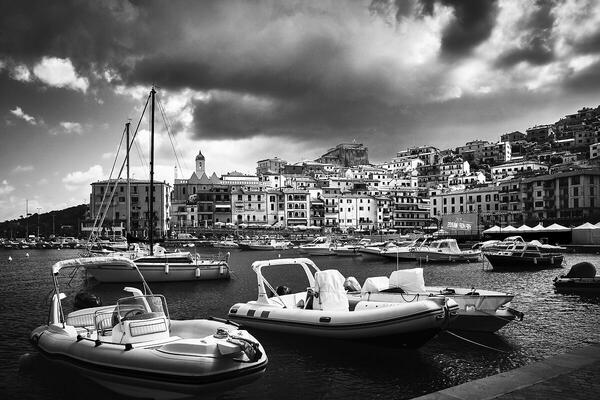
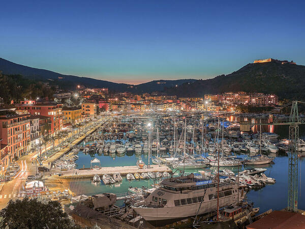
The picturesque villages of Monte Argentario are Porto Ercole and Porto Santo Stefano, the latter the Town Hall.
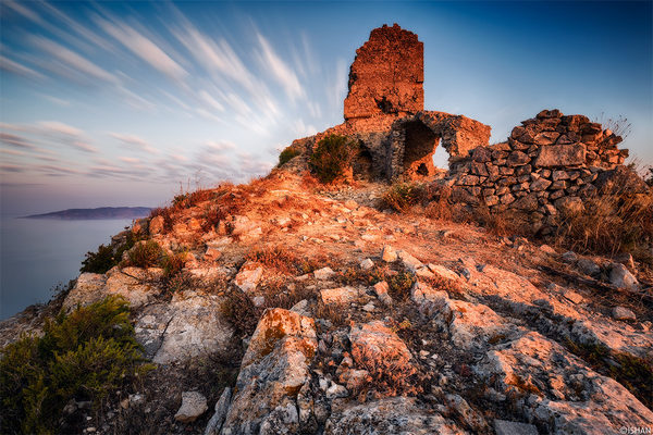
In Porto Ercole, within the village are worthy of note, the Palace of the Rulers Spaniards, the Church of St. Erasmus, the Garden and the Villa Corsini. La Rocca, on the promontory, dominating an impressive landscape of the sea and the marina, where it runs the promenade Andrea Doria, summer hiking destination of many tourists.
In Porto Santo Stefano, the most representative monument is the Spanish Fortress built for defensive purposes at the time of the State of Deans and which now houses the permanent exhibitions: "Submerged Memories", with archaeological finds in its depths and "Masters of 'Axe "dedicated to the old builders of ships and boats to fishermen.
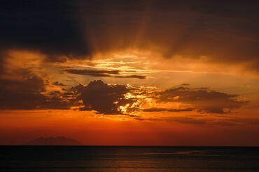
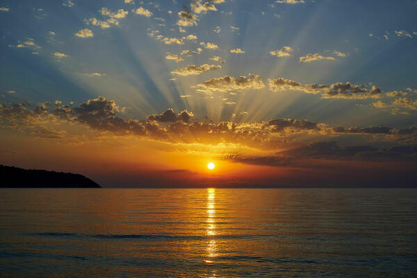
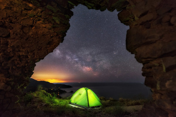
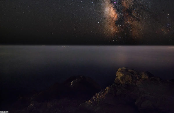
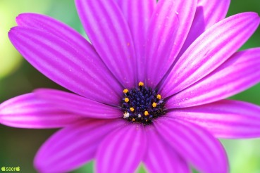
On the waterfront was established Learning Center of Marine Biology where you can visit The Aquarium of the Silver Coast Mediterranean and the Sea Museum that are part of the Museums of Maremma.Recommended equipment : Tripod, for macro and telephoto lenses.Best months : All year round. In summer you can take pictures underwater and beautiful landscapes. Due to the weather conditions these coasts are frequented by lovers of water sports and sailing.How to get there : From Grosseto take the SS Aurelia towards Rome and follow the directions to Orbetello and Monte Argentario. You take the exit towards the SP36/Strada Provincial Giannella and follow the signs for Monte Argentario.Visits : For lovers of trekking and mountain biking in the inland area of ??the promontory there are many paths that rise from the sea in the middle of a lush Mediterranean up to 635 meters (telegraph point) and admiring of rare beauty. The tomboli are surrounded by lush vegetation, nell'arenile are large stretches of beach and a few bathhouse, it is therefore equipped beaches with comfortable and ample parking, many of whom paid.Notes :
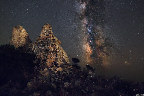
CalendarSunrise: 05:38, Sunset: 20:55 Show Sunrise and Sunset Calendar DiscussionNo replies Read the discussion Moon Phase🌒 Waxing Crescent, Brightness: 21% Show Moon Phases Calendar |
Nearby:  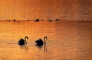 Bosco di Patanella 7 km
 Riserva naturale Duna Feniglia 7 km
 Oasi Laguna Orbetello 8 km
 Orbetello 9 km
 Oasi WWF Lago di Burano 18 km
 Isola del Giglio 22 km
|


 JuzaPhoto contains affiliate links from Amazon and Ebay and JuzaPhoto earn a commission in case of purchase through affiliate links.