cover photo by
Bruno87
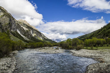
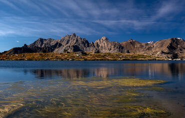
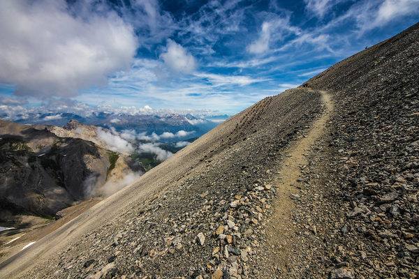
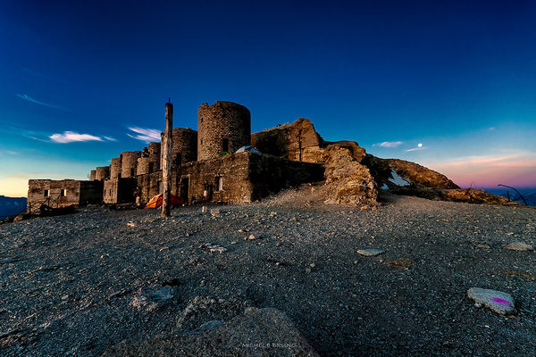
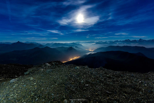
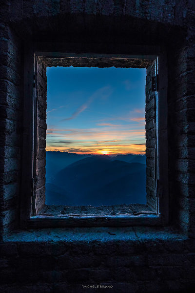
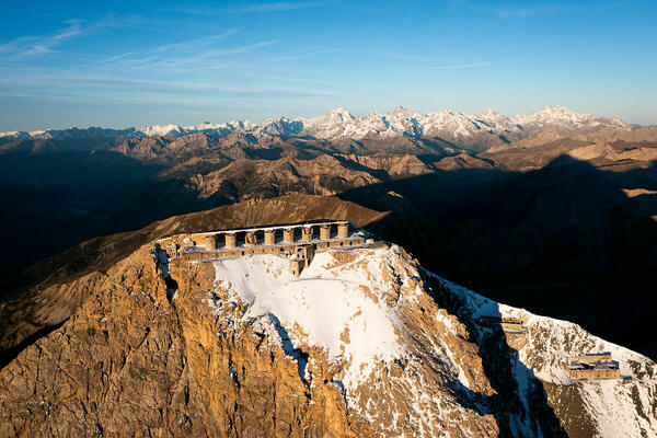
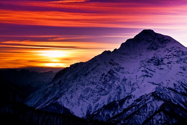
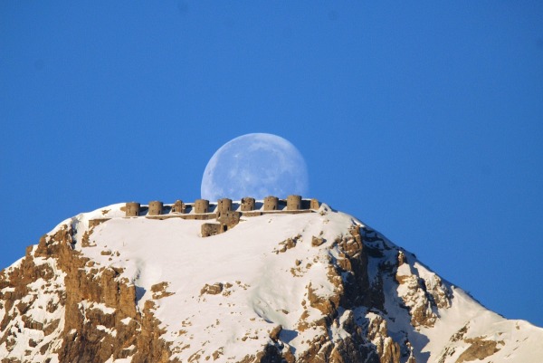
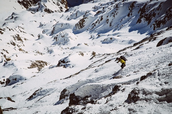
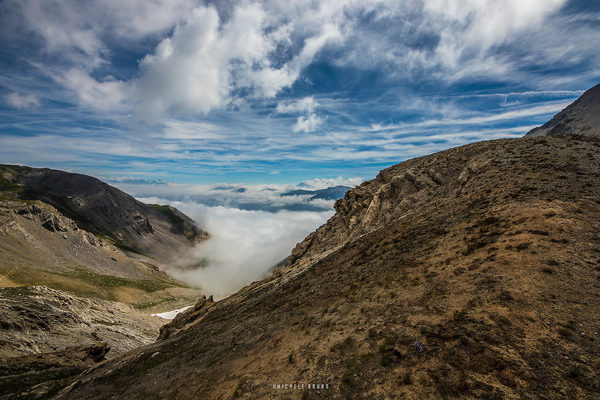
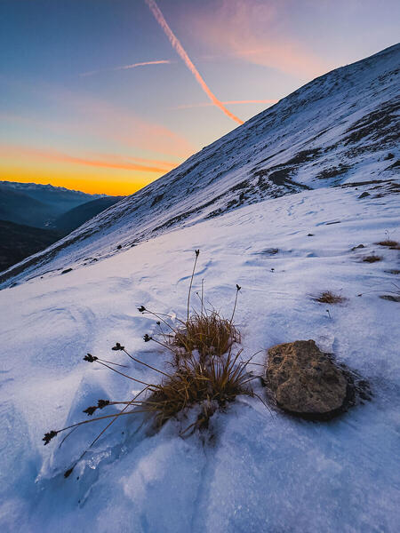
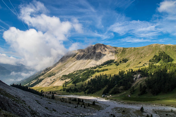
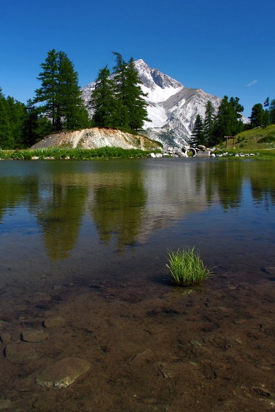
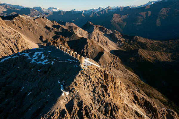
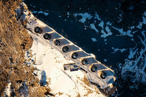
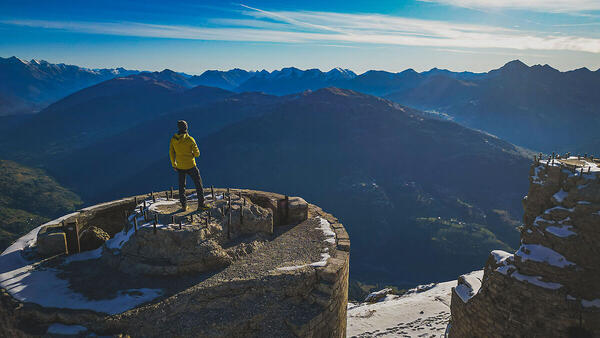
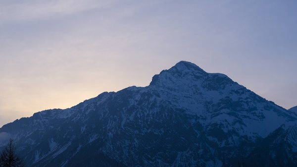
 The information about this location have been automatically translated with Microsoft Translator. The information about this location have been automatically translated with Microsoft Translator. Rank : 9.3 (average on 3 votes)Coordinates : 44.964892, 6.750667 ( Open in Google Maps) Subjects : The excursion to Mount Chaberton offers the opportunity to photograph an infinite multitude mountain landscapes. Its location offers superb views over the Val Susa, on the Briançon valley of Sestriere and much of the surrounding mountain panorama. The feature that attracts many hikers to the summit is definitely the "Battery of Chaberton", a spectacular fortification, built between the end of '800 and early' 900 to 3130m above sea level making it the highest in Europe fortress! The building is open to visitors but with the proper precautions because of the state of abandonment of the same. In inland and underground parts should obtain the proper equipment (Headlamps, crampons, harnesses, ropes, ...) and above all never venture alone because of the presence of ice that blocks almost completely certain passaggi.Inoltre there is the possibility of photographing the typical mountain fauna (ibex, chamois, wild sheep, marmots) in the periods where the affluence of excursionists is low.Recommended equipment : WATER definitely given the lack of fountains where you can stock, and of plants and shade after the first stretch of camminata.Per regarding the photographic side board wide-angle and zoom lenses, if you have the opportunity to bring a tripod and it never hurts maybe some ND filters pushed and why not a polarizer.Best months : The summer, hiking smoothly, from July to September. In winter they go up the ski touring enthusiasts and I think the view is truly breathtaking.How to get there : There are several options, the one I walk usually starts from Claviere. Heading for the border and just past the bridge over the Rio Secco, turn right and you park your car, from here there is a path that runs along the right bank of the river, follow it coming to intersect a dirt path to follow until you meet the cable car. Once you reached you cross the river bed and follow a path that passes near the ruins of the shelter Seven Fountains (destroyed by an avalanche) and climbs the canyon up to the Chaberton hill (2671m above sea level), it follows from here the old military road, running from Fenils, and along the last stretch on the endless hairpin bends you reach the spectacular summit at 3130m slmUn'altra option is the military road running from Fenils where the climb is more "sweet" but longer because winds on the mountain for about 13km, this route is very followed by cyclists.Visits : Access to the fort is free but you have to pay close attention nell'addentrarcisi inside because of the state of abandonment in which the structure versa. However, with proper precautions and equipment can be visited.Notes :
CalendarSunrise: 05:48, Sunset: 21:23 Show Sunrise and Sunset Calendar DiscussionNo replies Read the discussion Moon Phase🌔 Waxing Gibbous, Brightness: 91% Show Moon Phases Calendar |
Nearby:  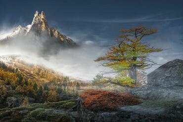 Valle della Claree 6 km
 Valle Argentera 10 km
 Sauze D'Oulx 10 km
 Nevache 12 km
 Bardonecchia 12 km
 Val Troncea 15 km
|

 JuzaPhoto contains affiliate links from Amazon and Ebay and JuzaPhoto earn a commission in case of purchase through affiliate links.