Rank : 7.0 (average on 1 votes)Coordinates : 37.693873, -105.544624 (
Open in Google Maps)
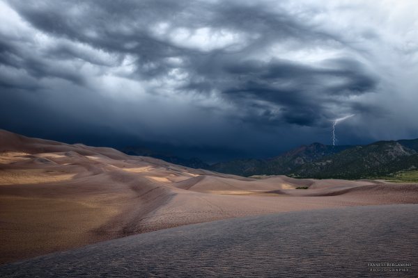
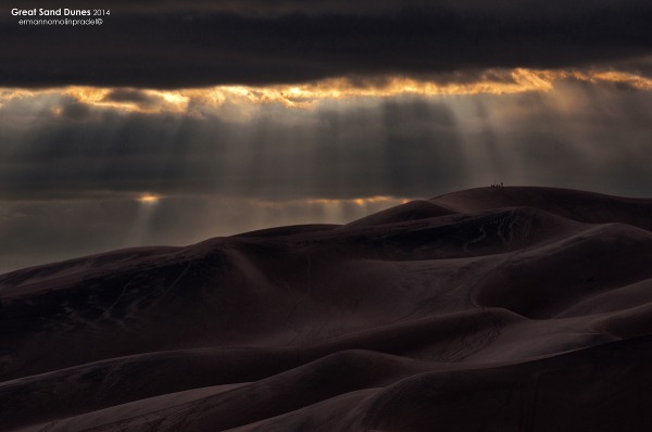
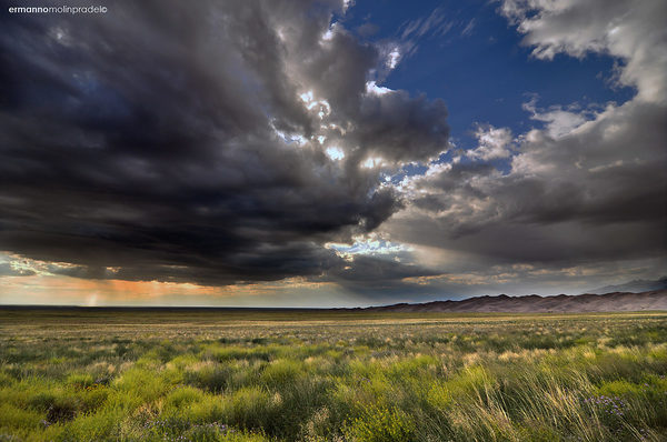
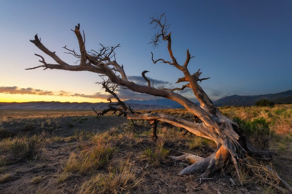
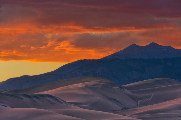
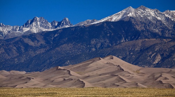
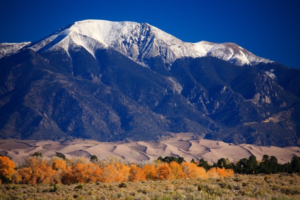
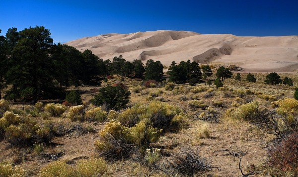
Subjects : The tallest sand dunes in North America. The park covers an area of some 60,000 hectares, with the dunes covering perhaps one fith of this area. The highest dune is about 230 metres. The dunes lie within an arc of mountains that reach over 4,000 metres. The dunes look spectacular against the range of maintains that lie to the north east of the dunefield. The mountains are occupied by the usual suspects found in the SW of the USA: Mountain lion, mule deer, bear, elk, pronghorn and coyote. The dunes and the wetlands to the south west of the dunes provide a habitat for many smaller mammals and a wide range of birds.
Recommended equipment : A telephoto to capture the dunes against the mountains. Wide angles to capture the dunes against the surrounding forest. Keep the sand out, of course
Best months : Spring and autumn. Like the rest of the southwest of the USA, best to avoid summer, and winder can get pretty cold, with plenty of snow further north
How to get there : The park is located in south central Colorado. There are two paved roads into the park, from the south and east. We drove up from Santa Fe in New Mexico, along one of the straightest roads in North America. Its about 4 hours drive from Denver via I25, or a more scenic route via I70 and then south through Salida, Leadville and Vail.
Visits : Modest fees. Plenty of parking, of course, with a visitors centre. To get out onto the dunes, you have to walk. Stick to the firmer sand, especially on ridges, and avoid steep slopes.
Notes : Sunrise and sunset would provide the best view of the dunes, as the shadows will give them more form.
CalendarSunrise: 05:54, Sunset: 20:02
Show Sunrise and Sunset Calendar DiscussionNo replies
Read the discussion Moon Phase🌘 Waning Crescent,
Brightness: 29%
Show Moon Phases Calendar 
 JuzaPhoto contains affiliate links from Amazon and Ebay and JuzaPhoto earn a commission in case of purchase through affiliate links.