Rank : 8.0 (average on 1 votes)Coordinates : 48.225665, -122.769498 (
Open in Google Maps)
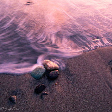
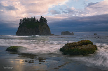
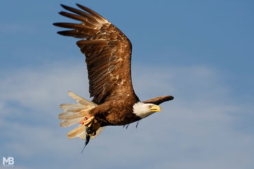
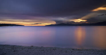
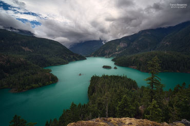
Subjects : Views west across Admiralty Inlet to Olympic Mountains and Straits of Juan de Fuca and south down Puget Sound toward Mount Rainier, which dominates the Cascade range at 14,410' on a clear day. Beach scenes and views from the bluff are excellent. Wildlife abounds, including deer and owls, as well as other sea birds and sea life. The bluffs are used to spot and count whales. Campsites are just back from the bluff and there are over 25 miles of trails, a good portion open to mountain bikes.The town of Coupeville is minutes away and has great food available, including local seafood.
Recommended equipment : Wide angle for broad views, 70-200 or greater for picking out details. Tripods for sharpness. Polarizing filter to reduce glare on water and to help mountain views pop. Split neutral density filter to balance sky and foreground.
Best months : Spring and fall have a fair amount of wind to keep the air clean and views sharp. Storms come and go, offering great skies.
How to get there : North from Seattle on I-5 to Mukilteo. Ferry to Clinton on Whidbey Island, then south to Coupeville area and Fort Ebey State Park.From the Olympic Peninsula, you can catch the ferry from Port Townsed to Keystone ferry and then follow signs north to Coupeville.
Visits : $10/day per vehicle or $30 Annual Pass to all State Parks in Washington State.
Notes :
CalendarSunrise: 05:12, Sunset: 21:15
Show Sunrise and Sunset Calendar DiscussionNo replies
Read the discussion Moon Phase🌔 Waxing Gibbous,
Brightness: 92%
Show Moon Phases Calendar 
 JuzaPhoto contains affiliate links from Amazon and Ebay and JuzaPhoto earn a commission in case of purchase through affiliate links.