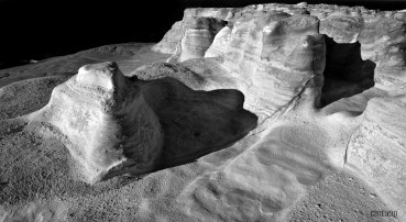
cover photo by
Nick63
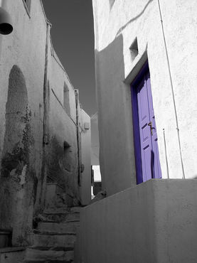
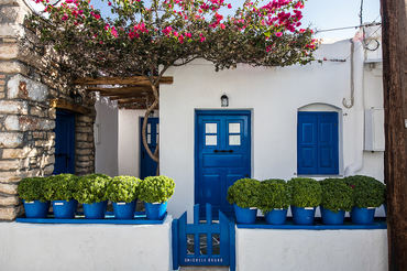
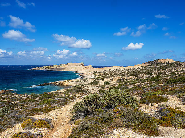
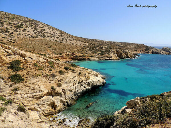
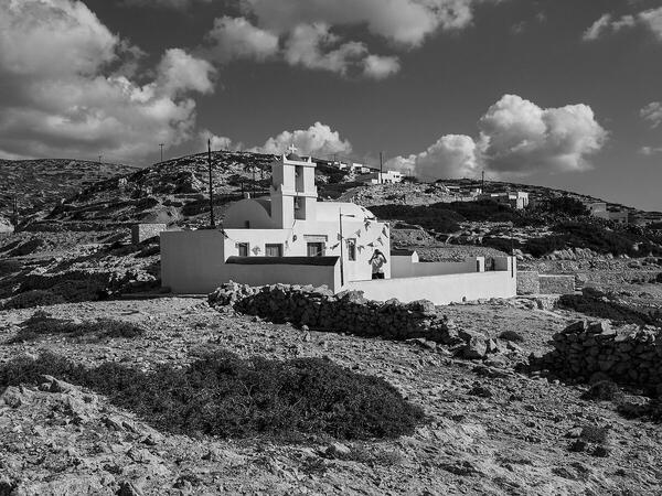
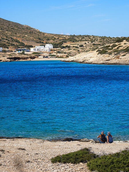
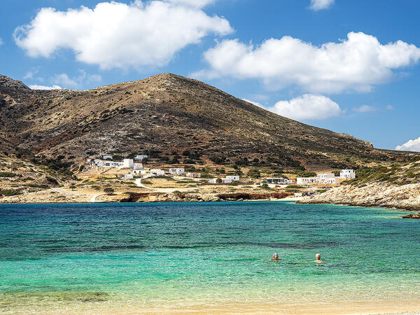
 The information about this location have been automatically translated with Microsoft Translator. The information about this location have been automatically translated with Microsoft Translator. Rank : 8.0 (average on 1 votes)Coordinates : 37.109979, 25.805886 ( Open in Google Maps) Subjects : Beaches,sea,boats,districts,fish,shipwrecks,sunset,sunrise,stars,islands,cycladic architecture,hiking trails,cliffs,goats,sheep,donkeys,birds,shepherds,wind,meltemi,storm surges,remains of windmills,cycladic characteristic inns,greek foodRecommended equipment : Recommended wide-angle lens, polarizing filter and tripodBest months : June,September-OctoberHow to get there : Recommended flight to Athens, then boarding on the Blue Star Ferries ferry departing from Athens from the port of Piraeus to Donussa (about 7 hours of navigation)Visits : Free admission, no opening hoursNotes :
CalendarSunrise: 05:56, Sunset: 20:39 Show Sunrise and Sunset Calendar DiscussionNo replies Read the discussion Moon Phase🌒 Waxing Crescent, Brightness: 9% Show Moon Phases Calendar |
Nearby:  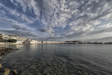 Mykonos 53 km
 Ios Island 62 km
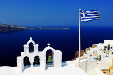 Santorini Island 83 km
 Folegandros 95 km
 Isola di Milos 127 km
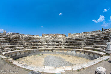 Aphrodisias 157 km
|

 JuzaPhoto contains affiliate links from Amazon and Ebay and JuzaPhoto earn a commission in case of purchase through affiliate links.
