RCE Foto

(i) On JuzaPhoto, please disable adblockers (let's see why!)


Login LogoutJoin JuzaPhoto!
JuzaPhoto uses technical cookies and third-part cookies to provide the service and to make possible login, choice of background color and other settings (click here for more info).

By continuing to browse the site you confirm that you have read your options regarding cookies and that you have read and accepted the Terms of service and Privacy.


OK, I confirm


You can change in every moment your cookies preferences from the page Cookie Preferences, that can be reached from every page of the website with the link that you find at the bottom of the page; you can also set your preferences directly here

Accept CookiesCustomizeRefuse Cookies

Djenné, Mali


cover photo by Massimo Randi  


Location added by Umpos


 The information about this location have been automatically translated with Microsoft Translator.

Rank : 8.0 (average on 1 votes)

If you know this place, give your vote:  

Coordinates : 13.905247353521093, -4.555420709918986 (Open in Google Maps)

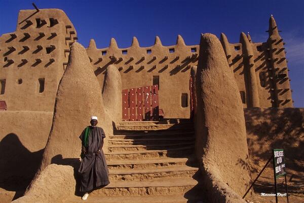
Subjects : Djenné, overlooking the bank of the Bani River, a tributary of the Niger, is the center of a larger area that also includes some important archaeological sites. Since 2016 it has been classified as a UNESCO World Heritage Site. The city is famous for its mud-brick constructions, including the impressive Grand Mosque. On Mondays, a beautiful market takes place that brings together many of the surrounding ethnic groups.

Recommended equipment : Something very "practical" to shoot in the middle of people, you don't need too many focal lengths.

Best months : The best time is winter, drier and cooler. Spring can be very hot, while rains are more likely in summer. At the end of the rainy season, the area of Djenné can become an island.

How to get there : Djenné is a small detour to make along the road that leads from Bamako (the capital, where the international airport is located) to Mopti. It is just over 500 km from the capital. It is necessary to rent a vehicle with a driver.

Visits : The city can be visited freely, I don't know if the archaeological areas are.

Notes :


Calendar

Sunrise: 05:56, Sunset: 18:34

Show Sunrise and Sunset Calendar
Discussion

No replies

Read the discussion
Moon Phase

🌗 Third Quarter, Brightness: 63%

Show Moon Phases Calendar
Nearby:

Destinazione
Mopti (city)
76 km
Destinazione
Bandiagara Escarpment
114 km
Destinazione
Anguilla
684 km
Destinazione
Djoudj National Bird Sanctuary
1284 km
Destinazione
Erg Zaher
1768 km
Destinazione
Zagora
1833 km


Photos taken at Djenné


Sort by popularitySort by date

Foto
Mali - the mosque of Djenné
by Massimo Randi
4 comments, 155 views
Foto
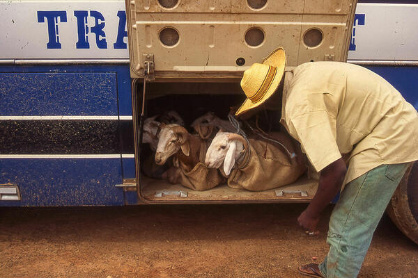
White and blue
by Paolo Spaggiari
6 comments, 620 views
Foto
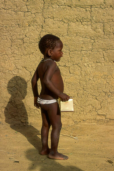
Mali 01
by Umpos
0 comments, 77 views  [retina]
Foto
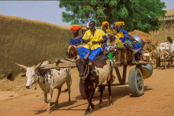
Mali 06
by Umpos
0 comments, 61 views  [retina]
Foto
Mali 14
by Umpos
0 comments, 54 views  [retina]


More » Locations » Mali » Djenné


 ^

JuzaPhoto contains affiliate links from Amazon and Ebay and JuzaPhoto earn a commission in case of purchase through affiliate links.

Mobile Version - juza.ea@gmail.com - Terms of use and Privacy - Cookie Preferences - P. IVA 01501900334 - REA 167997- PEC juzaphoto@pec.it

May Beauty Be Everywhere Around Me