Rank : 9.7 (average on 6 votes)Coordinates : 38.326036, -109.879761 (
Open in Google Maps)
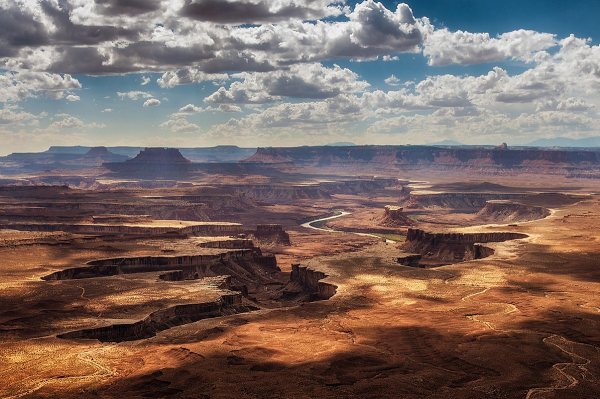
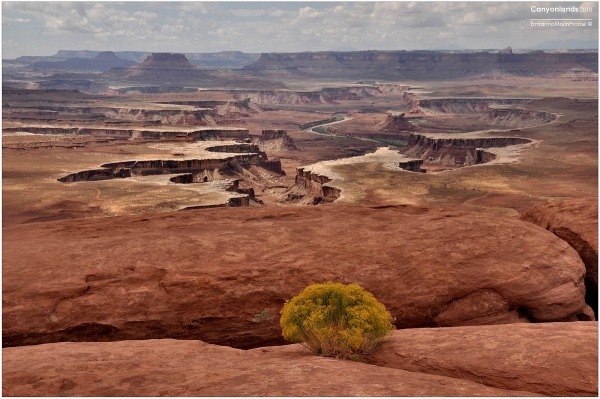
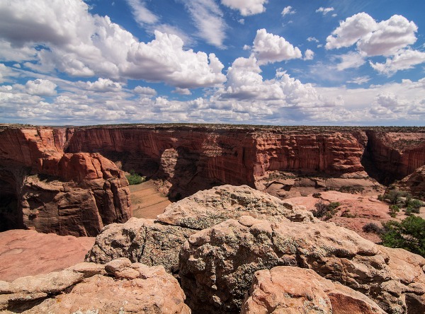
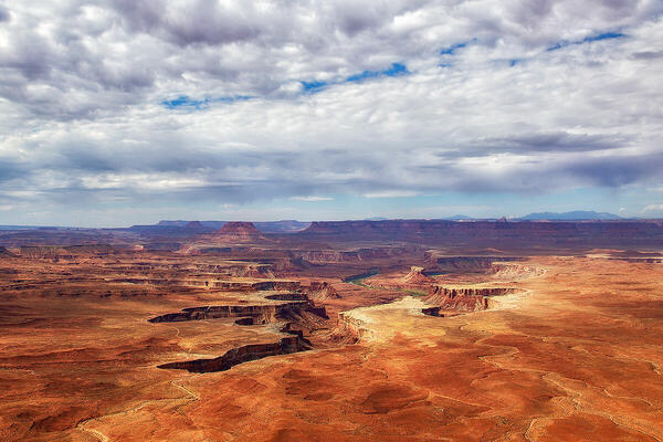
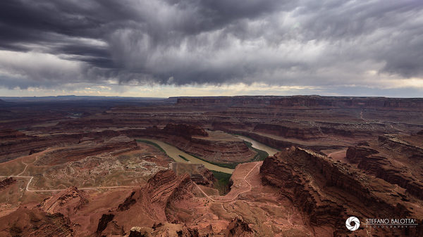
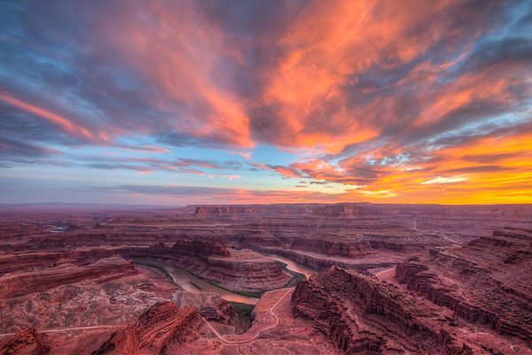
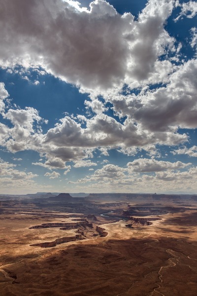
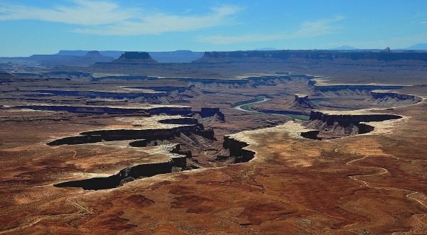
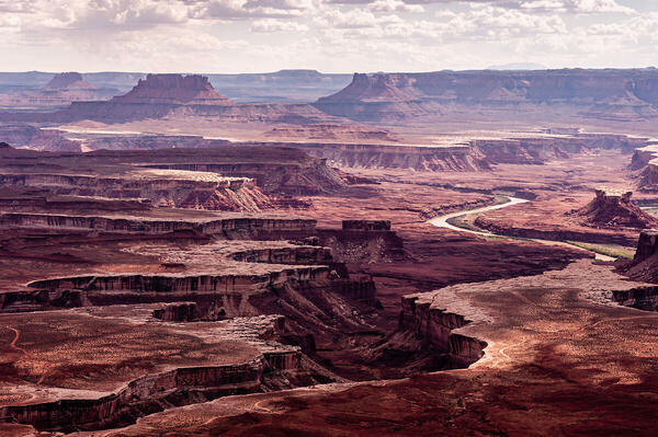
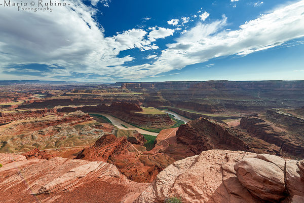
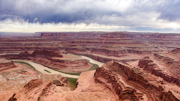
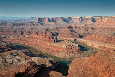
Subjects : Canyonlands is a huge desert park formed by the convergence of two rivers, the Green river from the North West, and the Colorado from the North East. These rivers have carved vast canyons through the Colorado plateau. The park offers endless opportunities for the landscape photographer.
The National Park is physically split into 4 sections:
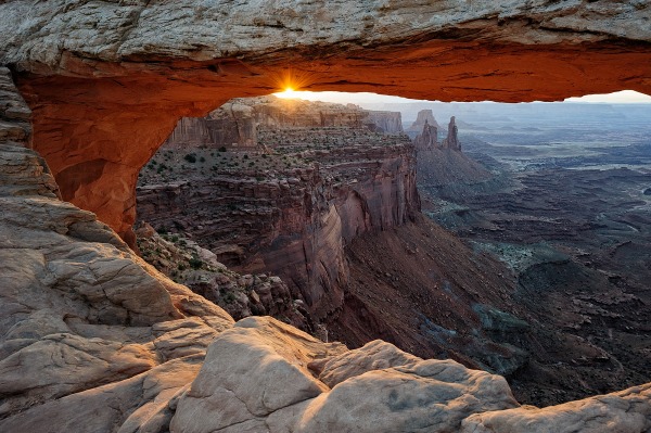
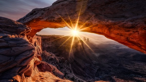
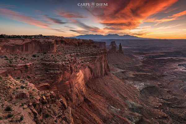
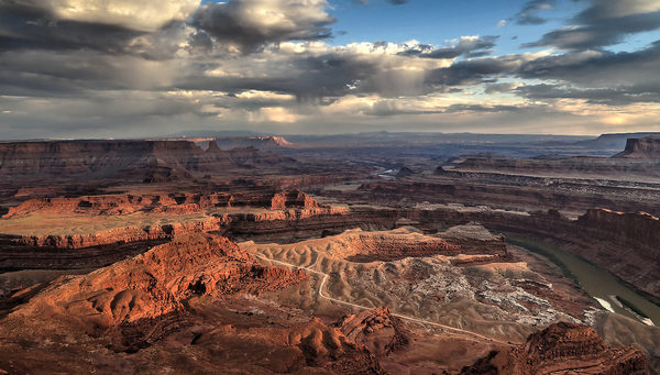
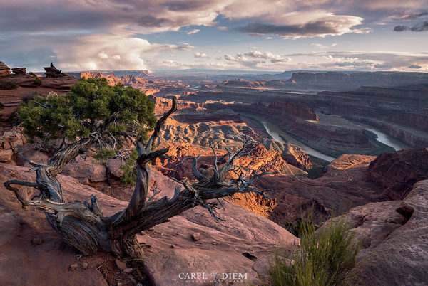
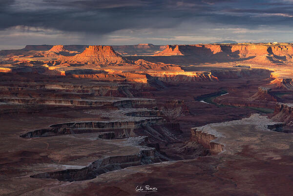
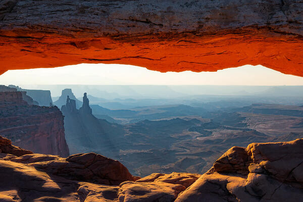
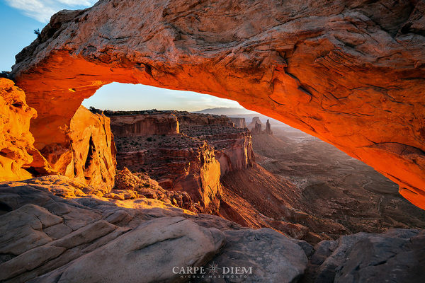
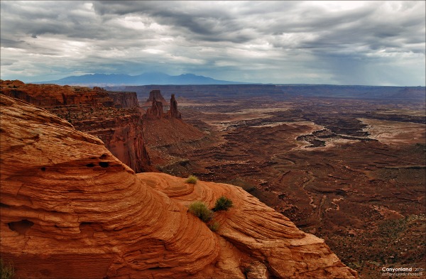
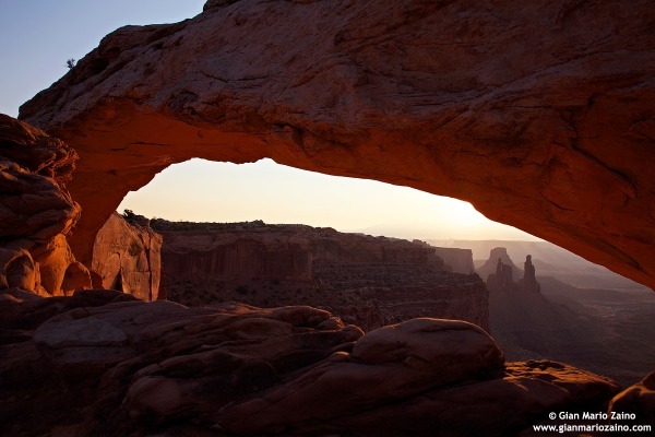
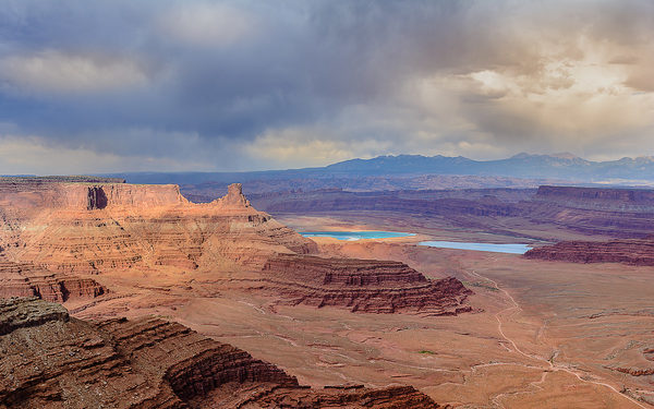
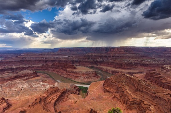
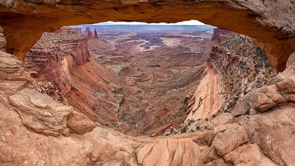
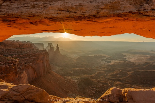
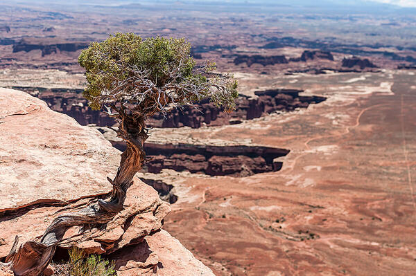
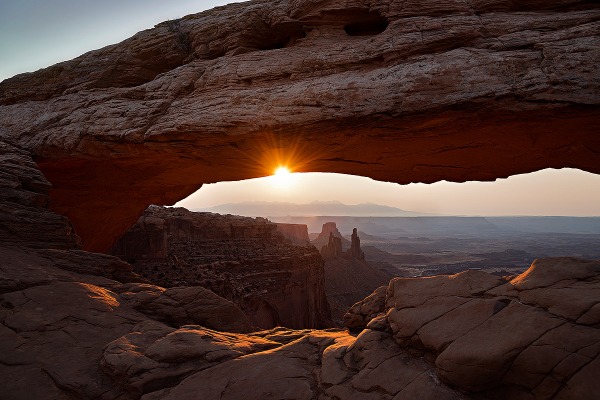
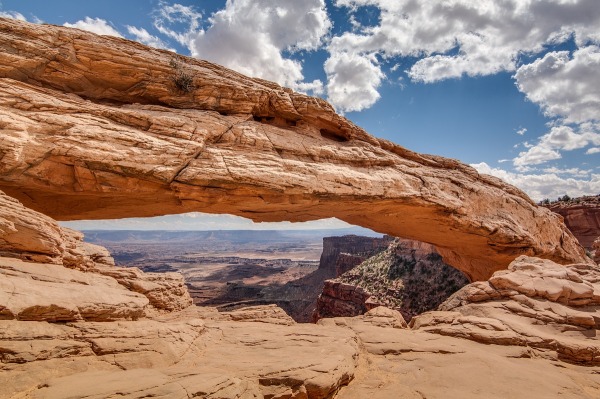
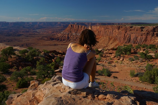
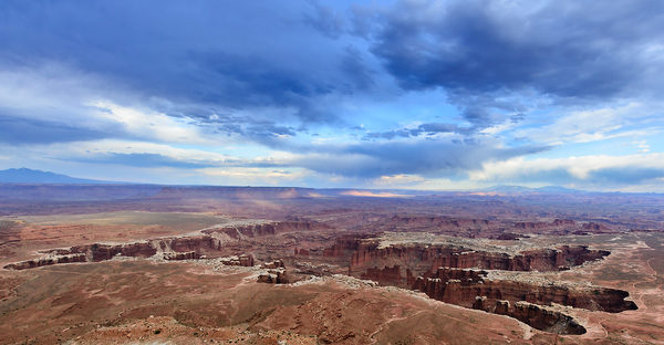
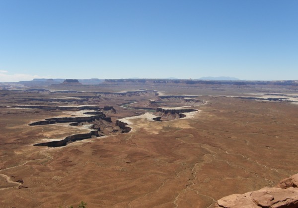
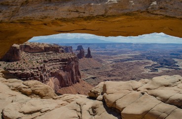
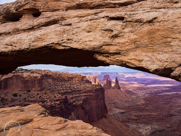
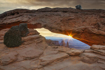
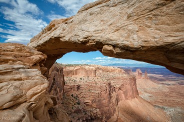
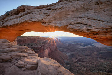
1)The "Island in the Sky" in the north of the park is a high plateau with many overlooks from which you can view the Canyons carved out by the rivers. Upheaval Dome, either an ancient uplift or a meteorite strike, is a chaos of rocks. There are several spectacular dirt roads to test your driving skills, such as the Shafer trail, a dirt track that descends over 450 metres to the plateau below, or the 160 km White Rim trail that runs under the Island in the Sky.
2)The "Needles" section to the South East is a fairly accessible area that leads into some spectacular canyons, such as Elephant Canyon and Chesler Park. Newspaper Rock is covered with petroglyphs picked out by travellers over the centuries.
3)The "Maze" district to the South West is difficult to get to, involving long distances down poorly maintained dirt roads.
4)Horseshoe Canyon is a separate area to the West of the park. Although difficult to reach, involving an 80 km drive on dirt roads, a 250 metre descent into a canyon, and then a 3 km walk along the canyon, you then reach one of the most spectacular examples of rock art in North America, the Great Gallery painted by the Fremont Indians around 500 BC.
Recommended equipment : Everything from wide angle lenses to telephotos to capture distant vistas. Care needs to be taken of all equipment, due to the desert dust and potentially high daytime temperatures
Best months : Spring and Autumn, particularly April, May, September and October. Parts of the park become impassible in winter due to snow. Summer months can get very hot, often over 40 degrees C.
How to get there : My favourite route is to fly into Phoenix, then drive north, past Flagstaff and the Grand Canyon, up Monument Valley, then into southern Utah. The area around Mexican Hat and Bluff offers endless photographic opportnities. Then north to Moab, which is the best base for Canyonlands. The "Island in the Sky" and "Needles" sections of the park are easily accessible from Moab by paved road, but note that although parts of these areas are only a few hundred metres apart, they are separated by the Colorado river, and you need to drive more than 200 km to get between the two!
To get to Horseshoe Canyon, drive to Green River and then take a dirt road towards the Hans Flat ranger station. There is another road in from the west, near to the turn off from Goblin Valley state park.
Other ways to get to Canyonlands would be to fly into Salt Lake City, Denver, Grand Junction or Las Vegas and then drive. There is also a small local airport at Moab.
Remember to always take plenty of water with you when you head off on dirt roads - keep a 5 litre container in the car. You also need a good map.
Visits : Park fees are currently $10 per car, valid for a week. The best place to stay is in Moab, or there are many places to camp. You really need to hire a car to see Canyonlands (and to get there). There are not many paved roads through Canyonlands, but many dirt roads. These dirt roads fall into two camps - the graded dirt roads that can be driven on in a high clearance car or SUV, and the "jeep" roads that can only be tackled with a high performance 4x4. If you plan to drive a lot down dirt roads, then hire an SUV. You can also hire Jeeps for the day in Moab, if you plan to go on the more demanding dirt roads. Note that your hire car insurance may not cover you for driving on dirt roads, so if you get stuck, you will have to pay someone to pull you out!
Another way to see Canyonlands is from the rivers. We recently spent 8 days drifting down the Green River to the confluence with the Colorado. There are commercial trips out of Moab down the Colorado, or multi day white water rafting trips south of the confluence through the fearsome Cataract canyon.
Notes : Tom Till is the master photographer of Canyonlands, and has pioneered many of its most spectacular views. If you need some inspiration, check his website at http://tomtillphotography.com/
You'd be crazy to just go to southern Utah just to see Canyonlands. You could spend the rest of your life photographing the marvels of this part of America and not get bored. Go for as long as you can, and check out the following:
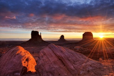
- Monument Valley
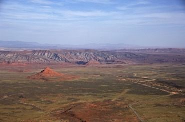
- Bluff, Mexican Hat, the goosenecks of the San Juan river, the Valley of the Gods and Comb Ridge
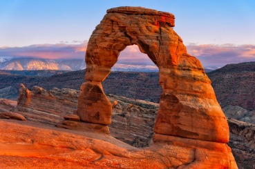
- Arches NP
- Goblin Valley State Park
- The San Rafael Reef
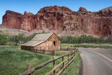
- Capitol Reef NP, particularly the southern part of the park and Cathederal Valley
- The Escalante river and its Canyons
- Bryce Canyon NP
- Zion NP and its hinterland
CalendarSunrise: 05:56, Sunset: 20:39
Show Sunrise and Sunset Calendar DiscussionNo replies
Read the discussion Moon Phase🌖 Waning Gibbous,
Brightness: 86%
Show Moon Phases Calendar 


 JuzaPhoto contains affiliate links from Amazon and Ebay and JuzaPhoto earn a commission in case of purchase through affiliate links.