cover photo by
Lucio Pegoraro
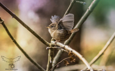
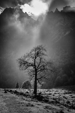
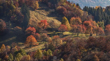
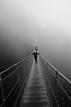
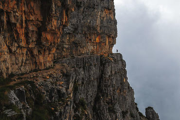
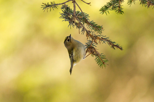
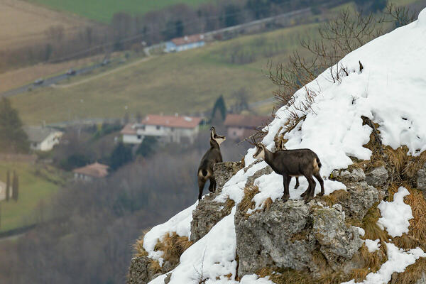
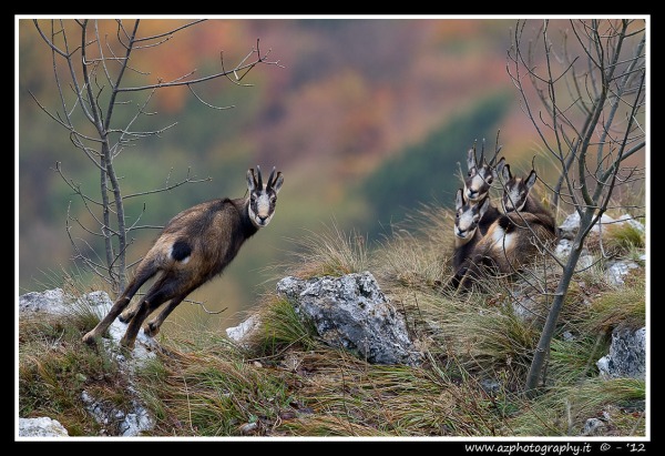
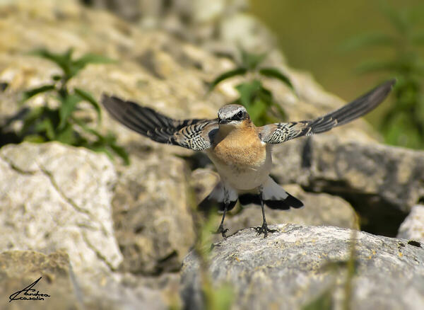
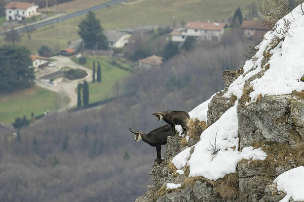
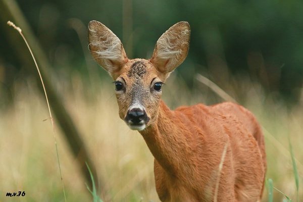
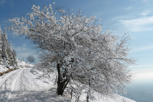
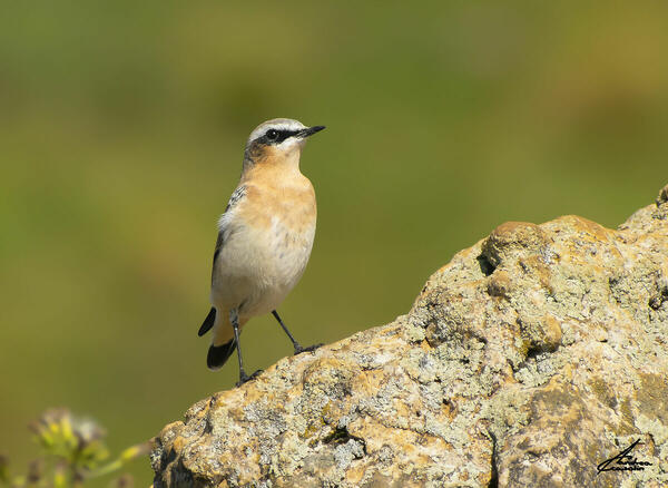
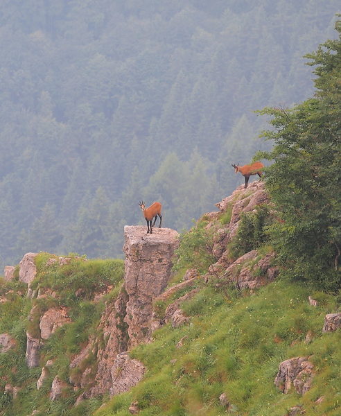
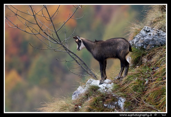
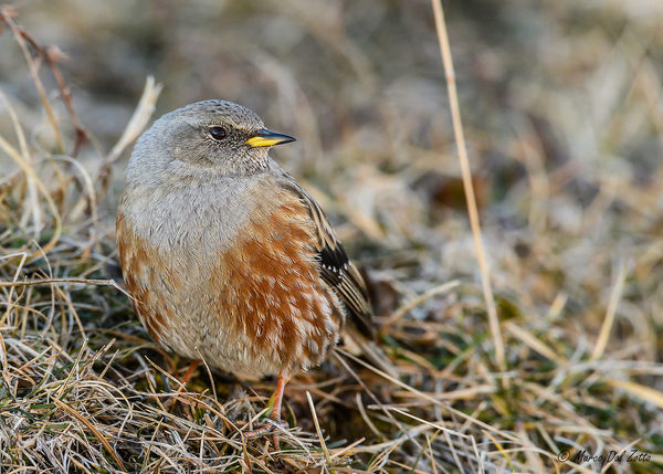
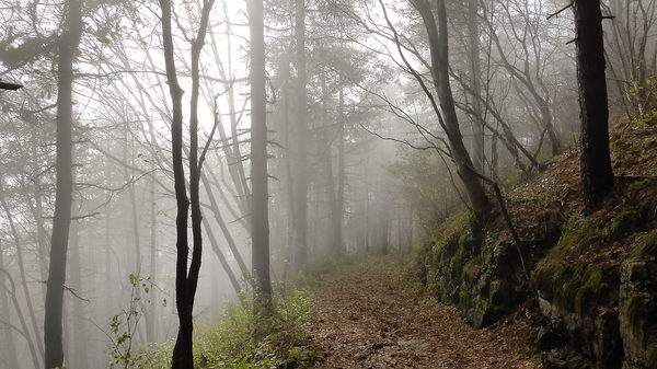
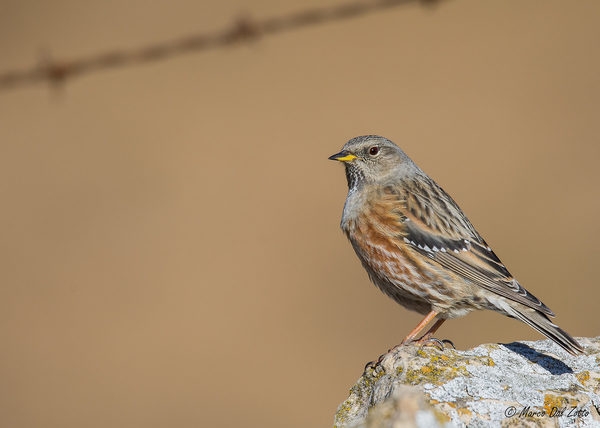
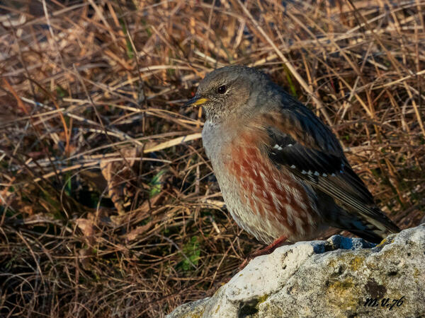
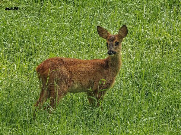
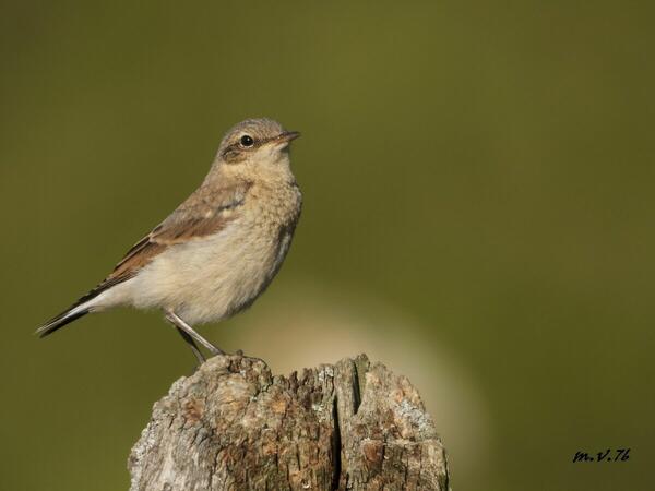
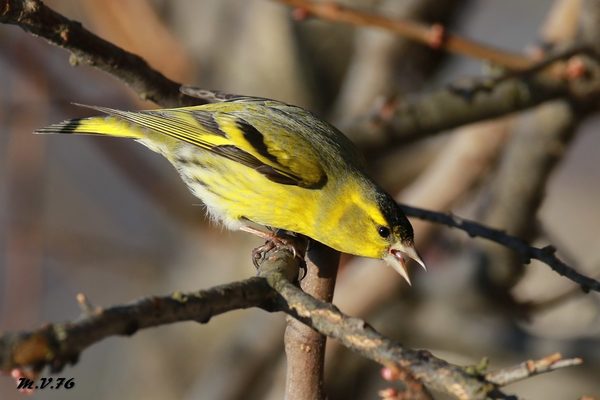
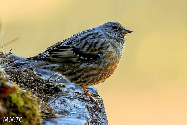
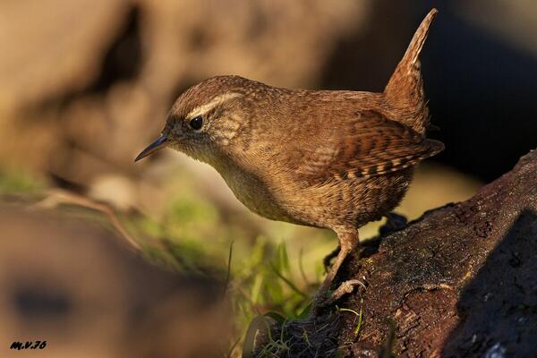
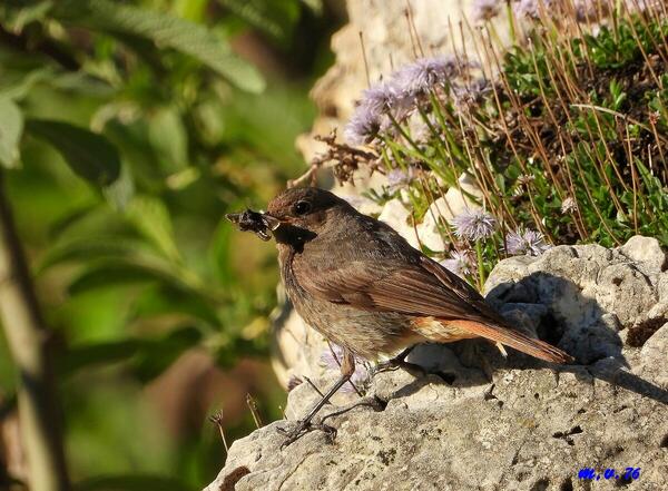
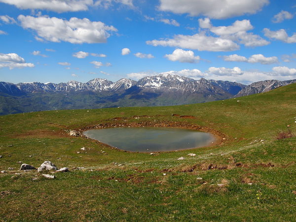
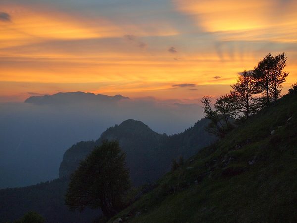
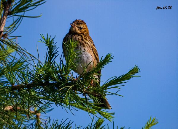
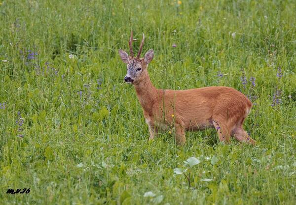
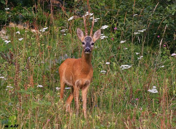
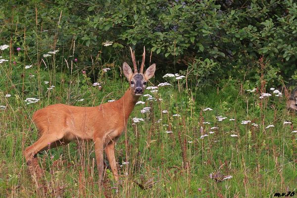
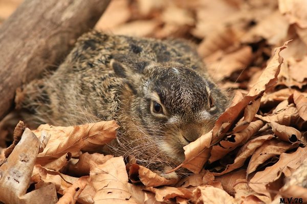
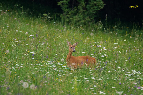
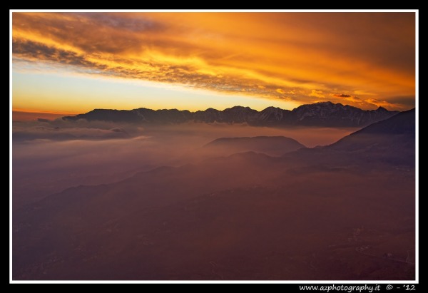
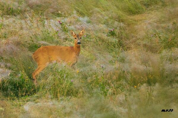
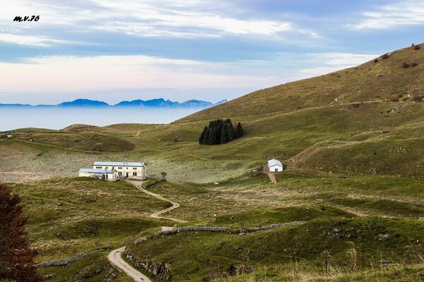
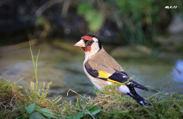
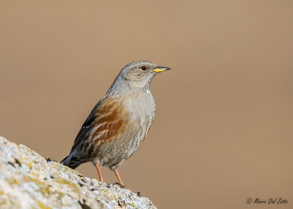
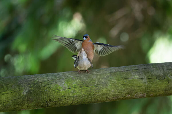
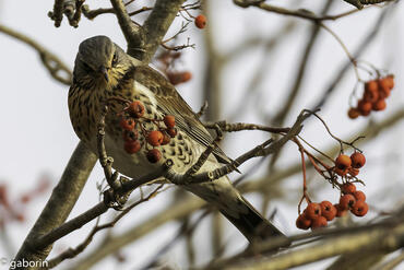
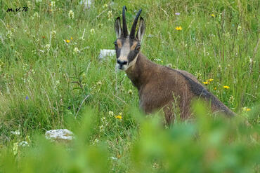
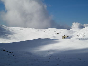
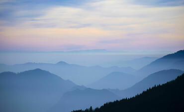
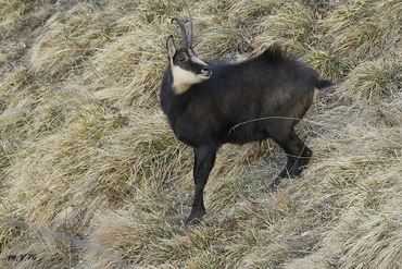
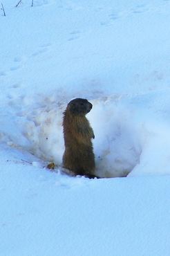
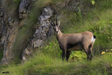
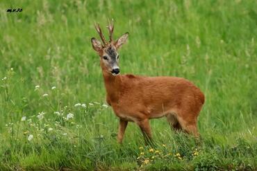
 The information about this location have been automatically translated with Microsoft Translator. The information about this location have been automatically translated with Microsoft Translator. Rank : 8.2 (average on 11 votes)Coordinates : 45.757942, 11.360193 ( Open in Google Maps) Subjects : landscapes (Forest, Mountains, Hills, Plains from above, flower-filled meadows, snow-capped peaks, sunsets, sunrises, rocky ridges), fauna (insects, rodents such Marmotte, deer, ibex, small wild boars, foxes, birds), courses of water (small waterfalls, streams, creeks, small lakes), flora (flowers, evergreens, including Porcini Mushrooms, Morels and Chiodini, grassy meadows)Recommended equipment : tripod, and 105 + goals, lens hood,Best months : winter (during and after the snowfall), summer (during the period of flowering)How to get there : Motorway A31 up to risk, follow up to Santorso, keep to the right and climb towards plateau TrettiVisits : there are places to visit with days and times of opening / closingNotes :
CalendarSunrise: 05:58, Sunset: 20:24 Show Sunrise and Sunset Calendar Discussion25 replies Read the discussion Moon Phase🌕 Full Moon, Brightness: 96% Show Moon Phases Calendar |
Nearby:  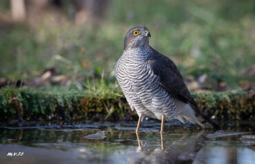 Val d'Astico 7 km
 Tonezza Del Cimone 10 km
 Altopiano delle Montagnole 13 km
 Recoaro Mille 13 km
 Passo di Campogrosso 15 km
 Monte Pasubio 15 km
|


 JuzaPhoto contains affiliate links from Amazon and Ebay and JuzaPhoto earn a commission in case of purchase through affiliate links.

