|
| Accept Cookies | Customize | Refuse Cookies |
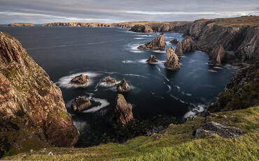
cover photo by Matteovecchi |
| Sort by date |
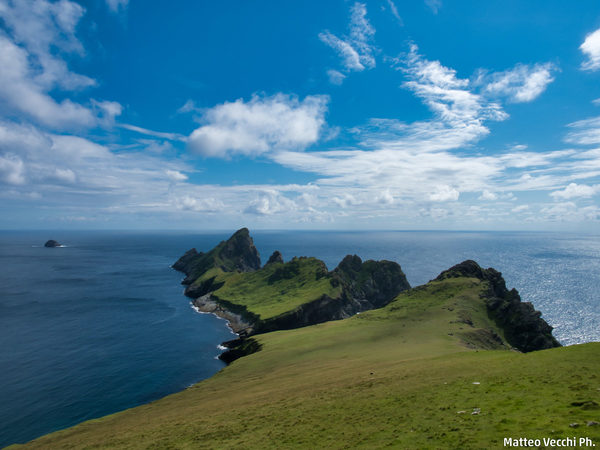 St. Kilda-Dùn by Matteovecchi2 comments, 516 views 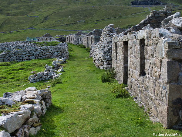 St. Kilda-The village 1 by Matteovecchi0 comments, 471 views  St. Kilda-The Villaggio3 by Matteovecchi0 comments, 387 views 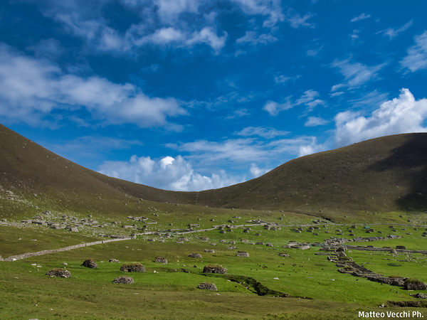 St. Kilda-The Village 2 by Matteovecchi0 comments, 376 views |

 JuzaPhoto contains affiliate links from Amazon and Ebay and JuzaPhoto earn a commission in case of purchase through affiliate links.
May Beauty Be Everywhere Around Me